
1950 Map of Solomon D-5
USGS Topo · Published 1956About this map
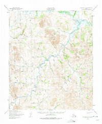
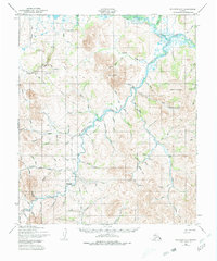
The Casadepaga River and its complex network of tributaries define this landscape on the Seward Peninsula during the mid-century mining era. Evidence of gold-era infrastructure is prominent, including the Solomon Railroad and several sections of an Old Railroad Grade winding through the valley. These routes, alongside a Corduroy Road and the Military Trail, reveal how prospectors and freight teams navigated the interior. Isolated Cabins and the Ruby Roadhouse served as essential waypoints in a region where transport relied on a mix of a Tractor Trail and remote landing sites like the American Creek Landing Strip. High points such as Mount Dixon and Bermudez Bluff overlook a landscape carved by water, where every drainage from Myrtle Creek to Big Four Creek tells a story of early Alaskan exploration.
Find a feature on this map
86 named features on this map. Tap any name to fly to it.
Don’t see what you’re looking for? This feature index may not catch every label — zoom into the map to look around manually.
Map Details
Editions of this 1950 Solomon D-5 Map
3 editions found
Other maps of this area

1907 · Casadepaga
USGS Topo · 1:62,500

1907 · Solomon
USGS Topo · 1:62,500

1950 · Bendeleben A-6
USGS Topo · 1:63,360

1950 · Bendeleben A-4
USGS Topo · 1:63,360

1950 · Bendeleben A-5
USGS Topo · 1:63,360

1950 · Solomon C-5
USGS Topo · 1:63,360

1950 · Solomon C-6
USGS Topo · 1:63,360

1950 · Solomon C-4
USGS Topo · 1:63,360

1950 · Bendeleben
USGS Topo · 1:250,000

1950 · Solomon
USGS Topo · 1:250,000