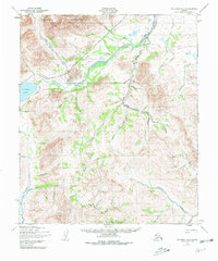
1950 Map of Solomon D-6
USGS Topo · Published 1981About this map
The Kigluaik Mountains dominate the northern horizon of this mid-century survey, their steep drainages feeding a complex network of waterways that define the Seward Peninsula interior. Small Cabins scattered along the banks of the Pilgrim River and near Salmon Lake suggest a landscape utilized for seasonal subsistence and transit rather than permanent township development. This wilderness character is underscored by the presence of a lone Tractor Trail cutting through the valleys, a primary artery for movement in an era before modern road networks reached these remote gold-country watersheds.
Find a feature on this map
51 named features on this map. Tap any name to fly to it.
Don’t see what you’re looking for? This feature index may not catch every label — zoom into the map to look around manually.
Map Details
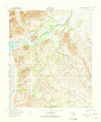
Editions of this 1950 Solomon D-6 Map
3 editions found

Other maps of this area

1907 · Casadepaga
USGS Topo · 1:62,500

1907 · Solomon
USGS Topo · 1:62,500

1950 · Bendeleben A-6
USGS Topo · 1:63,360

1950 · Bendeleben A-5
USGS Topo · 1:63,360

1950 · Nome
USGS Topo · 1:250,000

1950 · Solomon C-5
USGS Topo · 1:63,360

1950 · Solomon C-6
USGS Topo · 1:63,360

1950 · Teller
USGS Topo · 1:250,000

1950 · Bendeleben
USGS Topo · 1:250,000

1950 · Solomon
USGS Topo · 1:250,000