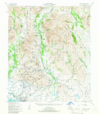
1950 Map of Nome C-1
USGS Topo · Published 1965About this map
Nome and the adjacent settlement of Perkinsville anchor this 1950s landscape, illustrating the enduring infrastructure of the Seward Peninsula. The map reveals an intricate network of gold-rush era water engineering, featuring the Miocene Ditch, Seward Ditch, and numerous Elevated Ditches that once channeled water to hydraulic mining operations. Following the valley of the Nome River, the Seward Peninsula RR tracks north through a terrain defined by prominent heights like Anvil Mountain and Mount Brynteson. Coastal activity is centered around the Nome (Marks) Airport and a designated Mil Res, while the presence of Nome Ruins near the mouth of the Snake River hints at the area's transition following its peak boom years. The landscape is heavily scarred by the region's industrial past, with numerous Tailings Piles and flumes marking the tributary gulches and creeks such as Goldbottom Creek and Last Chance Creek.
Find a feature on this map
142 named features on this map. Tap any name to fly to it.
Don’t see what you’re looking for? This feature index may not catch every label — zoom into the map to look around manually.
Map Details
Editions of this 1950 Nome C-1 Map
4 editions found
Other maps of this area

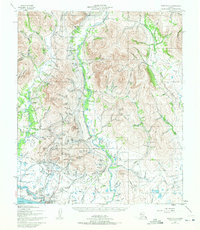
1950 · Nome D-2
USGS Topo · 1:63,360

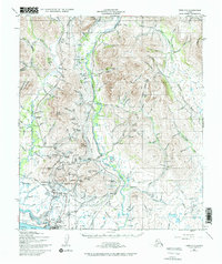
1950 · Nome
USGS Topo · 1:250,000

1950 · Solomon C-6
USGS Topo · 1:63,360

1950 · Nome B-1
USGS Topo · 1:63,360

1950 · Solomon B-6
USGS Topo · 1:63,360

1950 · Solomon
USGS Topo · 1:250,000

1950 · Solomon D-6
USGS Topo · 1:63,360

1950 · Nome D-1
USGS Topo · 1:63,360

1950 · Nome C-2
USGS Topo · 1:63,360

1950 · Nome C-1
USGS Topo · 1:63,360