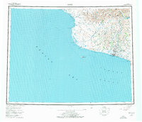
1950 Map of Nome
USGS Topo · Published 1976About this map
The Seward Peninsula coastline at Nome reflects a landscape defined by the legacies of the gold rush and its enduring coastal infrastructure. Inland from the Bering Sea, the terrain rises toward the Kigluaik Mountains, where water bodies like Glacial Lake and Salmon Lake feed the drainage systems that once drew thousands of prospectors. Evidence of post-rush development is visible in labels like Dredge Camp and Fort Davis, while the Taylor Highway provides a primary corridor through the hills. Named peaks such as Anvil Mt and Newton Pk stand as prominent landmarks overlooking the Snake River and Nome River. The map captures the region's unique maritime and mining geography, including coastal points like Cape Nome and Cape Rodney, during a period of mid-century stabilization for these northern outposts.
Find a feature on this map
34 named features on this map. Tap any name to fly to it.
Don’t see what you’re looking for? This feature index may not catch every label — zoom into the map to look around manually.
Map Details
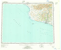
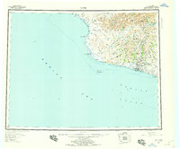
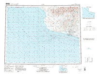
Editions of this 1950 Nome Map
5 editions found
Other maps of this area

1950 · Bendeleben A-6
USGS Topo · 1:63,360

1950 · Nome D-2
USGS Topo · 1:63,360

1950 · Nome D-4
USGS Topo · 1:63,360

1950 · Nome
USGS Topo · 1:250,000

1950 · Solomon C-6
USGS Topo · 1:63,360

1950 · Nome B-1
USGS Topo · 1:63,360

1950 · Teller
USGS Topo · 1:250,000

1950 · Bendeleben
USGS Topo · 1:250,000

1950 · Solomon B-6
USGS Topo · 1:63,360

1950 · Teller A-2
USGS Topo · 1:63,360