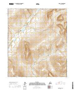
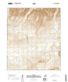
2017 Map of Nome C-2 NW
USGS Topo · Published 2017About this map
Elizabeth Mtn anchors the central landscape of this Seward Peninsula region, where the Sinuk River and Cripple River carve through the high terrain north of Nome. The drainage patterns across this quadrangle reveal a dense network of gold-rush era creeks and gulches, including Green Gulch and Carry Gulch, that have long drawn prospectors to these western Alaska highlands.
Find a feature on this map
27 named features on this map. Tap any name to fly to it.
Don’t see what you’re looking for? This feature index may not catch every label — zoom into the map to look around manually.
Map Details
Editions of this 2017 Nome C-2 NW Map
This is the sole edition of this map. No revisions or reprints were ever made.
Other maps of this area

1950 · Nome D-2
USGS Topo · 1:63,360

1950 · Nome
USGS Topo · 1:250,000
1950 · Nome C-3
USGS Topo · 1:63,360

1950 · Nome D-3
USGS Topo · 1:63,360

1950 · Nome C-2
USGS Topo · 1:63,360

1951 · Nome
USGS Topo · 1:250,000

1957 · Nome
USGS Topo · 1:250,000
1975 · Nome C-3
USGS Topo · 1:63,360
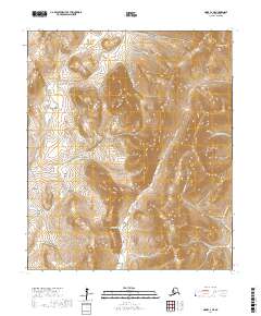
2017 · Nome C-2 NE
USGS Topo · 1:25,000
2017 · Nome D-2 SW
USGS Topo · 1:25,000