Old Maps of Cameron, Arizona for Academic Research
Study the evolution of Cameron with 22 high-resolution historic maps. Whether you're teaching, researching, or modeling changes in land use, these maps provide essential visual documentation of urban, environmental, and geographic change.
- Analyze long-term change: Track patterns in development, transportation, and natural features.
- Ideal for environmental or urban studies: Support academic projects with primary historical map data.
- Use in the classroom or lab: Educators and researchers rely on these maps to bring historical context to life.
These maps are a powerful tool for teaching, research, and visualizing how Cameron has changed over the decades.
Cameron, AZ maps
(22)- 1886 Map of San Francisco Mtns
 1886 San Francisco Mtns1886 Print · USGSNorthern Arizona's high desert and peaks are documented here just as the rail era transformed the territory. Trace the early path of the Atlantic and Pacific Railroad through Flagstaff and find landmarks like Fort Moroni and Grand Falls.
 - 1891 Map of San Francisco Mtns
 1891 San Francisco Mtns1891 Print · USGSNorthern Arizona's high country during the territorial era is defined by the arrival of the railroad and the growth of mountain settlements. Trace the early layout of Flagstaff and follow the Atlantic and Pacific Railroad past Fort Moroni and through the San Francisco Mountains.
 - 1894 Map of San Francisco Mtns
 1894 San Francisco Mtns1894 Print · USGSNorthern Arizona's high timber and volcanic peaks appear here in the late nineteenth century as the railroad transforms the plateau. Trace early settlements like Flagstaff and Cosnino or locate territorial landmarks like Fort Moroni and Le Roux Spring.5 unique versions available
 - 1899 Map of San Francisco Mtns, 1922 Print
 1899 San Francisco Mtns1922 Print · USGSNorthern Arizona's high timber and desert plateau come alive in this late nineteenth-century survey. You can trace the early growth of Flagstaff, find the outpost at Fort Moroni, and follow the Santa Fe Pacific Railroad to Canyon Diablo.
 - 1947 Map of Flagstaff, 1948 Print
 1947 Flagstaff1948 Print · USGSThe Arizona high country and the Painted Desert converge in this post-war survey. Researchers can trace the ancient mesa villages of Walpi and Oraibi, the early roads of Flagstaff, and landmarks like Sunset Crater National Monument.2 unique versions available
 - 1954 Map of Flagstaff, 1966 Print
 1954 Flagstaff1966 Print · USGSNorthern Arizona in the mid-fifties shows a landscape of volcanic peaks and ancestral mesa villages linked by the iconic U.S. 66. Trace the path of the Atchison Topeka and Santa Fe through Winslow or explore the settlements of Old Oraibi and Kearns Canyon.3 unique versions available
 - 1955 Map of Cameron SW, 1957 Print
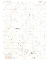
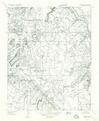 1955 Cameron SW1957 Print · USGSThe Navajo landscape of the mid-fifties is captured here as a network of traditional dwellings and desert outposts. Researchers can trace the early Navahopi Road and locate remote sites such as the Buck Rodgers Trading Post and Tanners Crossing.
 - 1955 Map of Cameron, 1959 Print
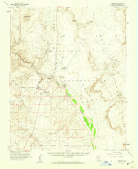 1955 Cameron1959 Print · USGSThe Navajo Nation's high desert landscape comes alive in this mid-fifties survey of the Painted Desert and the Little Colorado River. Genealogists and historians can locate the Buck Rodgers Trading Post, the community of Cameron, and the historic Tanners Crossing Foot Tr.2 unique versions available
 - 1958 Map of Flagstaff
 1958 Flagstaff1958 Print · USGSNorthern Arizona in the late fifties is captured here during the heyday of Route 66 and the expansion of the high desert rail corridors. Researchers can trace historic mesa settlements like Old Oraibi or follow the path of the Atchison Topeka and Santa Fe through Flagstaff and Winslow.
 - 1960 Map of Flagstaff
 1960 Flagstaff1960 Print · USGSNorthern Arizona at the dawn of the sixties shows a landscape defined by mesa-top Hopi villages and the burgeoning railroad hub of Flagstaff. Trace the path of U.S. 66 past Meteor Crater or locate historic trading posts like Gray Mountain Trading Post.2 unique versions available
 - 1962 Map of Flagstaff
 1962 Flagstaff1962 Print · USGSNorthern Arizona in the early sixties showcases the intersection of Tribal lands, national forests, and the busy Route 66 corridor. Trace historic roadside stops and landmarks like Meteor Crater, the Buck-Rodgers Trading Post, and the ancient village of Old Oraibi.
 - 1982 Map of Cameron, 1983 Print
 1982 Cameron1983 Print · USGSCoconino County and the Navajo Nation meet in this early 1980s landscape of high plateaus and ancient ruins. Researchers can locate remote landmarks like Lomaki Ruin and Shadow Mtn or trace the winding path of the Little Colorado River.
 - 1988 Map of Cameron South
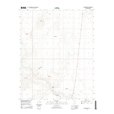
 1988 Cameron South1988 Print · USGSThe Navajo Nation's high-desert landscape meets the bend of the river in the late eighties. Genealogists and historians can trace essential desert water sources like Tappan Spring and identify the historic location of Tanners Crossing near the settlement of Cameron.
 - 1988 Map of Cameron North
 1988 Cameron North1988 Print · USGSThe Navajo Indian Reservation landscape is recorded here in the late eighties, centered on the Little Colorado River gorge. Researchers can trace remote desert routes like the Hopi Canyon Trail or locate the volcanic Shadow Mountain and nearby Cinder Pits.
 - 2011 Map of Cameron South, 2011 Print
 2011 Cameron South2011 Print · USGSCovers Cameron, including Coconino County, United States, and other nearby areas
 - 2011 Map of Cameron North, 2011 Print
 2011 Cameron North2011 Print · USGSCovers Cameron, including Coconino County, United States, and other nearby areas
 - 2014 Map of Cameron North, 2014 Print
 2014 Cameron North2014 Print · USGSCovers Cameron, including Coconino County, United States, and other nearby areas
 - 2014 Map of Cameron South, 2014 Print
 2014 Cameron South2014 Print · USGSCovers Cameron, including Coconino County, United States, and other nearby areas
 - 2018 Map of Cameron North, 2018 Print
 2018 Cameron North2018 Print · USGSCovers Cameron, including Coconino County, United States, and other nearby areas
 - 2018 Map of Cameron South, 2018 Print
 2018 Cameron South2018 Print · USGSCovers Cameron, including Coconino County, United States, and other nearby areas
 - 2021 Map of Cameron South, 2021 Print
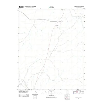
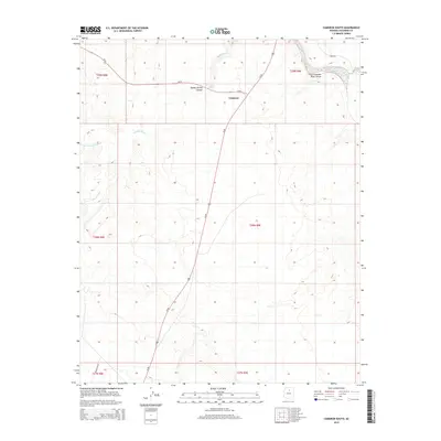
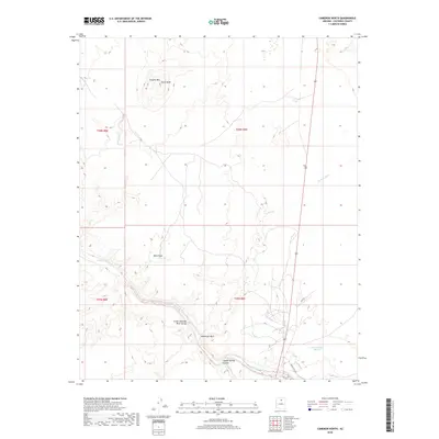
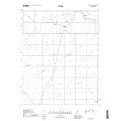
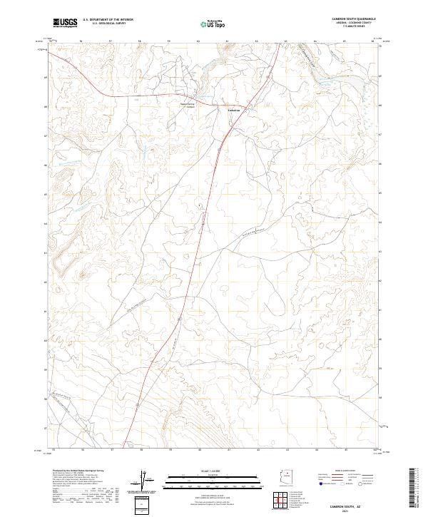 2021 Cameron South2021 Print · USGSCameron and the surrounding Coconino County plateau are captured here in the early 2020s, revealing a landscape shaped by deep river canyons and desert utility routes. Researchers can trace the path of Old US Hwy 89 or locate vital water sources like Tappan Spring and Junius Spring.
 - 2021 Map of Cameron North, 2021 Print
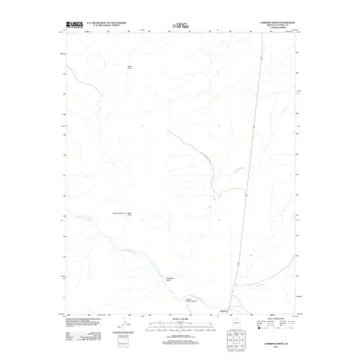
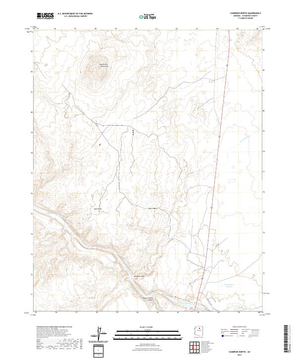 2021 Cameron North2021 Print · USGSCoconino County’s high desert landscape is documented here in the early 2020s, centered on the dramatic Little Colorado River Gorge. Trace the rugged topography of Shadow Mtn and follow the route of Highway 89 across the Moenkopi Wash.
End of results
Showing maps 1-22 of 22
Frequently asked questions
- What are the different types of historical maps available for Cameron?
- What is the oldest map of Cameron?
- Where can I purchase historical maps of Cameron for my home or office?
- Where can I download high-res historical maps of Cameron?
- Are there historical topographic maps available for Cameron?
- Is there historical aerial imagery available for Cameron?
- Where are historical maps of Cameron sourced from?