2000s (21st Century) Maps of Munds Park, Arizona
Explore 8 historic maps of Munds Park from the 2000s (21st Century). These maps offer a rare glimpse into what life looked like during the 2000s — showing old roads, neighborhoods, homes, and landmarks that have changed or disappeared over time.
Whether you're researching your family's past, planning a metal detecting trip, or studying how Munds Park's landscape evolved across the 2000s, these high-resolution maps are a powerful tool for exploring the history of this region.
- Focus on a specific era: All maps on this page are from the 2000s, giving you a focused view of this time period.
- See what’s changed: Compare century-old streets, trails, and buildings to today's modern landscape using overlays and satellite layers.
- Research with precision: Use these maps for genealogy, historical research, land use analysis, or educational projects.
- View, download, or print: Maps are fully viewable online in high resolution, and can be downloaded or printed for your own records.
Start exploring Munds Park's history through authentic maps from the 2000s. This is your window into the past.
Munds Park, AZ maps
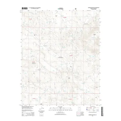
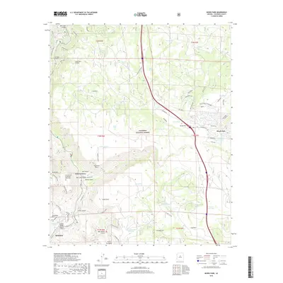
(8)- 2011 Map of Mormon Mountain, 2011 Print
 2011 Mormon Mountain2011 Print · USGSCovers Munds Park, including Coconino County, United States, and other nearby areas
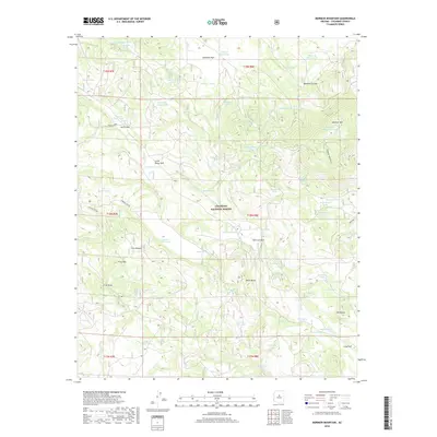
 - 2011 Map of Munds Park, 2011 Print
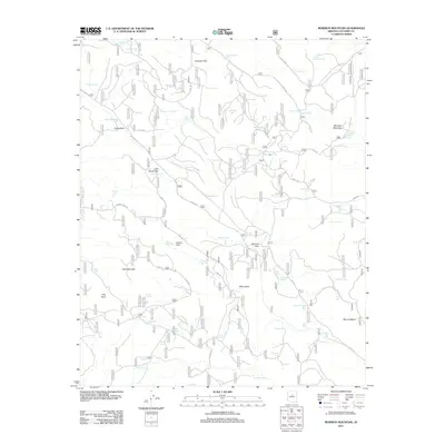
 2011 Munds Park2011 Print · USGSCovers Munds Park, including Sedona, Indian Gardens, and other nearby areas
 - 2014 Map of Mormon Mountain, 2014 Print
 2014 Mormon Mountain2014 Print · USGSCovers Munds Park, including Coconino County, United States, and other nearby areas
 - 2014 Map of Munds Park, 2014 Print
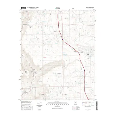 2014 Munds Park2014 Print · USGSCovers Munds Park, including Sedona, Indian Gardens, and other nearby areas
 - 2018 Map of Mormon Mountain, 2018 Print
 2018 Mormon Mountain2018 Print · USGSCovers Munds Park, including Coconino County, United States, and other nearby areas
 - 2018 Map of Munds Park, 2018 Print
 2018 Munds Park2018 Print · USGSCovers Munds Park, including Sedona, Indian Gardens, and other nearby areas
 - 2021 Map of Mormon Mountain, 2021 Print
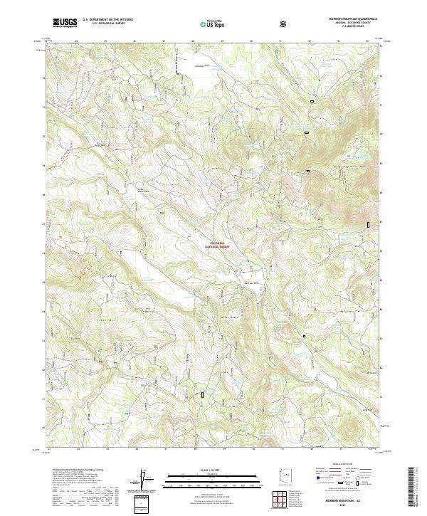 2021 Mormon Mountain2021 Print · USGSThe high timberlands of Coconino County are captured here in the early twenty-first century, centered on the summit of Mormon Mtn. Researchers can trace old forest trails and locate numerous mountain glades and water sources like Horse Park, Milos Butte, and T-Six Canyon.
 - 2021 Map of Munds Park, 2021 Print
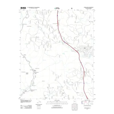
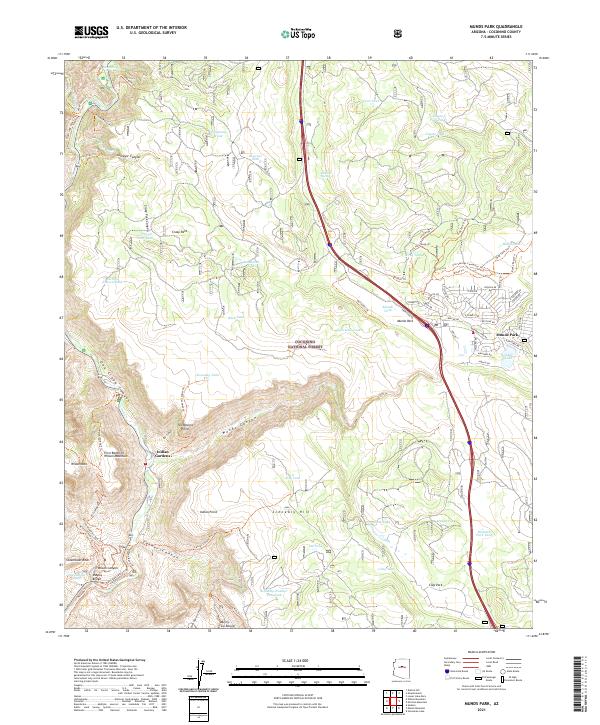 2021 Munds Park2021 Print · USGSHigh-altitude forest and canyon lands north of Sedona come to life in this contemporary study of the Coconino plateau. Researchers can trace modern residential growth in Munds Park and locate numerous springs and tanks, from Willard Spring to Skeleton Park Tank.
End of results
Showing maps 1-8 of 8
Top cities near Munds Park
- Flagstaff historical maps
- Sedona historical maps
- Kachina Village historical maps
- Mountainaire historical maps
Frequently asked questions
- What are the different types of historical maps available for Munds Park?
- What is the oldest map of Munds Park?
- Where can I purchase historical maps of Munds Park for my home or office?
- Where can I download high-res historical maps of Munds Park?
- Are there historical topographic maps available for Munds Park?
- Is there historical aerial imagery available for Munds Park?
- Where are historical maps of Munds Park sourced from?