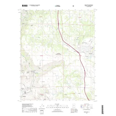
2018 Map of Munds Park
USGS Topo · Published 2018About this map
Sedona and the resort community of Munds Park occupy opposite ends of this landscape, which is defined by the dramatic transitions of Coconino National Forest. The map illustrates the historic transit routes through the red rock country, including the winding Schnebly Hill Rd and the crossing at Midgley Bridge. The presence of numerous stock tanks, such as Blowout Tank and Frog Tank, underscores the area's grazing history within the forest allotments.
Find a feature on this map
79 named features on this map. Tap any name to fly to it.
Don’t see what you’re looking for? This feature index may not catch every label — zoom into the map to look around manually.
Map Details
Editions of this 2018 Munds Park Map
This is the sole edition of this map. No revisions or reprints were ever made.
Other maps of this area

1886 · San Francisco Mtns
USGS Topo · 1:250,000

1887 · Verde
USGS Topo · 1:250,000

1891 · San Francisco Mtns
USGS Topo · 1:250,000

1892 · Verde
USGS Topo · 1:250,000

1894 · San Francisco Mtns
USGS Topo · 1:250,000

1899 · San Francisco Mtns
USGS Topo · 1:250,000

1908 · Flagstaff
USGS Topo · 1:125,000

1912 · Flagstaff
USGS Topo · 1:125,000

1923 · Camp Verde
USGS Topo · 1:125,000

1932 · Camp Verde
USGS Topo · 1:125,000