Old Maps of Rose Well Camp, Arizona for Academic Research
Study the evolution of Rose Well Camp with 14 high-resolution historic maps. Whether you're teaching, researching, or modeling changes in land use, these maps provide essential visual documentation of urban, environmental, and geographic change.
- Analyze long-term change: Track patterns in development, transportation, and natural features.
- Ideal for environmental or urban studies: Support academic projects with primary historical map data.
- Use in the classroom or lab: Educators and researchers rely on these maps to bring historical context to life.
These maps are a powerful tool for teaching, research, and visualizing how Rose Well Camp has changed over the decades.
Rose Well Camp, AZ maps
(14)- 1886 Map of Chino
 1886 Chino1886 Print · USGSThe northern Arizona frontier comes to life in the 1880s as the rail line pushes across the high desert and mountain plateaus. Researchers can trace early water sources and settlements like Garland Ranch, Kerlin Well, and the historic Beale Wagon road.2 unique versions available
 - 1891 Map of Chino
 1891 Chino1891 Print · USGSIn the high country of northern Arizona during the late nineteenth century, the arrival of the railroad began to reshape the old frontier. Trace the route of the historic Beale Wagon road and find early mountain settlements and rail stops like Ash Fork, Williams, and Garland Ranch.4 unique versions available
 - 1948 Map of Williams
 1948 Williams1948 Print · USGSNorthern Arizona is captured here during the post-war era of roadside travel and heavy rail transport along the Santa Fe line. Researchers can trace the path of Route 66 through settlements like Seligman, Valentine, and Hackberry while exploring the vast terrain of the Hualpai Indian Reservation.2 unique versions available
 - 1954 Map of Williams, 1972 Print
 1954 Williams1972 Print · USGSThe high plateau of Northern Arizona is captured here during the mid-fifties, showing the rail-and-road corridor before the interstate era. You can trace family roots through remote railroad stops like Audley and Pica or locate early landmarks such as Grand Canyon Caverns and Frazier Wells.
 - 1956 Map of Williams, 1963 Print
 1956 Williams1963 Print · USGSNorthern Arizona in the mid-fifties reveals a landscape shaped by the Atchison Topeka and Santa Fe railroad and the iconic Highway 66. Trace the route of early travelers through Peach Springs, Seligman, and Ash Fork, or find remote sites like the Music Mountain Mine (Gold).3 unique versions available
 - 1960 Map of Williams
 1960 Williams1960 Print · USGSNorthern Arizona in the mid-twentieth century was defined by its massive canyons and the vital rail line connecting its remote ranches. Genealogists and historians can trace the development of Peach Springs, the high-altitude Bill Williams Mountain, and isolated outposts like Diamond Bar Ranch.
 - 1961 Map of Williams
 1961 Williams1961 Print · USGSNorthern Arizona in the mid-fifties reveals a high-desert landscape of rail towns and deep canyons along the Atchison Topeka and Santa Fe. Researchers can trace old Route 66 through Peach Springs, Seligman, and Ash Fork, or find remote sites like Music Mountain Mine.
 - 1980 Map of Rose Well Camp West
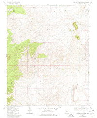 1980 Rose Well Camp West1980 Print · USGSThe northern Arizona plateau and the Hualapai Indian Reservation appear in the early 1980s as a landscape of remote cattle camps. Researchers can trace the network of watering tubs and tanks, from Rose Well Camp to Owen Dam and Tub No 2.
 - 1983 Map of Valle
 1983 Valle1983 Print · USGSThe Coconino Plateau in the early eighties shows a landscape of vital transit corridors and remote outposts. Trace the path of the Atchison Topeka and Santa Fe railroad or locate isolated landmarks like Rose Well Camp and the Copper Queen Mine.3 unique versions available
 - 2011 Map of Rose Well Camp West, 2011 Print
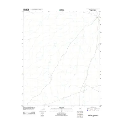 2011 Rose Well Camp West2011 Print · USGSThe northern Arizona range in the early twenty-first century is captured here, focusing on the remote livestock infrastructure of Coconino County. Researchers can trace land use through named water catchments like Mexican Tank and Tub Number One near Rose Well Camp.
 - 2014 Map of Rose Well Camp West, 2014 Print
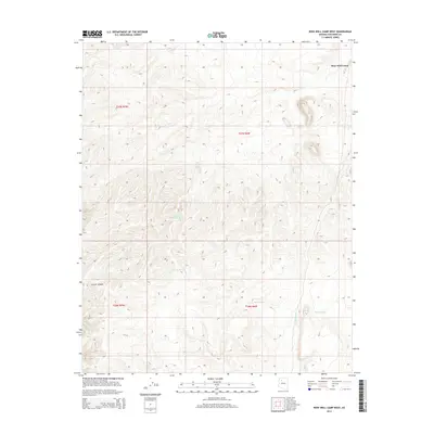 2014 Rose Well Camp West2014 Print · USGSCoconino County’s high desert landscape is documented here in the early twenty-first century, showing a remote region of the Arizona strip. Researchers can trace essential water features like Rose Well Camp, Mexican Tank, and the various catchments of Wheat Tub.
 - 2018 Map of Rose Well Camp West, 2018 Print
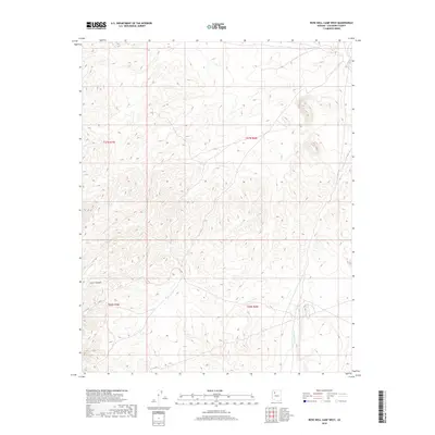 2018 Rose Well Camp West2018 Print · USGSCoconino County’s high-desert terrain is captured in detail during this late twenty-first-century survey of the Arizona plateau. Geographic researchers can trace the natural drainage of Chino Wash and the distinct landforms of Crater Canyon across the undeveloped landscape.
 - 2021 Map of Rose Well Camp West, 2021 Print
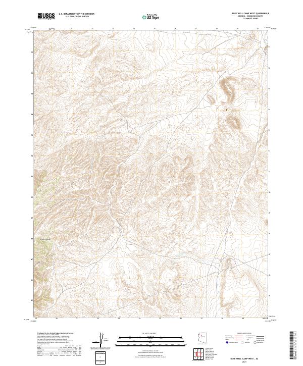 2021 Rose Well Camp West2021 Print · USGSCoconino County’s high plateau is captured in this recent survey, showcasing the remote desert geography of northern Arizona. Map collectors and hikers can trace the winding course of Chino Wash and the distinct landforms of Crater Canyon.
 - 2026 Map of Rose Well Camp West, 2026 Print
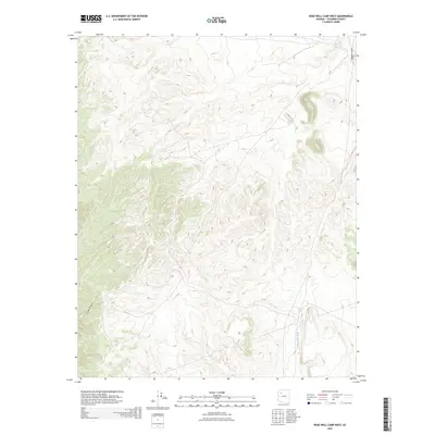 2026 Rose Well Camp West2026 Print · USGSCovers Rose Well Camp, including Coconino County, United States, and other nearby areas
End of results
Showing maps 1-14 of 14
Frequently asked questions
- What are the different types of historical maps available for Rose Well Camp?
- What is the oldest map of Rose Well Camp?
- Where can I purchase historical maps of Rose Well Camp for my home or office?
- Where can I download high-res historical maps of Rose Well Camp?
- Are there historical topographic maps available for Rose Well Camp?
- Is there historical aerial imagery available for Rose Well Camp?
- Where are historical maps of Rose Well Camp sourced from?