Old Maps of Canyon Day, Arizona for Genealogy
Trace your family roots with 12 historic maps of Canyon Day. These high-res maps reveal old neighborhoods, homesites, landmarks, and streets — helping you uncover where your ancestors lived and how the area evolved over time.
- Explore historic neighborhoods: Identify where your relatives may have lived in the 1800s or 1900s.
- Compare maps over time: Trace the changes in streets, buildings, and landmarks for multi-generational research.
- Perfect for genealogy & ancestry research: Used by family historians and researchers to map out lineage and migration.
These maps are an incredible resource for exploring your personal connection to Canyon Day's past.
Canyon Day, AZ maps
(12)- 1954 Map of Mesa, 1968 Print
 1954 Mesa1968 Print · USGSCentral Arizona in the mid-fifties reveals the rapid growth of the Valley of the Sun alongside the deep-rooted mining districts of the eastern mountains. Genealogists and researchers can trace the expansion of Mesa and Chandler or locate legacy operations at Inspiration Mine and the Magma Arizona railroad.4 unique versions available
 - 1957 Map of Mesa
 1957 Mesa1957 Print · USGSCentral Arizona's desert valleys and high-mountain mining districts come alive in the mid-fifties. Researchers can trace the early layout of Mesa and Phoenix or locate remote sites like Inspiration Mine and Arizona State College.
 - 1958 Map of Mesa
 1958 Mesa1958 Print · USGSMid-century Arizona comes alive in this survey of the valley and high desert, where urban growth begins to transform the landscape. Genealogists and researchers can trace the rail-and-mine economy through Inspiration Mine and old stops like Rittenhouse and Magma.
 - 1960 Map of Mesa
 1960 Mesa1960 Print · USGSThe Salt River Valley and Superstition wilderness are captured here during a era of rapid post-war growth. Researchers can trace the mid-century footprints of Williams AF Base and Arizona State College or locate the deep-rock shafts of the Old Dominion Mine and Magma Mine.
 - 1964 Map of Mesa
 1964 Mesa1964 Print · USGSCentral Arizona in the mid-1960s reveals a landscape defined by rapid desert urbanization and a massive copper mining industry. Genealogists and historians can trace the growth of Phoenix or explore the mining camps and operations at Miami Mine and Magma Mine.
 - 1966 Map of Canyon Day, 1968 Print
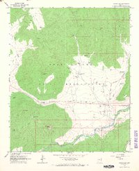 1966 Canyon Day1968 Print · USGSThe White River valley and the Fort Apache Indian Reservation are captured here in the mid-sixties, showing a landscape of deep canyons and tribal settlements. Researchers can locate the Kinishba Ruins, trace the Old Indian School Boundary, and identify landmarks like Canyon Day and Stockman Station.
 - 1978 Map of Canyon Day
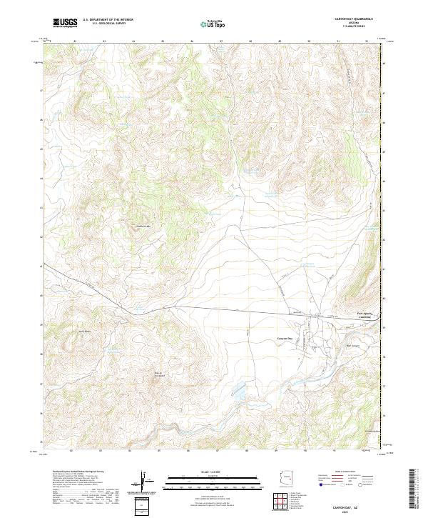
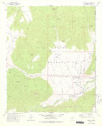 1978 Canyon Day1978 Print · USGSThe White River valley in the late 1970s reveals a unique intersection of ancient history and ranching life within the Fort Apache Indian Reservation. Local historians can trace the Old Military Road or locate the Kinishba Ruins and the small settlement at Canyon Day.
 - 1992 Map of Seneca, 1993 Print
 1992 Seneca1993 Print · USGSGila County in the early nineties remains a wild landscape of tribal reservations and national forest. Researchers can trace historic mining at the Old Owen McMillenville Mine, locate the remote settlement of Cibecue, and map the rugged drainages of the Salt River.2 unique versions available
 - 2011 Map of Canyon Day, 2011 Print
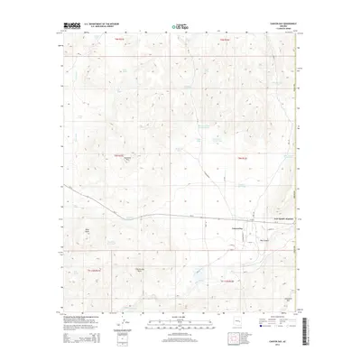
 2011 Canyon Day2011 Print · USGSCovers Canyon Day, including Fort Apache Junction, Navajo County, and other nearby areas
 - 2014 Map of Canyon Day, 2014 Print
 2014 Canyon Day2014 Print · USGSCovers Canyon Day, including Fort Apache Junction, Navajo County, and other nearby areas
 - 2018 Map of Canyon Day, 2018 Print
 2018 Canyon Day2018 Print · USGSCovers Canyon Day, including Fort Apache Junction, Navajo County, and other nearby areas
 - 2021 Map of Canyon Day, 2021 Print
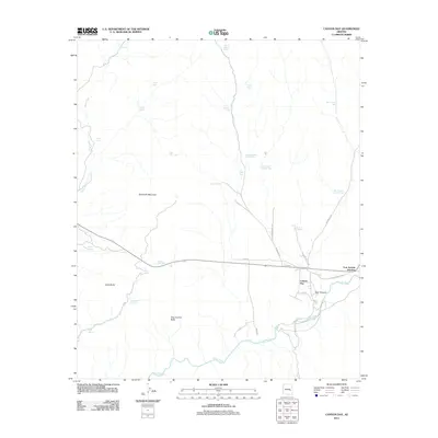
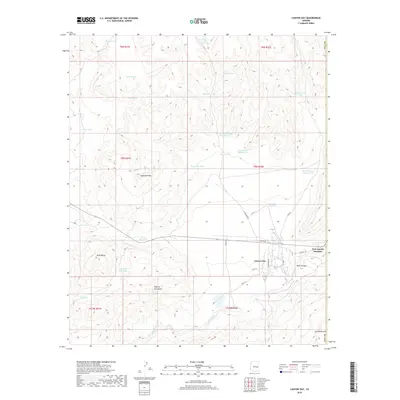
 2021 Canyon Day2021 Print · USGSCanyon Day and the junction at Fort Apache are shown here in the early twenty-first century, situated along the White River. Local historians can trace the street layouts of the settlement or locate numerous named tanks and springs like Amos Tank and Sore Spring.
End of results
Showing maps 1-12 of 12
Top cities near Canyon Day
Frequently asked questions
- What are the different types of historical maps available for Canyon Day?
- What is the oldest map of Canyon Day?
- Where can I purchase historical maps of Canyon Day for my home or office?
- Where can I download high-res historical maps of Canyon Day?
- Are there historical topographic maps available for Canyon Day?
- Is there historical aerial imagery available for Canyon Day?
- Where are historical maps of Canyon Day sourced from?