2000s (21st Century) Maps of Hayden, Arizona
Explore 9 historic maps of Hayden from the 2000s (21st Century). These maps offer a rare glimpse into what life looked like during the 2000s — showing old roads, neighborhoods, homes, and landmarks that have changed or disappeared over time.
Whether you're researching your family's past, planning a metal detecting trip, or studying how Hayden's landscape evolved across the 2000s, these high-resolution maps are a powerful tool for exploring the history of this region.
- Focus on a specific era: All maps on this page are from the 2000s, giving you a focused view of this time period.
- See what’s changed: Compare century-old streets, trails, and buildings to today's modern landscape using overlays and satellite layers.
- Research with precision: Use these maps for genealogy, historical research, land use analysis, or educational projects.
- View, download, or print: Maps are fully viewable online in high resolution, and can be downloaded or printed for your own records.
Start exploring Hayden's history through authentic maps from the 2000s. This is your window into the past.
Hayden, AZ maps
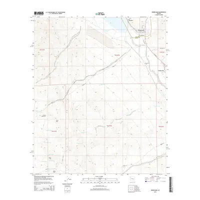
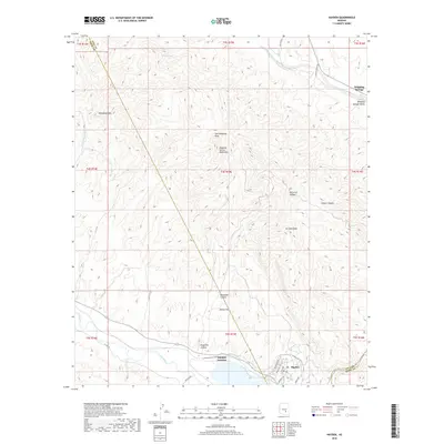
(9)- 2011 Map of Winkelman, 2011 Print
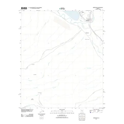 2011 Winkelman2011 Print · USGSCovers Hayden, including Winkelman, Pinal County, and other nearby areas
 - 2011 Map of Hayden, 2011 Print
 2011 Hayden2011 Print · USGSCovers Hayden, including Hayden Junction, Pinal County, and other nearby areas
 - 2014 Map of Hayden, 2014 Print
 2014 Hayden2014 Print · USGSCovers Hayden, including Hayden Junction, Pinal County, and other nearby areas
 - 2014 Map of Winkelman, 2014 Print
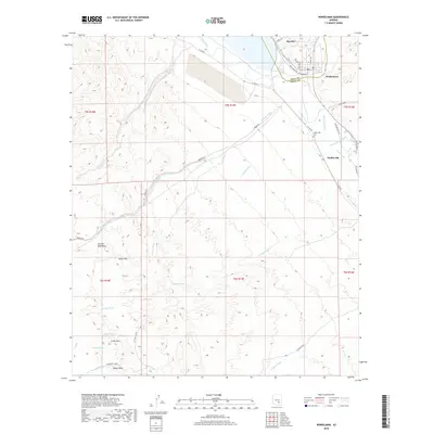
 2014 Winkelman2014 Print · USGSCovers Hayden, including Winkelman, Pinal County, and other nearby areas
 - 2018 Map of Hayden, 2018 Print
 2018 Hayden2018 Print · USGSCovers Hayden, including Hayden Junction, Pinal County, and other nearby areas
 - 2018 Map of Winkelman, 2018 Print
 2018 Winkelman2018 Print · USGSCovers Hayden, including Winkelman, Pinal County, and other nearby areas
 - 2021 Map of Hayden, 2021 Print
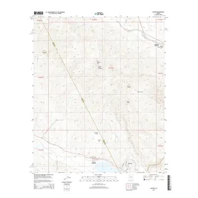
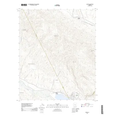
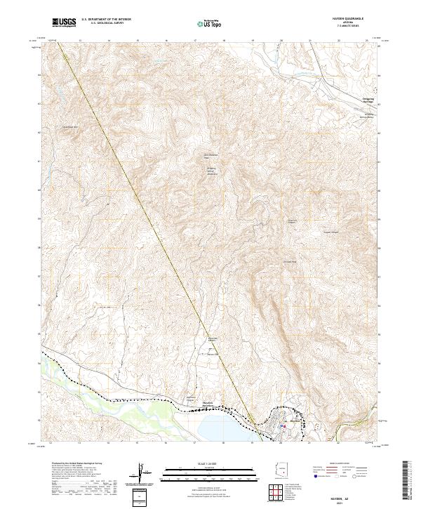 2021 Hayden2021 Print · USGSArizona's copper country comes into focus at the start of the 2020s, centered on the riverfront town of Hayden. Genealogists and researchers can trace the street grid near Hayden Junction or locate landmarks like Tam O'Shanter Peak and Dripping Springs.
 - 2021 Map of Winkelman, 2021 Print
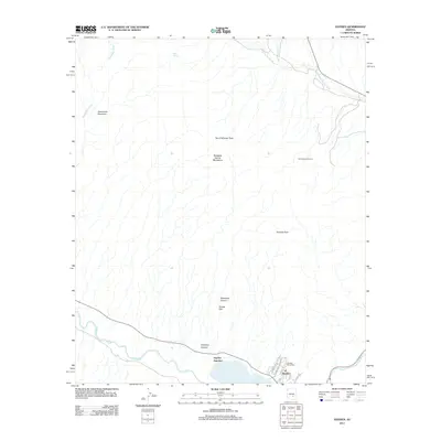
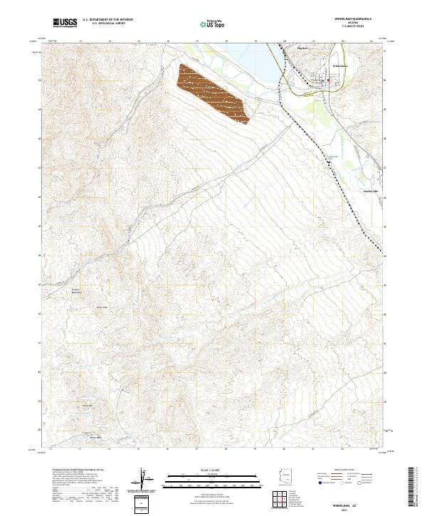 2021 Winkelman2021 Print · USGSThe confluence of the Gila and San Pedro Rivers comes into focus in this contemporary survey of the Hayden-Winkelman area. Researchers can trace the layout of Hayden, find the Dudleyville Cem, and follow drainages like Romero Wash into the Tortilla Mountains.
 - 2026 Map of Hayden, 2026 Print
 2026 Hayden2026 Print · USGSCovers Hayden, including Hayden Junction, Pinal County, and other nearby areas
End of results
Showing maps 1-9 of 9
Top cities near Hayden
Frequently asked questions
- What are the different types of historical maps available for Hayden?
- What is the oldest map of Hayden?
- Where can I purchase historical maps of Hayden for my home or office?
- Where can I download high-res historical maps of Hayden?
- Are there historical topographic maps available for Hayden?
- Is there historical aerial imagery available for Hayden?
- Where are historical maps of Hayden sourced from?