Old Maps of Hayden, Arizona for Metal Detecting
Plan your next treasure hunt with 29 historic maps of Hayden. Find old homesites, ghost towns, trails, and gathering spots that may be lost to time — perfect for identifying promising metal detecting locations.
- Locate forgotten sites: Uncover places like long-lost settlements, abandoned rail lines, or gathering spots.
- Plan better hunts: Use map overlays combined with LiDAR or satellite views to narrow in on historically rich areas.
- Made for detectorists: Thousands of hobbyists use these maps to discover relics, coins, and hidden history.
Use these historic maps to boost your research and find new opportunities beneath the surface of Hayden.
Hayden, AZ maps
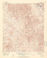
(29)- 1910 Map of Ray
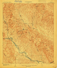 1910 Ray1910 Print · USGSArizona's copper country and Gila River basin are captured here at a peak of early industrial expansion. Genealogy researchers can locate early homesteads like Uncle Dan's Ranch and Winkelman's Ranch, alongside the massive Ray Mine and the Phoenix and Eastern R. R. corridor.3 unique versions available
 - 1911 Map of Winkelman, 1957 Print
 1911 Winkelman1957 Print · USGSThe Pinal and Pima County line comes alive in the 1910s, showing a landscape of mining camps and early ranching. Genealogists and historians can trace the foundations of Mammoth and find long-lost sites like the Finch School, Campo Bonito, and the MAMMOTH MINE.
 - 1913 Map of Winkelman
 1913 Winkelman1913 Print · USGSThe confluence of the Gila and San Pedro rivers in the 1910s reveals a landscape of mining camps and remote ranching outposts. Trace the early industrial footprint of the Mammoth Mine and Oracle or find family landmarks like Finch School and Biddicks Cabin.4 unique versions available
 - 1949 Map of Winkelman, 1960 Print
 1949 Winkelman1960 Print · USGSThe copper-mining and ranching country of southern Arizona comes into focus during the late 1940s at the junction of the Gila and San Pedro Rivers. Trace early industrial footprints and family holdings through the Tailings Pond at Hayden, the Flying UW Ranch, and several abandoned mines.4 unique versions available
 - 1949 Map of Winkelman, 1961 Print
 1949 Winkelman1961 Print · USGSThe copper-rich river valleys of Pinal County are captured here in the late 1940s, centered on the bustling junction of the Gila and San Pedro. Researchers can trace historic ranching and mining operations like Old Silver Queen Mine, Barkerville, and the Tony Lopez Ranch.3 unique versions available
 - 1950 Map of Winkelman
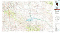
 1950 Winkelman1950 Print · USGSThe confluence of the Gila and San Pedro Rivers comes alive in this mid-century survey of Gila and Pinal Counties. Researchers can trace the industrial footprint of Hayden and Winkelman, or locate remote sites like Antelope Mine and Flying UW Ranch.2 unique versions available
 - 1951 Map of Winkelman
 1951 Winkelman1951 Print · USGSWinkelman and the lower Gila River valley are documented here at mid-century, capturing the intersection of industrial mining and desert ranching. Researchers can trace historic family operations like the Flying UW Ranch and locate old mining claims such as the Ripsey Mine and Silver Queen Mine.2 unique versions available
 - 1954 Map of Mesa, 1968 Print
 1954 Mesa1968 Print · USGSCentral Arizona in the mid-fifties reveals the rapid growth of the Valley of the Sun alongside the deep-rooted mining districts of the eastern mountains. Genealogists and researchers can trace the expansion of Mesa and Chandler or locate legacy operations at Inspiration Mine and the Magma Arizona railroad.4 unique versions available
 - 1956 Map of Tucson, 1967 Print
 1956 Tucson1967 Print · USGSPost-war Southern Arizona comes into focus as the copper and aviation industries expand around Tucson. Trace family roots in South Tucson or locate early mining sites like the San Manuel Mine and Silver Bell Mine near the Santa Cruz River.3 unique versions available
 - 1957 Map of Mesa
 1957 Mesa1957 Print · USGSCentral Arizona's desert valleys and high-mountain mining districts come alive in the mid-fifties. Researchers can trace the early layout of Mesa and Phoenix or locate remote sites like Inspiration Mine and Arizona State College.
 - 1958 Map of Mesa
 1958 Mesa1958 Print · USGSMid-century Arizona comes alive in this survey of the valley and high desert, where urban growth begins to transform the landscape. Genealogists and researchers can trace the rail-and-mine economy through Inspiration Mine and old stops like Rittenhouse and Magma.
 - 1958 Map of Tucson
 1958 Tucson1958 Print · USGSSouthern Arizona in the late fifties reveals a landscape of desert agriculture and rising military aviation. Trace the rail lines of the Southern Pacific or locate the historic San Xavier Del Bac Mission and the Casa Grande Natl Mon.
 - 1959 Map of Tucson
 1959 Tucson1959 Print · USGSSouthern Arizona in the late fifties shows a landscape of military growth and desert industry. Genealogists and historians can trace the footprint of Davis-Monthan Air Force Base and old mining sites like the San Manuel Mine near Mammoth.2 unique versions available
 - 1960 Map of Mesa
 1960 Mesa1960 Print · USGSThe Salt River Valley and Superstition wilderness are captured here during a era of rapid post-war growth. Researchers can trace the mid-century footprints of Williams AF Base and Arizona State College or locate the deep-rock shafts of the Old Dominion Mine and Magma Mine.
 - 1962 Map of Tucson
 1962 Tucson1962 Print · USGSSouthern Arizona in the early sixties showcases a landscape defined by burgeoning desert cities and massive military installations. Researchers can trace tribal settlements like Schuchk, legacy mining sites at Silver Bell Mine, and the early footprint of Davis-Monthan Air Force Base.
 - 1964 Map of Tucson
 1964 Tucson1964 Print · USGSSouthern Arizona in the mid-1960s shows a landscape of burgeoning desert cities and industrial-scale copper mining. Researchers can trace the development of Tucson and its outlying mining districts, including the Silver Bell Mine and San Manuel Mine.
 - 1964 Map of Mesa
 1964 Mesa1964 Print · USGSCentral Arizona in the mid-1960s reveals a landscape defined by rapid desert urbanization and a massive copper mining industry. Genealogists and historians can trace the growth of Phoenix or explore the mining camps and operations at Miami Mine and Magma Mine.
 - 1964 Map of Hayden, 1965 Print
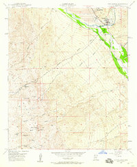
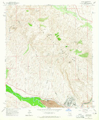 1964 Hayden1965 Print · USGSGila County industrial and mountain landscapes are captured here in the mid-1960s as mining operations dominated the Gila River corridor. Genealogists and industrial historians can trace the rail network of the Southern Pacific serving Hayden and local extraction sites like the 79 Mine or Santa Monica Camp.3 unique versions available
 - 1986 Map of Globe
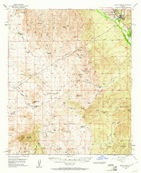
 1986 Globe1986 Print · USGSThe copper districts of Gila County and the lands of the San Carlos Apache are detailed here during the mid-eighties. Researchers can trace the industrial footprint of the Miami Mine, the sprawling San Carlos Reservoir, and small riverside settlements like Bylas and Geronimo.2 unique versions available
 - 1986 Map of Mammoth, 1987 Print
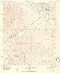
 1986 Mammoth1987 Print · USGSThe copper-rich corridors of Pinal and Graham counties are captured in the mid-1980s as mining towns and mountain wilderness met. Researchers can trace the industrial footprints of the San Manuel Mine and Hayden, alongside landmarks like the Silver Queen Mine and Aravaipa Creek.3 unique versions available
 - 2011 Map of Winkelman, 2011 Print
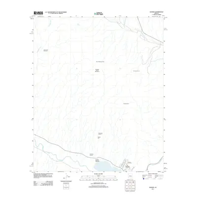
 2011 Winkelman2011 Print · USGSCovers Hayden, including Winkelman, Pinal County, and other nearby areas
 - 2011 Map of Hayden, 2011 Print
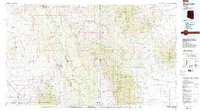
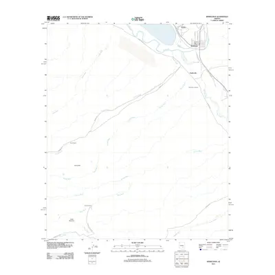
 2011 Hayden2011 Print · USGSCovers Hayden, including Hayden Junction, Pinal County, and other nearby areas
 - 2014 Map of Hayden, 2014 Print
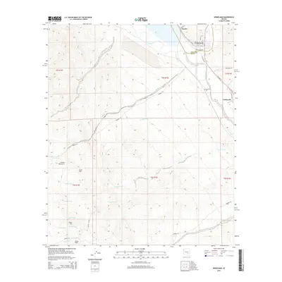
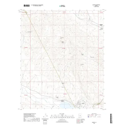
 2014 Hayden2014 Print · USGSCovers Hayden, including Hayden Junction, Pinal County, and other nearby areas
 - 2014 Map of Winkelman, 2014 Print
 2014 Winkelman2014 Print · USGSCovers Hayden, including Winkelman, Pinal County, and other nearby areas
 - 2018 Map of Hayden, 2018 Print
 2018 Hayden2018 Print · USGSCovers Hayden, including Hayden Junction, Pinal County, and other nearby areas
Showing maps 1-25 of 29
Top cities near Hayden
Frequently asked questions
- What are the different types of historical maps available for Hayden?
- What is the oldest map of Hayden?
- Where can I purchase historical maps of Hayden for my home or office?
- Where can I download high-res historical maps of Hayden?
- Are there historical topographic maps available for Hayden?
- Is there historical aerial imagery available for Hayden?
- Where are historical maps of Hayden sourced from?