2000s (21st Century) Maps of Star Valley, Arizona
Explore 22 historic maps of Star Valley from the 2000s (21st Century). These maps offer a rare glimpse into what life looked like during the 2000s — showing old roads, neighborhoods, homes, and landmarks that have changed or disappeared over time.
Whether you're researching your family's past, planning a metal detecting trip, or studying how Star Valley's landscape evolved across the 2000s, these high-resolution maps are a powerful tool for exploring the history of this region.
- Focus on a specific era: All maps on this page are from the 2000s, giving you a focused view of this time period.
- See what’s changed: Compare century-old streets, trails, and buildings to today's modern landscape using overlays and satellite layers.
- Research with precision: Use these maps for genealogy, historical research, land use analysis, or educational projects.
- View, download, or print: Maps are fully viewable online in high resolution, and can be downloaded or printed for your own records.
Start exploring Star Valley's history through authentic maps from the 2000s. This is your window into the past.
Star Valley, AZ maps
(22)- 2004 Map of Diamond Point, 2006 Print
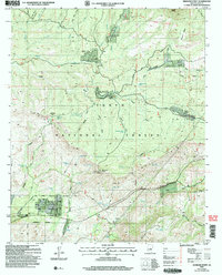 2004 Diamond Point2006 Print · USGSArizona's Mogollon Rim country comes into focus in this early 2000s study of the Tonto National Forest. Genealogists and hikers can trace seasonal settlements like Ellison Creek Summer Homes and historic routes including the Highline National Recreation Trail.
 - 2004 Map of Payson North, 2006 Print
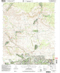 2004 Payson North2006 Print · USGSThe northern edge of Payson and the Verde River valley are captured here at the start of the new millennium. Researchers can locate residential enclaves like Whispering Pines, the Shoofly Indian Ruins, and landmarks along the river such as Water Wheel.
 - 2004 Map of Payson South, 2006 Print
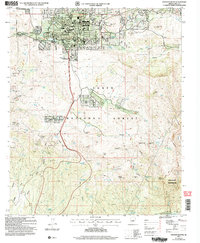 2004 Payson South2006 Print · USGSGila County at the dawn of the millennium shows the town of Payson and the Tonto Indian Reservation during a period of modern growth. Genealogists and historians can trace local families at Payson Cem and locate historic mining sites like the Golden Wonder Mine and Rocky Ford Mine.
 - 2004 Map of McDonald Mountain, 2007 Print
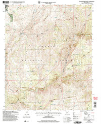 2004 McDonald Mountain2007 Print · USGSGila County's canyon country comes into focus in this mid-2000s survey of the high-desert forest and wilderness. Trace the network of cattle tanks and remote springs including Martin Tank, Lion Spring, and Cottonwood Spring.
 - 2011 Map of Payson South, 2011 Print
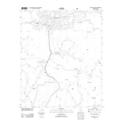 2011 Payson South2011 Print · USGSPayson expanded into the Gila County highlands during the early twenty-first century, balancing town growth with its ranching roots. Researchers can trace the layout of Payson near Fort McDonald, Lacy Airport, and the Payson Cemetery.
 - 2011 Map of Diamond Point, 2011 Print
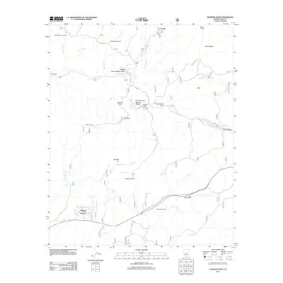 2011 Diamond Point2011 Print · USGSGila County's high country is captured here during the early twenty-first century, showing the intersection of seasonal settlements and cattle ranching history. Researchers can trace property and water rights through features like Pyle Ranch, Tonto Village, and Diamond Point Shadows.
 - 2011 Map of Payson North, 2011 Print
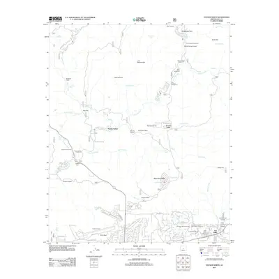 2011 Payson North2011 Print · USGSThe high country north of Payson is captured here in the early twenty-first century as suburban communities and recreation sites expanded into the national forest. Researchers can trace the development of Whispering Pines and Star Valley or locate the Tonto National Forest Seismological Observatory.
 - 2011 Map of McDonald Mountain, 2011 Print
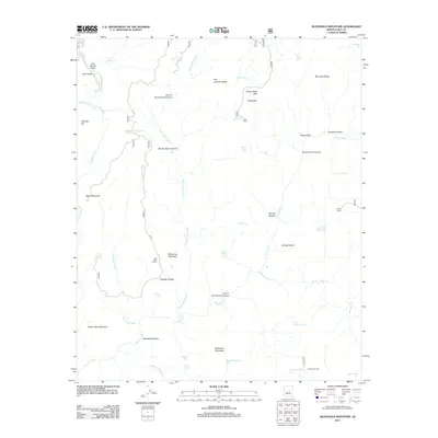 2011 McDonald Mountain2011 Print · USGSGila County's high desert landscape comes into sharp focus during the early twenty-first century, showing the intersection of canyon topography and early ranching sites. Researchers can find old landmarks like the Old Rock House and Neal Cabin tucked between Tonto Creek and the slopes of McDonald Mountain.
 - 2014 Map of McDonald Mountain, 2014 Print
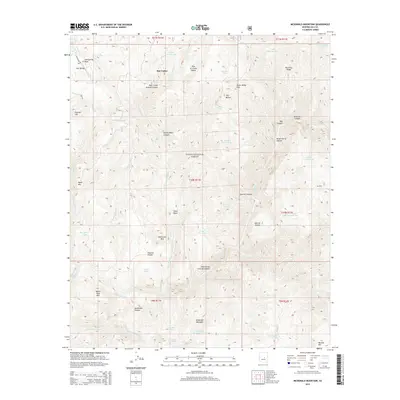 2014 McDonald Mountain2014 Print · USGSGila County settlement and forest boundaries are clearly defined in this mid-2010s study. Genealogists and local historians can trace the development of Star Valley as it borders the northern reaches of the Tonto National Forest.
 - 2014 Map of Payson South, 2014 Print
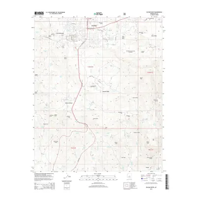 2014 Payson South2014 Print · USGSThe high country around Gila County comes into focus in this early 21st-century record of the transition from settlement to forest. Genealogists and local historians can trace the foundations of the community at the Payson Pioneer Cem, Fort McDonald, and Mtn Meadows Memorial Park.
 - 2014 Map of Payson North, 2014 Print
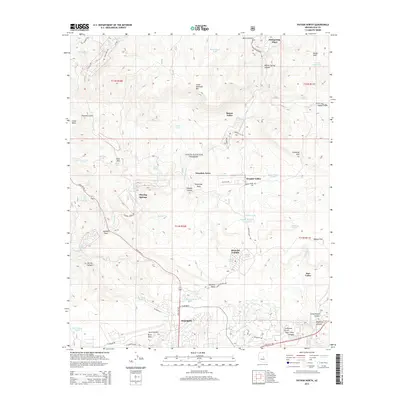 2014 Payson North2014 Print · USGSPayson and the surrounding Gila County highlands are documented here during a period of modern mountain development. Genealogists and local historians can trace the residential growth of Whispering Pines and Star Valley alongside landmarks like Payson Airport and Beaver Valley.
 - 2014 Map of Diamond Point, 2014 Print
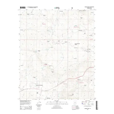 2014 Diamond Point2014 Print · USGSThe Mogollon Rim country near Star Valley is captured here in the early twenty-first century as mountain communities expanded along the highway. Genealogists and hikers can trace the rugged topography of Preacher Canyon, Tonto Village, and the remote Mead Ranch.
 - 2018 Map of Diamond Point, 2018 Print
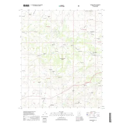 2018 Diamond Point2018 Print · USGSThe high rim country of Gila County is captured here in the late twenty-teens, showing the communities of Star Valley and Tonto Village. Researchers can trace the ranching and timber heritage of the area through sites like Mead Ranch, Schoolhouse Canyon, and Little Green Valley.
 - 2018 Map of Payson North, 2018 Print
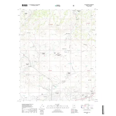 2018 Payson North2018 Print · USGSThe high-desert terrain north of Payson is captured here in the late 2010s, showing the intersection of Tonto National Forest and local settlements. Researchers can trace modern developments like East Verde Estates alongside natural landmarks such as Diamond Rim and the E Verde River.
 - 2018 Map of McDonald Mountain, 2018 Print
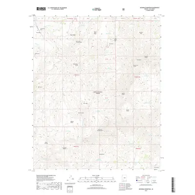 2018 McDonald Mountain2018 Print · USGSGila County's high-country terrain is documented here in the late 2010s, centered on the ranching and forest lands near Star Valley. Researchers can trace old water sources and topographic landmarks like McDonald Mtn, Tonto Basin, and Derrick Pocket.
 - 2018 Map of Payson South, 2018 Print
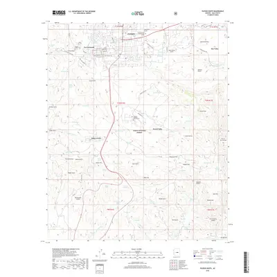 2018 Payson South2018 Print · USGSThe northern edge of the Tonto Basin is captured here in the late 2010s as it transitions from the town of Payson into the rugged canyon country. Local historians can trace family markers at the Payson Pioneer Cem or locate outlying settlements such as Fort McDonald and Oxbow Estates.
 - 2021 Map of Payson North, 2021 Print
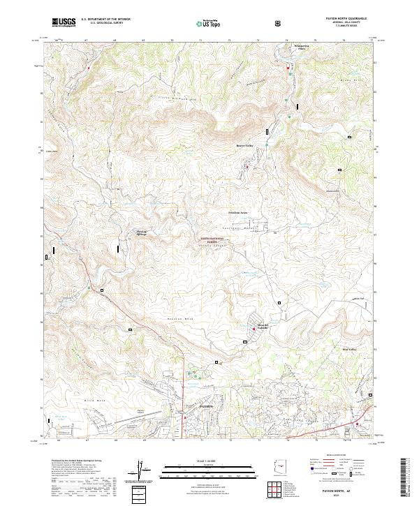 2021 Payson North2021 Print · USGSGila County's high country comes into focus in this recent survey of the settlements along the Mogollon Rim's southern slopes. Researchers can trace the development of mountain communities like Beaver Valley, Mesa del Caballo, and the northern reaches of Payson.
 - 2021 Map of Diamond Point, 2021 Print
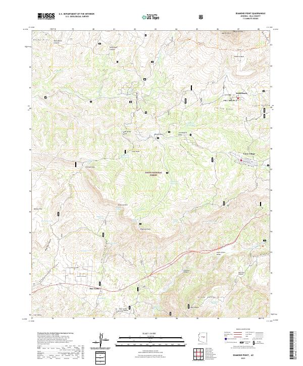 2021 Diamond Point2021 Print · USGSGila County's rugged rim country is documented here in the early 2020s, showing the transition from the high Mogollon Rim to the canyon floor. Local historians can trace the development of Star Valley and Tonto Village or locate remote landmarks like Hells Gate Canyon and the Highline Trail.
 - 2021 Map of McDonald Mountain, 2021 Print
 2021 McDonald Mountain2021 Print · USGSGila County's high-desert peaks and canyons are surveyed here in 2021, centered on the Tonto National Forest. Researchers can trace old livestock gathering points like Houston Pocket and name-specific peaks including Wolverton Mtn and McDonald Mtn.
 - 2021 Map of Payson South, 2021 Print
 2021 Payson South2021 Print · USGSPayson and its surrounding high-country valleys come to life in this contemporary survey of Gila County. Genealogists and local historians can trace family sites at the Payson Pioneer Cem, investigate the grounds of Fort McDonald, and locate landmarks like Monument Peak.
 - 2023 Map of McDonald Mountain, 2023 Print
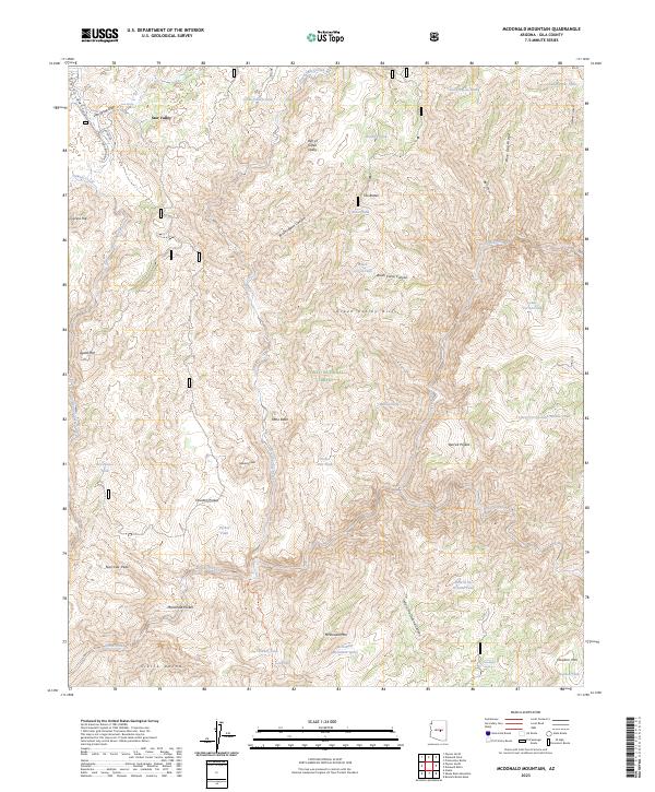 2023 McDonald Mountain2023 Print · USGSThe settlement of Star Valley sits on the edge of the Tonto National Forest in this contemporary study of Gila County. Researchers can trace cattle-country landmarks like Houston Pocket and water sources including Lion Spring and Hole in the Ground Tank.
 - 2023 Map of Payson South, 2023 Print
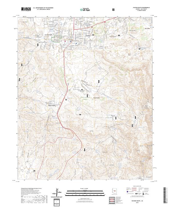 2023 Payson South2023 Print · USGSPayson and the surrounding Gila County uplands are documented here in the early twenty-first century as the community expands into the forest. Researchers can locate local landmarks like the Payson Pioneer Cem, Fort McDonald, and the Oxbow Estates settlement.
End of results
Showing maps 1-22 of 22
Top cities near Star Valley
Frequently asked questions
- What are the different types of historical maps available for Star Valley?
- What is the oldest map of Star Valley?
- Where can I purchase historical maps of Star Valley for my home or office?
- Where can I download high-res historical maps of Star Valley?
- Are there historical topographic maps available for Star Valley?
- Is there historical aerial imagery available for Star Valley?
- Where are historical maps of Star Valley sourced from?