Old Maps of Ehrenberg, Arizona for Hiking & Exploration
Hike through history with 13 historic maps of Ehrenberg. Explore old trails, ghost towns, and forgotten backroads — perfect for outdoor adventurers and local explorers.
- Rediscover forgotten places: Map out old mining camps, roads, and footpaths that no longer exist on modern maps.
- Layer with modern tools: Combine with LiDAR or satellite views to plan hikes through historical terrain.
- Made for exploration: Popular among hikers, overlanders, and local history lovers.
Use these maps to find adventure and explore the hidden past of Ehrenberg.
Ehrenberg, AZ maps
(13)- 1942 Map of Blythe
 1942 Blythe1942 Print · USGSThe Lower Colorado River valley appears here in the early 1940s, showcasing the agricultural development of the Palo Verde Mesa alongside a booming mining industry. Researchers can locate remote desert outposts and extraction sites like Midland, the U S Gypsum Mine, and Nortons Landing.2 unique versions available
 - 1951 Map of Blythe, 1952 Print
 1951 Blythe1952 Print · USGSThe Palo Verde Valley thrives as a desert agricultural hub in the early fifties, anchored by the river and the rail. Genealogists can trace the early footprints of Blythe and Ehrenberg, while researchers can follow the Atchison Topeka and Santa Fe line and the intricate levees of the Colorado River.6 unique versions available
 - 1954 Map of Salton Sea
 1954 Salton Sea1954 Print · USGSThe Colorado River and Imperial Valley desert frontiers are captured here in the 1950s. Trace the irrigation networks of Calipatria and mining sites like Eagle Mountain Mine.
 - 1955 Map of Salton Sea
 1955 Salton Sea1955 Print · USGSThe Colorado River and Imperial Valley desert basins appear here during the mid-fifties, revealing a landscape of remote mines and agricultural irrigation. Genealogists and researchers can trace locations like the Parker Alien Reception Center Unit No 1, Blythe, and the Kane Springs School.2 unique versions available
 - 1959 Map of Salton Sea, 1968 Print
 1959 Salton Sea1968 Print · USGSThe Colorado River and Salton Sea basin are shown here during a decade of intense military and agricultural activity. Trace family roots in Blythe or Niland, and locate historical mining operations like the Eagle Mountain Mine and Red Cloud Mine.4 unique versions available
 - 1963 Map of Salton Sea
 1963 Salton Sea1963 Print · USGSThe Colorado Desert during the early sixties shows a landscape defined by massive water projects and Cold War military ranges. Trace the growth of Salton City and Brawley, or locate remote desert outposts like the Paymaster Mine and Desert Center.
 - 1965 Map of Salton Sea
 1965 Salton Sea1965 Print · USGSThe Colorado Desert and Imperial Valley are caught in a period of intense irrigation and military expansion during the mid-sixties. Researchers can trace the desert's industrial footprint through the Eagle Mountain Mine, the remote Desert Center, and the Salton Sea Test Base.
 - 1970 Map of Blythe, 1975 Print
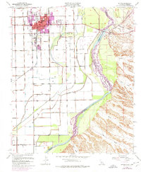 1970 Blythe1975 Print · USGSThe Colorado River valley transitioned into a modern agricultural and transit hub during the early seventies. Genealogists and local historians can trace the growth of Blythe and Ehrenberg near the Ehrenberg Cemetery and the vital Palo Verde Intake.
 - 1986 Map of Blythe
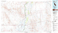 1986 Blythe1986 Print · USGSThe Colorado River valley at the California and Arizona border in the mid-1980s shows a landscape of intensive desert farming and remote mining. Trace the rail lines of the Atchison Topeka and Santa Fe or locate historical workings like the Arlington Mine and Victor Mine.3 unique versions available
 - 2012 Map of Blythe, 2012 Print
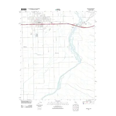 2012 Blythe2012 Print · USGSBlythe and the Colorado River crossing are shown in detail during the early twenty-first century as the region balanced agriculture and desert recreation. Researchers can trace the complex irrigation system of the D CANAL and locate family landmarks such as Miller Farms.
 - 2015 Map of Blythe, 2015 Print
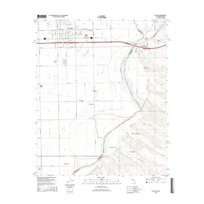 2015 Blythe2015 Print · USGSBlythe and the Palo Verde Valley are shown in the mid-2010s as a thriving agricultural hub on the California-Arizona border. Researchers can trace the intricate irrigation network of the C Canal and Hauser Drain or locate landmarks like Cyr Aviation Airport and Miller Farms.
 - 2018 Map of Blythe, 2018 Print
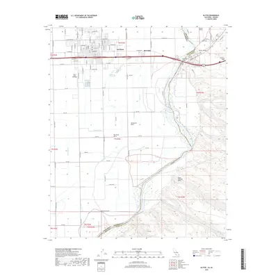 2018 Blythe2018 Print · USGSThe Colorado River borderlands in the late 2010s show a highly engineered agricultural landscape between California and Arizona. Researchers can trace the intricate irrigation network through Deepwater Bend or locate regional aviation sites like the Morris Ag Air SW Airport.
 - 2021 Map of Blythe, 2021 Print
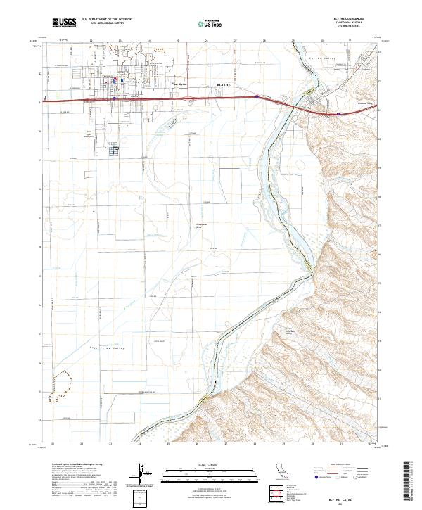 2021 Blythe2021 Print · USGSThe Colorado River borderlands in the early 2020s reveal a landscape of desert irrigation and civic growth. Trace the valley's development from the Blythe Courthouse to the remote reaches of Goodman Slough and Cinnabar Wash.
End of results
Showing maps 1-13 of 13
Top cities near Ehrenberg
Frequently asked questions
- What are the different types of historical maps available for Ehrenberg?
- What is the oldest map of Ehrenberg?
- Where can I purchase historical maps of Ehrenberg for my home or office?
- Where can I download high-res historical maps of Ehrenberg?
- Are there historical topographic maps available for Ehrenberg?
- Is there historical aerial imagery available for Ehrenberg?
- Where are historical maps of Ehrenberg sourced from?