2000s (21st Century) Maps of Fort McDowell, Arizona
Explore 5 historic maps of Fort McDowell from the 2000s (21st Century). These maps offer a rare glimpse into what life looked like during the 2000s — showing old roads, neighborhoods, homes, and landmarks that have changed or disappeared over time.
Whether you're researching your family's past, planning a metal detecting trip, or studying how Fort McDowell's landscape evolved across the 2000s, these high-resolution maps are a powerful tool for exploring the history of this region.
- Focus on a specific era: All maps on this page are from the 2000s, giving you a focused view of this time period.
- See what’s changed: Compare century-old streets, trails, and buildings to today's modern landscape using overlays and satellite layers.
- Research with precision: Use these maps for genealogy, historical research, land use analysis, or educational projects.
- View, download, or print: Maps are fully viewable online in high resolution, and can be downloaded or printed for your own records.
Start exploring Fort McDowell's history through authentic maps from the 2000s. This is your window into the past.
Fort McDowell, AZ maps
(5)- 2004 Map of Fort McDowell, 2007 Print
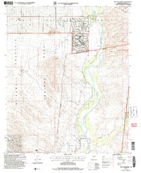 2004 Fort McDowell2007 Print · USGSMaricopa County's desert river valley is captured here in the early 2000s as suburban expansion met tribal and protected lands. Trace the Verde River through the Fort McDowell Indian Reservation Boundary past Rio Verde Estates and the historic Fort McDowell Site.
 - 2011 Map of Fort McDowell, 2011 Print
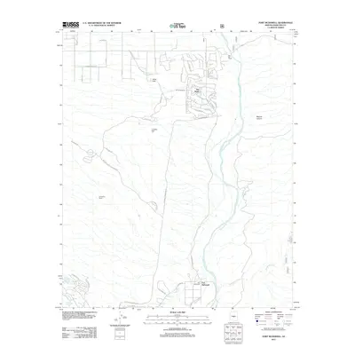 2011 Fort McDowell2011 Print · USGSCovers Fort McDowell, including Fountain Hills, Rio Verde, and other nearby areas
 - 2014 Map of Fort McDowell, 2014 Print
 2014 Fort McDowell2014 Print · USGSCovers Fort McDowell, including Fountain Hills, Rio Verde, and other nearby areas
 - 2018 Map of Fort McDowell, 2018 Print
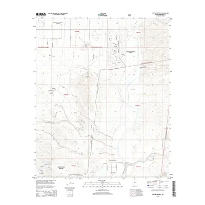
 2018 Fort McDowell2018 Print · USGSCovers Fort McDowell, including Fountain Hills, Rio Verde, and other nearby areas
 - 2021 Map of Fort McDowell, 2021 Print
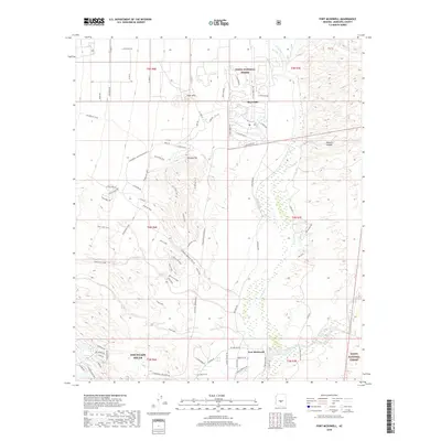
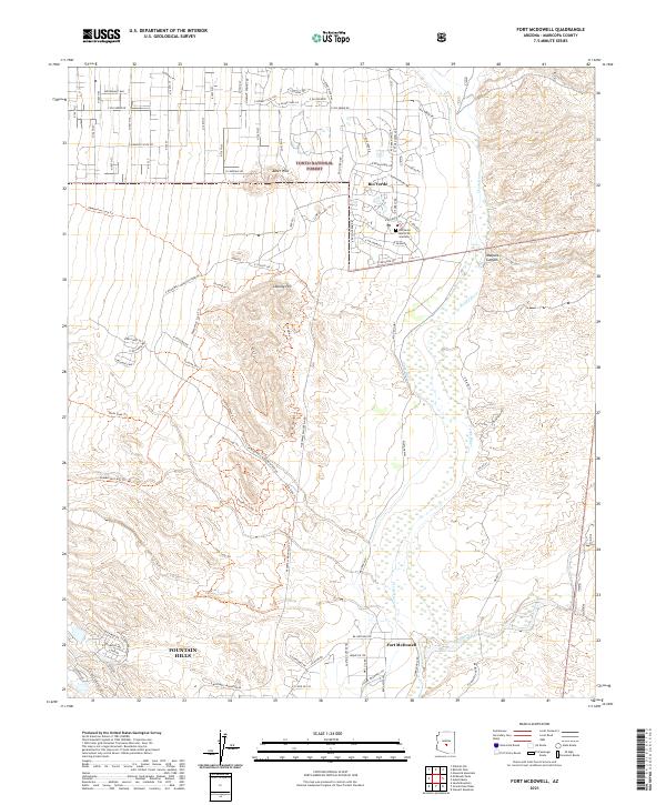 2021 Fort McDowell2021 Print · USGSThe Verde River valley near Fort McDowell comes into focus in this contemporary survey of the high desert. Trace the expanding residential footprints of Rio Verde and Fountain Hills alongside landmarks like Lousley Hill and Sycamore Cr.
End of results
Showing maps 1-5 of 5
Top cities near Fort McDowell
- Mesa historical maps
- Scottsdale historical maps
- Tempe historical maps
- Apache Junction historical maps
- Fountain Hills historical maps
- Carefree historical maps
See more
Frequently asked questions
- What are the different types of historical maps available for Fort McDowell?
- What is the oldest map of Fort McDowell?
- Where can I purchase historical maps of Fort McDowell for my home or office?
- Where can I download high-res historical maps of Fort McDowell?
- Are there historical topographic maps available for Fort McDowell?
- Is there historical aerial imagery available for Fort McDowell?
- Where are historical maps of Fort McDowell sourced from?