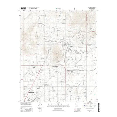
Old Maps of Carefree, Arizona
Explore 20 old maps of Carefree, spanning from 1930 to today. These high-resolution historic maps reveal how streets, neighborhoods, landmarks, and natural features evolved over time — perfect for genealogy, metal detecting, research, and local history exploration.
What you can do with these maps:
- See how Carefree changed over time: Compare historical maps to modern-day views to trace roads, homesites, rail lines & more.
- View detailed metadata: Each map includes creators, publishers, year, scale, and archive source.
- Overlay maps with satellite & LiDAR: Visualize the past alongside modern tools to explore terrain & human change.
- Trusted historical sources: Maps sourced from the USGS, Library of Congress, and other archives.
- Access maps your way: View online, download high-res files, or order prints for personal or research use.
Start exploring old maps of Carefree to uncover forgotten places, hidden landmarks, and the deep history beneath your feet.
Carefree, AZ maps
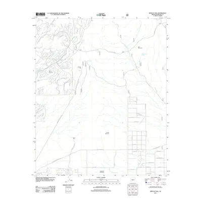
(20)- 1930 Map of Cave Creek, 1959 Print
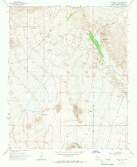
 1930 Cave Creek1959 Print · USGSThe Cave Creek and Verde River backcountry comes alive in this survey from the era of guest ranches and remote outposts. Researchers can locate early family homesteads like Lewis Ranch, trace the route to the Mormon Girl Mine, or find the original Spur Cross Dude Ranch.2 unique versions available
 - 1939 Map of Cave Creek
 1939 Cave Creek1939 Print · USGSThe Cave Creek area in the late thirties is a landscape of working cattle ranches and early desert tourism. Genealogists and historians can trace family-named outposts like Sears Kay Ranch and Browns Ranch or the historic Mormon Girl Mine.3 unique versions available
 - 1954 Map of Mesa, 1968 Print
 1954 Mesa1968 Print · USGSCentral Arizona in the mid-fifties reveals the rapid growth of the Valley of the Sun alongside the deep-rooted mining districts of the eastern mountains. Genealogists and researchers can trace the expansion of Mesa and Chandler or locate legacy operations at Inspiration Mine and the Magma Arizona railroad.4 unique versions available
 - 1957 Map of Mesa
 1957 Mesa1957 Print · USGSCentral Arizona's desert valleys and high-mountain mining districts come alive in the mid-fifties. Researchers can trace the early layout of Mesa and Phoenix or locate remote sites like Inspiration Mine and Arizona State College.
 - 1958 Map of Mesa
 1958 Mesa1958 Print · USGSMid-century Arizona comes alive in this survey of the valley and high desert, where urban growth begins to transform the landscape. Genealogists and researchers can trace the rail-and-mine economy through Inspiration Mine and old stops like Rittenhouse and Magma.
 - 1960 Map of Mesa
 1960 Mesa1960 Print · USGSThe Salt River Valley and Superstition wilderness are captured here during a era of rapid post-war growth. Researchers can trace the mid-century footprints of Williams AF Base and Arizona State College or locate the deep-rock shafts of the Old Dominion Mine and Magma Mine.
 - 1964 Map of Mesa
 1964 Mesa1964 Print · USGSCentral Arizona in the mid-1960s reveals a landscape defined by rapid desert urbanization and a massive copper mining industry. Genealogists and historians can trace the growth of Phoenix or explore the mining camps and operations at Miami Mine and Magma Mine.
 - 1965 Map of Wildcat Hill, 1967 Print
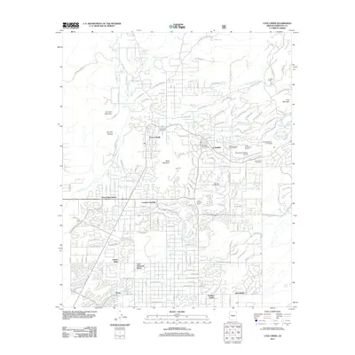
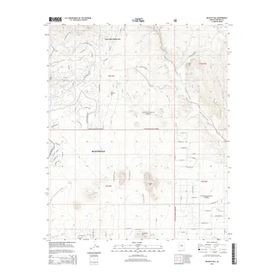
 1965 Wildcat Hill1967 Print · USGSMaricopa County during the mid-1960s was still a frontier of cattle ranching and desert exploration. History hunters can trace the layout of Browns Ranch, locate remote watering holes like Bootlegger Tank, and follow old jeep trails into the Tonto National Forest.3 unique versions available
 - 1965 Map of Cave Creek, 1967 Print
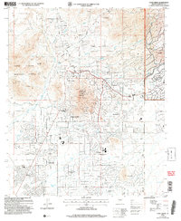
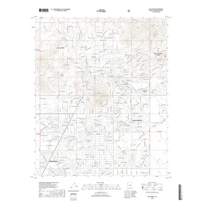
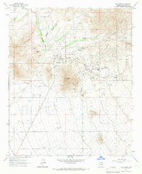 1965 Cave Creek1967 Print · USGSMid-century growth meets old Arizona mining heritage in the desert north of Phoenix. Trace the expansion of Carefree and Cave Creek alongside historic sites like the Mormon Girl Mine, Cave Creek Cemetery, and the Carefree Airfield.3 unique versions available
 - 1994 Map of Theodore Roosevelt Lake, 1995 Print
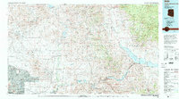 1994 Theodore Roosevelt Lake1995 Print · USGSCentral Arizona in the early nineties reveals the sprawling growth of the Valley of the Sun against the high desert wilderness. Researchers can trace the development of Scottsdale and Carefree or locate remote outposts like Sunflower and Punkin Center near the Mazatzal Wilderness.3 unique versions available
 - 2004 Map of Wildcat Hill, 2007 Print
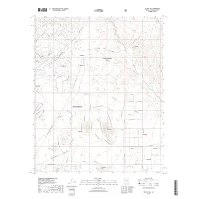
 2004 Wildcat Hill2007 Print · USGSThe high desert of Maricopa County is captured here in the early 2000s, showing the intersection of ranching history and modern recreation. Researchers can trace the layout of Browns Ranch and Cave Creek, or locate landmarks like Wildcat Hill and Bootlegger Tank.
 - 2004 Map of Cave Creek, 2007 Print
 2004 Cave Creek2007 Print · USGSThe northern reaches of the Phoenix valley are captured here at the turn of the millennium, showing a unique mix of high-desert residential growth and historic mining sites. Trace the layout of early-2000s developments like Tatum Ranch alongside older markers like the Mormon Girl Mine and Cave Creek Cemetery.
 - 2011 Map of Cave Creek, 2011 Print
 2011 Cave Creek2011 Print · USGSCovers Carefree, including Phoenix, Scottsdale, and other nearby areas
 - 2011 Map of Wildcat Hill, 2011 Print
 2011 Wildcat Hill2011 Print · USGSCovers Carefree, including Scottsdale, Maricopa County, and other nearby areas
 - 2014 Map of Cave Creek, 2014 Print
 2014 Cave Creek2014 Print · USGSCovers Carefree, including Phoenix, Scottsdale, and other nearby areas
 - 2014 Map of Wildcat Hill, 2014 Print
 2014 Wildcat Hill2014 Print · USGSCovers Carefree, including Scottsdale, Maricopa County, and other nearby areas
 - 2018 Map of Cave Creek, 2018 Print
 2018 Cave Creek2018 Print · USGSCovers Carefree, including Phoenix, Scottsdale, and other nearby areas
 - 2018 Map of Wildcat Hill, 2018 Print
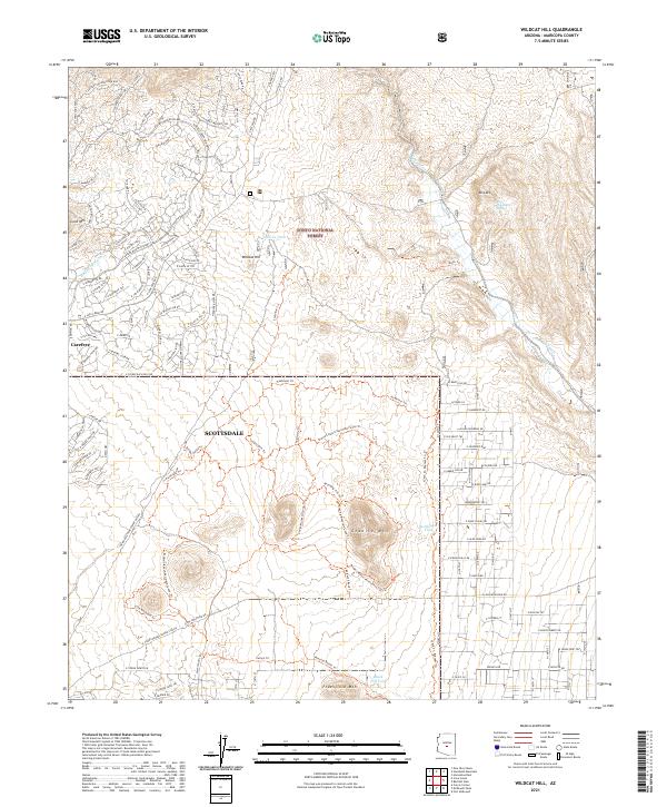
 2018 Wildcat Hill2018 Print · USGSCovers Carefree, including Scottsdale, Maricopa County, and other nearby areas
 - 2021 Map of Wildcat Hill, 2021 Print
 2021 Wildcat Hill2021 Print · USGSUpper Sonoran desert landscapes meet the northward expansion of the Phoenix valley in this recent 2021 survey. Researchers can trace modern residential development alongside prominent local peaks like Granite Mtn and historical water sources such as Bootlegger Tank.
 - 2021 Map of Cave Creek, 2021 Print
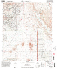
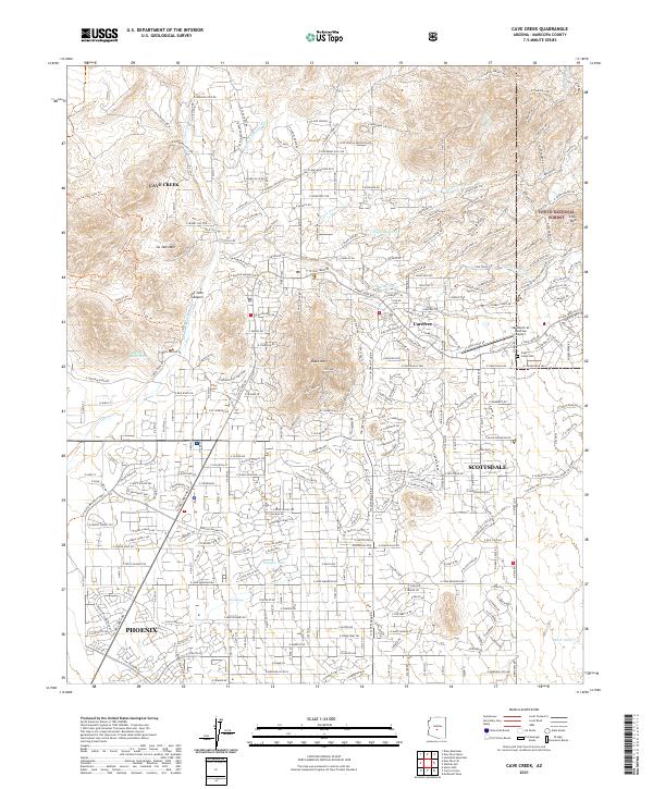 2021 Cave Creek2021 Print · USGSCave Creek and Carefree are shown in the early twenty-first century as suburban growth reaches the edge of the Tonto National Forest. Researchers can trace the modern development of these desert communities through landmarks like the Sky Ranch at Carefree Airport and the Cave Creek Cem.
End of results
Showing maps 1-20 of 20
Top cities near Carefree
- Phoenix historical maps
- Scottsdale historical maps
- Fountain Hills historical maps
- Anthem historical maps
- Cave Creek historical maps
Frequently asked questions
- What are the different types of historical maps available for Carefree?
- What is the oldest map of Carefree?
- Where can I purchase historical maps of Carefree for my home or office?
- Where can I download high-res historical maps of Carefree?
- Are there historical topographic maps available for Carefree?
- Is there historical aerial imagery available for Carefree?
- Where are historical maps of Carefree sourced from?