Old Maps of Horse Mesa, Arizona for Metal Detecting
Plan your next treasure hunt with 15 historic maps of Horse Mesa. Find old homesites, ghost towns, trails, and gathering spots that may be lost to time — perfect for identifying promising metal detecting locations.
- Locate forgotten sites: Uncover places like long-lost settlements, abandoned rail lines, or gathering spots.
- Plan better hunts: Use map overlays combined with LiDAR or satellite views to narrow in on historically rich areas.
- Made for detectorists: Thousands of hobbyists use these maps to discover relics, coins, and hidden history.
Use these historic maps to boost your research and find new opportunities beneath the surface of Horse Mesa.
Horse Mesa, AZ maps
(15)- 1907 Map of Roosevelt, 1956 Print
 1907 Roosevelt1956 Print · USGSCentral Arizona at the birth of the reclamation era centers on the engineering of the Roosevelt Dam and the waters of the Salt River. Genealogists and historians can trace numerous early family holdings like Clanton's Ranch, the stage stop at Schells Station, and the remote settlement of Apacheria.2 unique versions available
 - 1909 Map of Four Peaks
 1909 Four Peaks1909 Print · USGSThe central Arizona wilderness at the start of the century reveals a land of isolated ranching outposts and rugged mountain passes. Researchers can trace the early cattle frontier at Sunflower Ranch, find the original Mormon Flats, and locate the historic Schells Station.2 unique versions available
 - 1912 Map of Roosevelt
 1912 Roosevelt1912 Print · USGSCentral Arizona is captured here during the transformative years following the completion of the Roosevelt Dam. You can trace early ranching homesteads such as Clines Ranch and Howell's Ranch or locate the site of Schell's Station.4 unique versions available
 - 1954 Map of Mesa, 1968 Print
 1954 Mesa1968 Print · USGSCentral Arizona in the mid-fifties reveals the rapid growth of the Valley of the Sun alongside the deep-rooted mining districts of the eastern mountains. Genealogists and researchers can trace the expansion of Mesa and Chandler or locate legacy operations at Inspiration Mine and the Magma Arizona railroad.4 unique versions available
 - 1957 Map of Mesa
 1957 Mesa1957 Print · USGSCentral Arizona's desert valleys and high-mountain mining districts come alive in the mid-fifties. Researchers can trace the early layout of Mesa and Phoenix or locate remote sites like Inspiration Mine and Arizona State College.
 - 1958 Map of Mesa
 1958 Mesa1958 Print · USGSMid-century Arizona comes alive in this survey of the valley and high desert, where urban growth begins to transform the landscape. Genealogists and researchers can trace the rail-and-mine economy through Inspiration Mine and old stops like Rittenhouse and Magma.
 - 1960 Map of Mesa
 1960 Mesa1960 Print · USGSThe Salt River Valley and Superstition wilderness are captured here during a era of rapid post-war growth. Researchers can trace the mid-century footprints of Williams AF Base and Arizona State College or locate the deep-rock shafts of the Old Dominion Mine and Magma Mine.
 - 1964 Map of Mesa
 1964 Mesa1964 Print · USGSCentral Arizona in the mid-1960s reveals a landscape defined by rapid desert urbanization and a massive copper mining industry. Genealogists and historians can trace the growth of Phoenix or explore the mining camps and operations at Miami Mine and Magma Mine.
 - 1964 Map of Horse Mesa Dam, 1965 Print
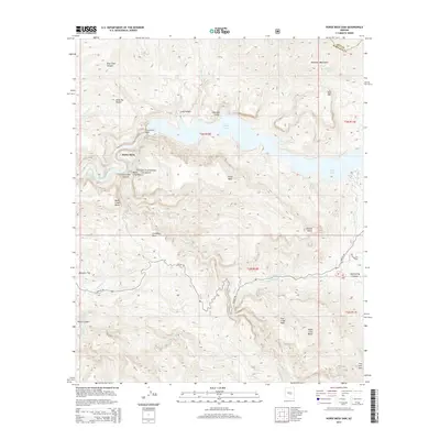
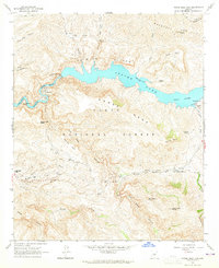 1964 Horse Mesa Dam1965 Print · USGSThe Salt River canyon in the early 1960s reveals a landscape of high-desert engineering and remote wilderness. Trace the infrastructure of Apache Lake and find historic sites like Adams Camp, Browns Cave, and the Painted Cliffs.5 unique versions available
 - 1994 Map of Theodore Roosevelt Lake, 1995 Print
 1994 Theodore Roosevelt Lake1995 Print · USGSCentral Arizona in the early nineties reveals the sprawling growth of the Valley of the Sun against the high desert wilderness. Researchers can trace the development of Scottsdale and Carefree or locate remote outposts like Sunflower and Punkin Center near the Mazatzal Wilderness.3 unique versions available
 - 2004 Map of Horse Mesa Dam, 2007 Print
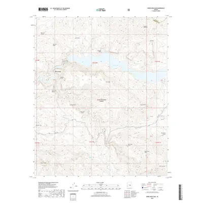
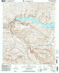 2004 Horse Mesa Dam2007 Print · USGSCentral Arizona's canyon country comes alive in this survey of the Salt River's dammed waters. Trace the rugged terrain from Horse Mesa Dam to the Apache Lake Resort and the remote Four Peaks Wilderness.
 - 2011 Map of Horse Mesa Dam, 2011 Print
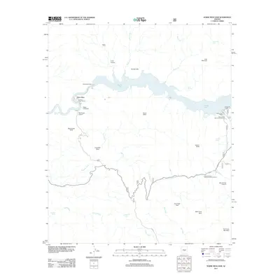 2011 Horse Mesa Dam2011 Print · USGSCovers Horse Mesa, including Maricopa County, Gila County, and other nearby areas
 - 2014 Map of Horse Mesa Dam, 2014 Print
 2014 Horse Mesa Dam2014 Print · USGSCovers Horse Mesa, including Maricopa County, Gila County, and other nearby areas
 - 2018 Map of Horse Mesa Dam, 2018 Print
 2018 Horse Mesa Dam2018 Print · USGSCovers Horse Mesa, including Maricopa County, Gila County, and other nearby areas
 - 2021 Map of Horse Mesa Dam, 2021 Print
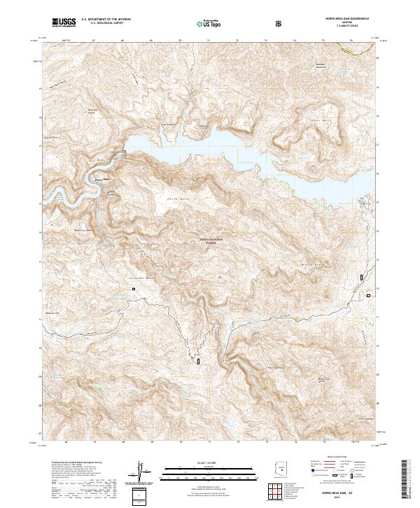 2021 Horse Mesa Dam2021 Print · USGSThe desert landscape surrounding the Salt River and its canyons is captured here in the modern era. Researchers can trace the winding Apache Trl and locate remote water sources such as Indian Spring and Hells Hole Spring.
End of results
Showing maps 1-15 of 15
Top cities near Horse Mesa
Frequently asked questions
- What are the different types of historical maps available for Horse Mesa?
- What is the oldest map of Horse Mesa?
- Where can I purchase historical maps of Horse Mesa for my home or office?
- Where can I download high-res historical maps of Horse Mesa?
- Are there historical topographic maps available for Horse Mesa?
- Is there historical aerial imagery available for Horse Mesa?
- Where are historical maps of Horse Mesa sourced from?