Old Maps of Kykotsmovi Village, Arizona for Metal Detecting
Plan your next treasure hunt with 29 historic maps of Kykotsmovi Village. Find old homesites, ghost towns, trails, and gathering spots that may be lost to time — perfect for identifying promising metal detecting locations.
- Locate forgotten sites: Uncover places like long-lost settlements, abandoned rail lines, or gathering spots.
- Plan better hunts: Use map overlays combined with LiDAR or satellite views to narrow in on historically rich areas.
- Made for detectorists: Thousands of hobbyists use these maps to discover relics, coins, and hidden history.
Use these historic maps to boost your research and find new opportunities beneath the surface of Kykotsmovi Village.
Kykotsmovi Village, AZ maps
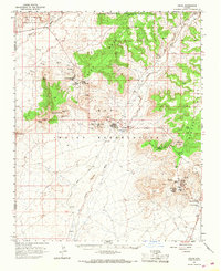
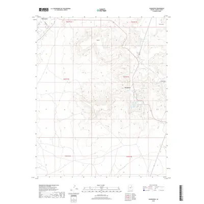
(29)- 1883 Map of Tusayan, 1896 Print
 1883 Tusayan1896 Print · USGSNortheastern Arizona's high desert was entering a period of rapid transition in the 1880s as traditional Hopi life met the expansion of the rail system. Genealogists and historians can trace the foundations of Winslow or explore ancient villages like Oraibi and Walpi.
 - 1886 Map of Tusayan
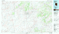
 1886 Tusayan1886 Print · USGSArizona's high desert during the 1880s reveals a unique meeting of ancient mesa villages and the advancing rail line. Genealogists and historians can trace mesa settlements like Wolpi and Oraibi or early rail towns including Brigham City and Winslow.5 unique versions available
 - 1947 Map of Flagstaff, 1948 Print
 1947 Flagstaff1948 Print · USGSThe Arizona high country and the Painted Desert converge in this post-war survey. Researchers can trace the ancient mesa villages of Walpi and Oraibi, the early roads of Flagstaff, and landmarks like Sunset Crater National Monument.2 unique versions available
 - 1954 Map of Flagstaff, 1966 Print
 1954 Flagstaff1966 Print · USGSNorthern Arizona in the mid-fifties shows a landscape of volcanic peaks and ancestral mesa villages linked by the iconic U.S. 66. Trace the path of the Atchison Topeka and Santa Fe through Winslow or explore the settlements of Old Oraibi and Kearns Canyon.3 unique versions available
 - 1958 Map of Flagstaff
 1958 Flagstaff1958 Print · USGSNorthern Arizona in the late fifties is captured here during the heyday of Route 66 and the expansion of the high desert rail corridors. Researchers can trace historic mesa settlements like Old Oraibi or follow the path of the Atchison Topeka and Santa Fe through Flagstaff and Winslow.
 - 1960 Map of Flagstaff
 1960 Flagstaff1960 Print · USGSNorthern Arizona at the dawn of the sixties shows a landscape defined by mesa-top Hopi villages and the burgeoning railroad hub of Flagstaff. Trace the path of U.S. 66 past Meteor Crater or locate historic trading posts like Gray Mountain Trading Post.2 unique versions available
 - 1962 Map of Flagstaff
 1962 Flagstaff1962 Print · USGSNorthern Arizona in the early sixties showcases the intersection of Tribal lands, national forests, and the busy Route 66 corridor. Trace historic roadside stops and landmarks like Meteor Crater, the Buck-Rodgers Trading Post, and the ancient village of Old Oraibi.
 - 1966 Map of Oraibi, 1968 Print
 1966 Oraibi1968 Print · USGSThe Hopi mesas are captured in detail during the mid-1960s, showing the enduring village sites and seasonal water sources of this high desert landscape. Genealogists and historians can trace the paths between Old Oraibi, Bacabi, and ancestral locations like Po Ni Vi.2 unique versions available
 - 1982 Map of Polacca, 1983 Print
 1982 Polacca1983 Print · USGSTraditional villages on the high mesas of the Colorado Plateau are documented here during the early eighties. Genealogists and historians can locate ancient settlements like Old Oraibi and Walpi, or trace water sources such as Bluebird Spring and Sunlight Mission.2 unique versions available
 - 1991 Map of Shungopavi
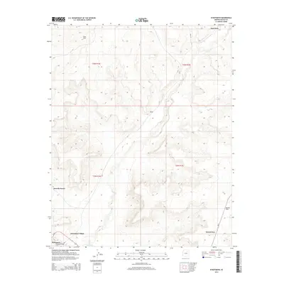
 1991 Shungopavi1991 Print · USGSThe high mesas of the Hopi Indian Reservation are documented here in the early nineties, centered on the ancient village of Shungopavi. Genealogists and historians can locate numerous named water sources like Stinkbug Spring and Brownrock Spring used by residents of Second Mesa.
 - 1991 Map of Kykotsmovi
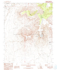
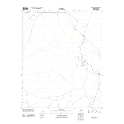
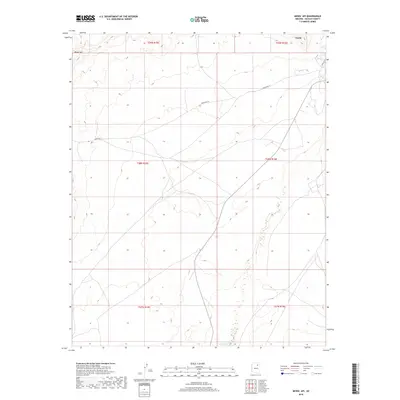
 1991 Kykotsmovi1991 Print · USGSThe Hopi heartland on the high mesas of northern Arizona is meticulously documented in this early nineties survey. Genealogists and historians can locate specific villages such as Kykotsmovi and Mungyaovi or trace the levee system along the Oraibi Wash.
 - 1991 Map of Mowa'api
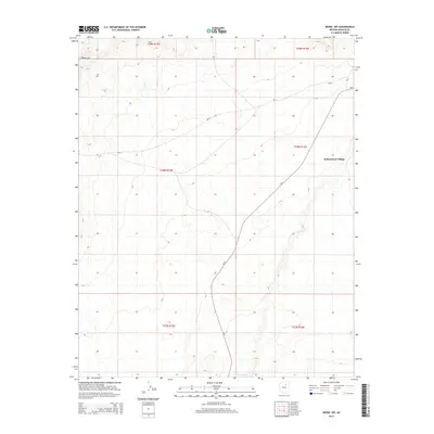
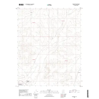
 1991 Mowa'api1991 Print · USGSHigh desert terrain within the Hopi Indian Reservation is captured here during the late twentieth century. Researchers can trace land management efforts like the Check Dams along the Oraibi Wash or locate the settlement of Mowa'api.
 - 1991 Map of Hotevilla
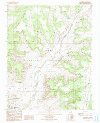
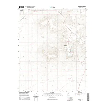
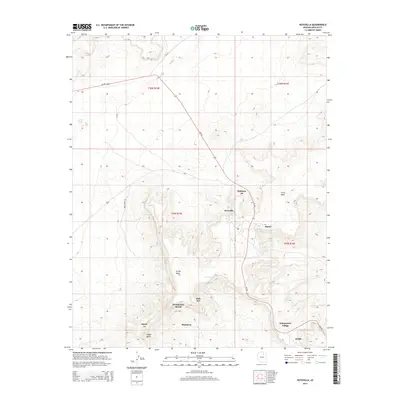
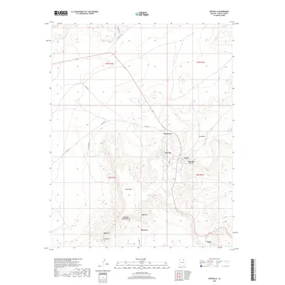
 1991 Hotevilla1991 Print · USGSTraditional Hopi villages sit atop high mesas in the early nineties, revealing a landscape of ancient settlements and desert springs. Researchers can trace the layout of Hotevilla, locate the Tug-of-War Historical Marker, and find Hotevilla Spring.
 - 2011 Map of Mowaapi, 2011 Print
 2011 Mowaapi2011 Print · USGSCovers Kykotsmovi Village, including Navajo County, United States, and other nearby areas
 - 2011 Map of Hotevilla, 2011 Print
 2011 Hotevilla2011 Print · USGSCovers Kykotsmovi Village, including Aponi-vi, Mahtson-pi, and other nearby areas
 - 2011 Map of Kykotsmovi, 2011 Print
 2011 Kykotsmovi2011 Print · USGSCovers Kykotsmovi Village, including Kykotsmovi, Navajo County, and other nearby areas
 - 2011 Map of Shungopavi, 2011 Print
 2011 Shungopavi2011 Print · USGSCovers Kykotsmovi Village, including Shungopavi, Navajo County, and other nearby areas
 - 2014 Map of Mowaapi, 2014 Print
 2014 Mowaapi2014 Print · USGSCovers Kykotsmovi Village, including Navajo County, United States, and other nearby areas
 - 2014 Map of Shungopavi, 2014 Print
 2014 Shungopavi2014 Print · USGSCovers Kykotsmovi Village, including Shungopavi, Navajo County, and other nearby areas
 - 2014 Map of Kykotsmovi, 2014 Print
 2014 Kykotsmovi2014 Print · USGSCovers Kykotsmovi Village, including Kykotsmovi, Navajo County, and other nearby areas
 - 2014 Map of Hotevilla, 2014 Print
 2014 Hotevilla2014 Print · USGSCovers Kykotsmovi Village, including Aponi-vi, Mahtson-pi, and other nearby areas
 - 2018 Map of Mowaapi, 2018 Print
 2018 Mowaapi2018 Print · USGSCovers Kykotsmovi Village, including Navajo County, United States, and other nearby areas
 - 2018 Map of Kykotsmovi, 2018 Print
 2018 Kykotsmovi2018 Print · USGSCovers Kykotsmovi Village, including Kykotsmovi, Navajo County, and other nearby areas
 - 2018 Map of Hotevilla, 2018 Print
 2018 Hotevilla2018 Print · USGSCovers Kykotsmovi Village, including Aponi-vi, Mahtson-pi, and other nearby areas
 - 2018 Map of Shungopavi, 2018 Print
 2018 Shungopavi2018 Print · USGSCovers Kykotsmovi Village, including Shungopavi, Navajo County, and other nearby areas
Showing maps 1-25 of 29
Top cities near Kykotsmovi Village
Top neighborhoods of Kykotsmovi Village
Frequently asked questions
- What are the different types of historical maps available for Kykotsmovi Village?
- What is the oldest map of Kykotsmovi Village?
- Where can I purchase historical maps of Kykotsmovi Village for my home or office?
- Where can I download high-res historical maps of Kykotsmovi Village?
- Are there historical topographic maps available for Kykotsmovi Village?
- Is there historical aerial imagery available for Kykotsmovi Village?
- Where are historical maps of Kykotsmovi Village sourced from?