2000s (21st Century) Maps of Kykotsmovi Village, Arizona
Explore 16 historic maps of Kykotsmovi Village from the 2000s (21st Century). These maps offer a rare glimpse into what life looked like during the 2000s — showing old roads, neighborhoods, homes, and landmarks that have changed or disappeared over time.
Whether you're researching your family's past, planning a metal detecting trip, or studying how Kykotsmovi Village's landscape evolved across the 2000s, these high-resolution maps are a powerful tool for exploring the history of this region.
- Focus on a specific era: All maps on this page are from the 2000s, giving you a focused view of this time period.
- See what’s changed: Compare century-old streets, trails, and buildings to today's modern landscape using overlays and satellite layers.
- Research with precision: Use these maps for genealogy, historical research, land use analysis, or educational projects.
- View, download, or print: Maps are fully viewable online in high resolution, and can be downloaded or printed for your own records.
Start exploring Kykotsmovi Village's history through authentic maps from the 2000s. This is your window into the past.
Kykotsmovi Village, AZ maps
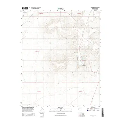
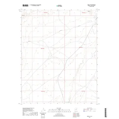
(16)- 2011 Map of Mowaapi, 2011 Print
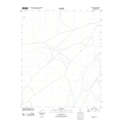 2011 Mowaapi2011 Print · USGSCovers Kykotsmovi Village, including Navajo County, United States, and other nearby areas
 - 2011 Map of Hotevilla, 2011 Print
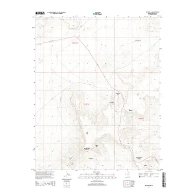
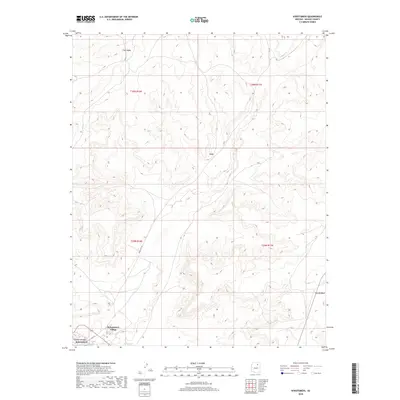
 2011 Hotevilla2011 Print · USGSCovers Kykotsmovi Village, including Aponi-vi, Mahtson-pi, and other nearby areas
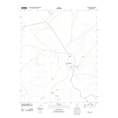
 - 2011 Map of Kykotsmovi, 2011 Print
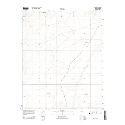
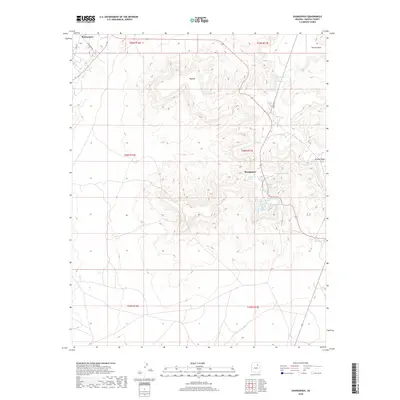
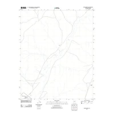 2011 Kykotsmovi2011 Print · USGSCovers Kykotsmovi Village, including Kykotsmovi, Navajo County, and other nearby areas
 - 2011 Map of Shungopavi, 2011 Print
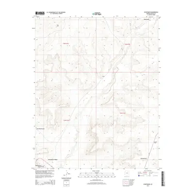
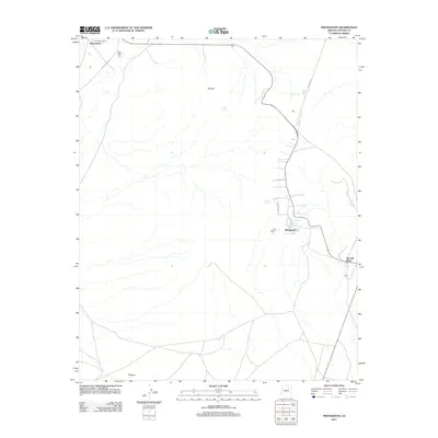 2011 Shungopavi2011 Print · USGSCovers Kykotsmovi Village, including Shungopavi, Navajo County, and other nearby areas
 - 2014 Map of Mowaapi, 2014 Print
 2014 Mowaapi2014 Print · USGSCovers Kykotsmovi Village, including Navajo County, United States, and other nearby areas
 - 2014 Map of Shungopavi, 2014 Print
 2014 Shungopavi2014 Print · USGSCovers Kykotsmovi Village, including Shungopavi, Navajo County, and other nearby areas
 - 2014 Map of Kykotsmovi, 2014 Print
 2014 Kykotsmovi2014 Print · USGSCovers Kykotsmovi Village, including Kykotsmovi, Navajo County, and other nearby areas
 - 2014 Map of Hotevilla, 2014 Print
 2014 Hotevilla2014 Print · USGSCovers Kykotsmovi Village, including Aponi-vi, Mahtson-pi, and other nearby areas
 - 2018 Map of Mowaapi, 2018 Print
 2018 Mowaapi2018 Print · USGSCovers Kykotsmovi Village, including Navajo County, United States, and other nearby areas
 - 2018 Map of Kykotsmovi, 2018 Print
 2018 Kykotsmovi2018 Print · USGSCovers Kykotsmovi Village, including Kykotsmovi, Navajo County, and other nearby areas
 - 2018 Map of Hotevilla, 2018 Print
 2018 Hotevilla2018 Print · USGSCovers Kykotsmovi Village, including Aponi-vi, Mahtson-pi, and other nearby areas
 - 2018 Map of Shungopavi, 2018 Print
 2018 Shungopavi2018 Print · USGSCovers Kykotsmovi Village, including Shungopavi, Navajo County, and other nearby areas
 - 2021 Map of Mowaapi, 2021 Print
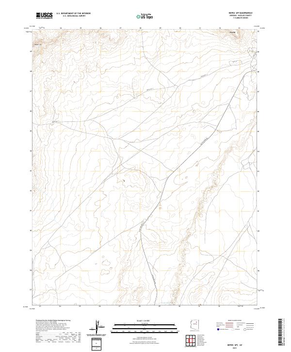 2021 Mowaapi2021 Print · USGSNavajo County and the areas surrounding Oraibi are captured in the early 2020s, showing the high-desert settlement patterns of the Hopi Reservation. Researchers can trace the path of the Oraibi Wash and follow local transport routes like Indian Rte 13 and Leupp-Oraibi Rd.
 - 2021 Map of Shungopavi, 2021 Print
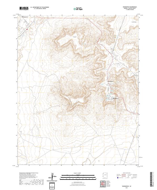 2021 Shungopavi2021 Print · USGSThe Hopi Reservation highlands are documented in this recent survey, showing the enduring village sites of Shongopovi and Kykotsmovi. Researchers can trace the vital network of desert water sources including White Spring, Bluebird Spring, and Ruins Spring along the cliffs of Second Mesa.
 - 2021 Map of Kykotsmovi, 2021 Print
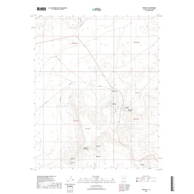
 2021 Kykotsmovi2021 Print · USGSNavajo County's high-desert mesas are documented here in the early twenty-first century, centered on the tribal administration hub. Researchers can locate Kykotsmovi Village and Kiiqö while tracing the geography of Third Mesa and the Oraibi Wash.
 - 2021 Map of Hotevilla, 2021 Print
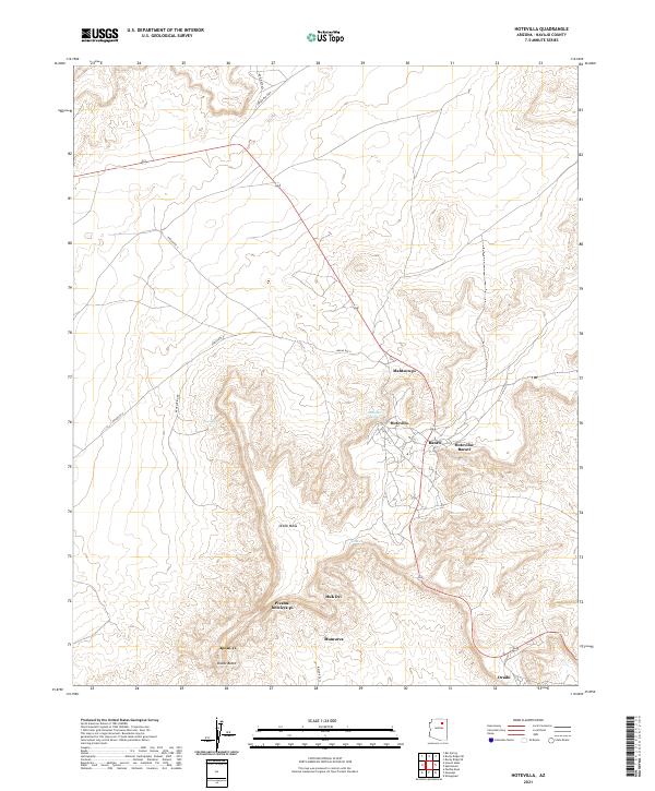 2021 Hotevilla2021 Print · USGSNavajo County mesa country is captured here in the early twenty-first century, showing the enduring footprint of Hopi settlements. Genealogists and historians can trace the locations of Hotevilla, Bacavi, and Oraibi alongside traditional sites like Huk Ovi and Mumurva.
End of results
Showing maps 1-16 of 16
Top cities near Kykotsmovi Village
Top neighborhoods of Kykotsmovi Village
Frequently asked questions
- What are the different types of historical maps available for Kykotsmovi Village?
- What is the oldest map of Kykotsmovi Village?
- Where can I purchase historical maps of Kykotsmovi Village for my home or office?
- Where can I download high-res historical maps of Kykotsmovi Village?
- Are there historical topographic maps available for Kykotsmovi Village?
- Is there historical aerial imagery available for Kykotsmovi Village?
- Where are historical maps of Kykotsmovi Village sourced from?