Old Maps of Ajo Terrace, Pima County for Metal Detecting
Plan your next treasure hunt with 23 historic maps of Ajo Terrace. Find old homesites, ghost towns, trails, and gathering spots that may be lost to time — perfect for identifying promising metal detecting locations.
- Locate forgotten sites: Uncover places like long-lost settlements, abandoned rail lines, or gathering spots.
- Plan better hunts: Use map overlays combined with LiDAR or satellite views to narrow in on historically rich areas.
- Made for detectorists: Thousands of hobbyists use these maps to discover relics, coins, and hidden history.
Use these historic maps to boost your research and find new opportunities beneath the surface of Ajo Terrace.
Ajo Terrace, Pima County maps
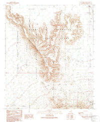
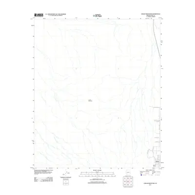
(23)- 1932 Map of Ajo, 1958 Print
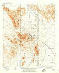 1932 Ajo1958 Print · USGSThe copper-rich Arizona desert comes alive in the early 1930s, centered on the massive pit and surrounding worker communities. Trace the rail lines of the Tucson Cornelia and Gila Bend RR or locate the historic Indian Cem and New Cornelia Mines.
 - 1934 Map of Ajo
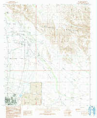
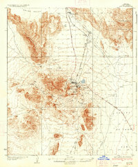 1934 Ajo1934 Print · USGSArizona's copper mining heartland comes into focus in the 1930s as industrial development expands across the desert. Genealogists and historians can trace local life at Mexican Town, locate the Indian Cem, or follow the Old Sonoita Road past remote sites like Bates Well.2 unique versions available
 - 1953 Map of Ajo, 1971 Print
 1953 Ajo1971 Print · USGSThe Arizona desert at mid-century reveals a landscape of massive copper mines, tribal reservations, and military testing grounds. Genealogists and historians can trace rail stopovers like Dateland and Mohawk or locate remote sites like the Reward Mine and Gu Achi (Santa Rosa).2 unique versions available
 - 1957 Map of Ajo
 1957 Ajo1957 Print · USGSSouthern Arizona in the fifties reveals a landscape of massive copper mines, remote desert wells, and tribal reservations. Genealogists and historians can trace old cattle outposts like Whitewing Ranch, the Tracy's Trading Post, and the copper works at Ajo.
 - 1958 Map of Ajo
 1958 Ajo1958 Print · USGSThe high desert of Pima and Yuma Counties during the late fifties shows a landscape of remote copper mines and military flight paths. Researchers can trace the Southern Pacific Railroad through Gila Bend and find heritage sites like O'Neills Grave or the Christmas Gift Mine.2 unique versions available
 - 1962 Map of Ajo
 1962 Ajo1962 Print · USGSSouthern Arizona in the early sixties was a landscape of deep-desert mining, military airfields, and tribal lands. Researchers can trace the Cornelia Mine near Ajo, remote outposts like Trays Trading Post, and the path of the Devils Highway.
 - 1963 Map of Ajo
 1963 Ajo1963 Print · USGSSouthwestern Arizona in the early sixties reveals a landscape of desert ranches and remote mining outposts. Trace the historic Southern Pacific line or locate isolated landmarks like O'Neils Grave and Tracy's Trading Post.
 - 1963 Map of Ajo, 1964 Print
 1963 Ajo1964 Print · USGSMid-century copper mining and desert railroading are captured here as the industrial footprint of Ajo reached its peak. Researchers can trace the layout of Mexican Town, the massive New Cornelia Mine works, and the Tucson Cornelia and Gila Bend Railroad line.2 unique versions available
 - 1967 Map of Ajo
 1967 Ajo1967 Print · USGSSouthern Arizona in the mid-1960s is depicted here as a landscape of military aviation and deep-desert ranching. Trace the historical mining operations at Vekol Mine or follow the Southern Pacific rail line through Gila Bend and Dateland.
 - 1980 Map of Ajo, 1996 Print
 1980 Ajo1996 Print · USGSIn the Sonoran Desert during the early 1980s, mining operations and tribal lands shaped the landscape of Pima County. Researchers can trace the development of Ajo and Why, locate desert outposts like San Simon Well, and identify old workings at the Bluebird Mine.
 - 1982 Map of Ajo
 1982 Ajo1982 Print · USGSThe Arizona-Sonora borderlands come into focus in the early eighties, showcasing a landscape of desert mining towns and expansive tribal lands. Trace the Southern Pacific rail line through Gila Bend or explore the remote settlements of Ajo and Lukeville.
 - 1990 Map of Childs Mountain, 1991 Print
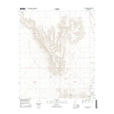
 1990 Childs Mountain1991 Print · USGSPima County's arid frontier is mapped here in the early 1990s as it transitions from the Air Force range into protected wilderness. Researchers can locate the settlement of Gibson and trace desert water sources like Pozo Salado and Dunns Well among scattered Prospects.
 - 1990 Map of Ajo North, 1991 Print
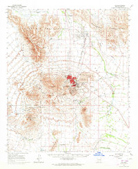
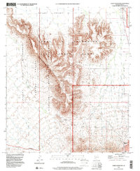
 1990 Ajo North1991 Print · USGSNear the close of the century, the Arizona desert north of Ajo was a landscape of military boundaries and industrial tailing ponds. Researchers can trace the layout of the Barry M Goldwater Air Force Range and local landmarks like Childs, the Ajo Country Club, and the Cem.
 - 1996 Map of Childs Mountain, 2000 Print
 1996 Childs Mountain2000 Print · USGSThe Pima County desert as it appeared in the late nineties showcases a landscape shaped by military activity and conservation. Researchers can trace the boundaries of the Cabeza Prieta National Wildlife Refuge alongside local landmarks like Pozo Salado and Dunns Well.
 - 1996 Map of Ajo North, 2000 Print
 1996 Ajo North2000 Print · USGSIn the mid-nineties, this Pima County landscape shows the meeting point of desert wilderness and large-scale mining industry. Researchers can trace the layout of Ajo and Gibson alongside the massive Tailings Pond and the Ajo Municipal Airport.
 - 2011 Map of Childs Mountain, 2011 Print
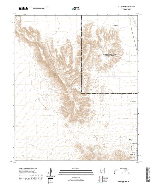
 2011 Childs Mountain2011 Print · USGSCovers Ajo Terrace, including Hickiwan, Pima County, and other nearby areas
 - 2011 Map of Ajo North, 2011 Print
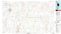
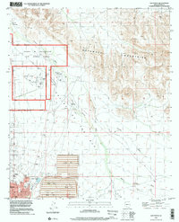
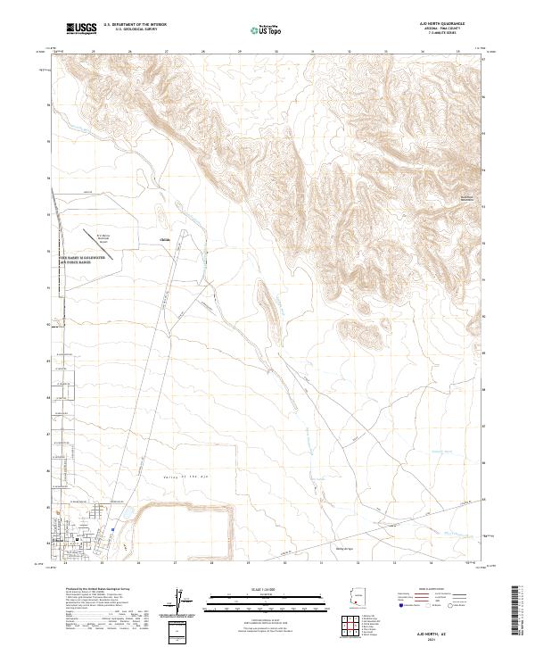
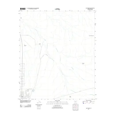 2011 Ajo North2011 Print · USGSCovers Ajo Terrace, including Ajo, Hickiwan, and other nearby areas
 - 2014 Map of Childs Mountain, 2014 Print
 2014 Childs Mountain2014 Print · USGSCovers Ajo Terrace, including Hickiwan, Pima County, and other nearby areas
 - 2014 Map of Ajo North, 2014 Print
 2014 Ajo North2014 Print · USGSCovers Ajo Terrace, including Ajo, Hickiwan, and other nearby areas
 - 2018 Map of Childs Mountain, 2018 Print
 2018 Childs Mountain2018 Print · USGSCovers Ajo Terrace, including Hickiwan, Pima County, and other nearby areas
 - 2018 Map of Ajo North, 2018 Print
 2018 Ajo North2018 Print · USGSCovers Ajo Terrace, including Ajo, Hickiwan, and other nearby areas
 - 2021 Map of Ajo North, 2021 Print
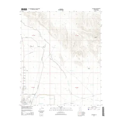
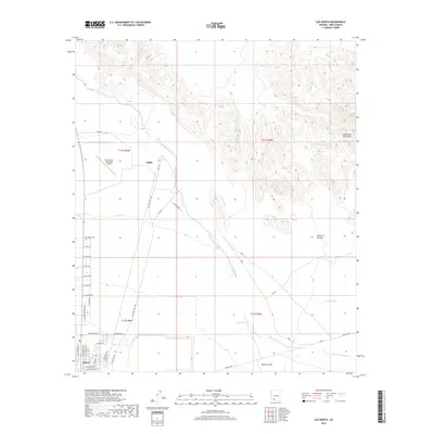
 2021 Ajo North2021 Print · USGSThe Pima County desert landscape comes alive in the early twenty-first century as the high peaks meet the drainage basins. Researchers can trace the layout of Gibson, locate the Ajo Cem, and follow the long paths of Sikort Chuapo Wash.
 - 2021 Map of Childs Mountain, 2021 Print
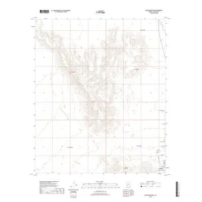
 2021 Childs Mountain2021 Print · USGSThe desert landscape around Ajo in the early 2020s shows the convergence of residential growth and high peaks. Genealogists and historians can trace the street grids of Ajo and Gibson or locate local landmarks like Childs Mtn and Gibson Arroyo.
End of results
Showing maps 1-23 of 23
Frequently asked questions
- What are the different types of historical maps available for Ajo Terrace?
- What is the oldest map of Ajo Terrace?
- Where can I purchase historical maps of Ajo Terrace for my home or office?
- Where can I download high-res historical maps of Ajo Terrace?
- Are there historical topographic maps available for Ajo Terrace?
- Is there historical aerial imagery available for Ajo Terrace?
- Where are historical maps of Ajo Terrace sourced from?