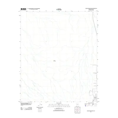
2011 Map of Childs Mountain
USGS Topo · Published 2011About this map
Childs Mountain rises as the dominant landform in this arid Pima County landscape, where the topography is defined by the complex drainage patterns of ephemeral watercourses. In the southeastern corner, the settlement of Gibson serves as a focal point for local activity, bordered by the seasonal flow of the Gibson Arroyo. The western and central portions of the map are characterized by a network of dry washes that feed into larger systems such as Tenmile Wash in the northeast.
Find a feature on this map
12 named features on this map. Tap any name to fly to it.
Don’t see what you’re looking for? This feature index may not catch every label — zoom into the map to look around manually.
Map Details
Editions of this 2011 Childs Mountain Map
This is the sole edition of this map. No revisions or reprints were ever made.
Other maps of this area

1932 · Ajo
USGS Topo · 1:62,500

1934 · Ajo
USGS Topo · 1:62,500

1953 · Ajo
USGS Topo · 1:250,000

1957 · Ajo
USGS Topo · 1:250,000

1958 · Ajo
USGS Topo · 1:250,000

1958 · Midway
USGS Topo · 1:62,500

1962 · Ajo
USGS Topo · 1:250,000

1963 · Ajo
USGS Topo · 1:250,000

1963 · Ajo
USGS Topo · 1:62,500

1964 · Growler Peak
USGS Topo · 1:62,500