
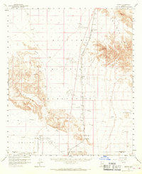
1958 Map of Midway
USGS Topo · Published 1959About this map
The Tucson Cornelia and Gila Bend railroad cuts a straight line through this arid landscape, connecting the remote reaches of Maricopa and Pima counties during the late 1950s. The terrain is defined by the stark elevations of the Sauceda Mts and the Crater Mountains, which give way to the broad expanse of Childs Valley. Water sources, while sparse, are meticulously noted, including the curiously named Well (that Johnny dug), Slovan Well, and Black Gap Well.
Find a feature on this map
19 named features on this map. Tap any name to fly to it.
Don’t see what you’re looking for? This feature index may not catch every label — zoom into the map to look around manually.
Map Details
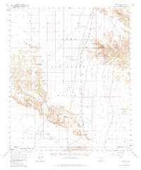
Editions of this 1958 Midway Map
3 editions found
Other maps of this area

1932 · Ajo
USGS Topo · 1:62,500

1934 · Ajo
USGS Topo · 1:62,500

1949 · Sentinel
USGS Topo · 1:62,500

1950 · Sentinel
USGS Topo · 1:62,500

1950 · Theba
USGS Topo · 1:62,500

1951 · Gila Bend
USGS Topo · 1:62,500

1951 · Theba
USGS Topo · 1:62,500

1953 · Ajo
USGS Topo · 1:250,000

1957 · Ajo
USGS Topo · 1:250,000

1958 · Ajo
USGS Topo · 1:250,000