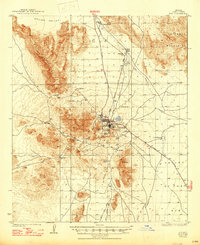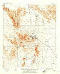
1932 Map of Ajo
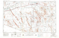
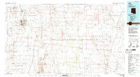
USGS Topo · Published 1958About this map
Ajo stands as the industrial and social heart of this desert landscape, its development deeply tied to the massive New Cornelia Mines that dominate the local economy. The town is surrounded by distinct residential and service clusters including Mexican Town, Gibson, and Clarkstown Rowood PO, reflecting the segregated settlement patterns common in early 20th-century mining districts. This 1930s survey captures the region just as modern infrastructure was taking hold, evidenced by the Tucson Cornelia and Gila Bend RR and the Ajo Landing Field which connected this remote copper center to the wider world.
Find a feature on this map
35 named features on this map. Tap any name to fly to it.
Don’t see what you’re looking for? This feature index may not catch every label — zoom into the map to look around manually.
Map Details
Editions of this 1932 Ajo Map
This is the sole edition of this map. No revisions or reprints were ever made.
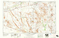
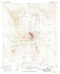
Historical Maps of Ajo Through Time
11 maps found