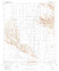
1958 Map of Midway
USGS Topo · Published 1985About this map
Luke Air Force Range dominates this mid-century desert landscape, illustrating the intersection of military activity and the remote Arizona wilderness. Several auxiliary Airfield sites are scattered across the valley floor, supporting the flight operations of the era. Cutting through the center of the sheet is the Tucson Cornelia and Gila Bend, a critical rail line providing transportation through this arid corridor.
Find a feature on this map
17 named features on this map. Tap any name to fly to it.
Don’t see what you’re looking for? This feature index may not catch every label — zoom into the map to look around manually.
Map Details
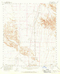
Editions of this 1958 Midway Map
3 editions found

Other maps of this area

1932 · Ajo
USGS Topo · 1:62,500

1934 · Ajo
USGS Topo · 1:62,500

1949 · Sentinel
USGS Topo · 1:62,500

1950 · Sentinel
USGS Topo · 1:62,500

1950 · Theba
USGS Topo · 1:62,500

1951 · Gila Bend
USGS Topo · 1:62,500

1951 · Theba
USGS Topo · 1:62,500

1953 · Ajo
USGS Topo · 1:250,000

1957 · Ajo
USGS Topo · 1:250,000

1958 · Ajo
USGS Topo · 1:250,000