1990s Maps of Pisinemo District, Arizona
Explore 25 historic maps of Pisinemo District from the 1990s. These maps offer a rare glimpse into what life looked like during the 1990s — showing old roads, neighborhoods, homes, and landmarks that have changed or disappeared over time.
Whether you're researching your family's past, planning a metal detecting trip, or studying how Pisinemo District's landscape evolved across the 1990s, these high-resolution maps are a powerful tool for exploring the history of this region.
- Focus on a specific era: All maps on this page are from the 1990s, giving you a focused view of this time period.
- See what’s changed: Compare century-old streets, trails, and buildings to today's modern landscape using overlays and satellite layers.
- Research with precision: Use these maps for genealogy, historical research, land use analysis, or educational projects.
- View, download, or print: Maps are fully viewable online in high resolution, and can be downloaded or printed for your own records.
Start exploring Pisinemo District's history through authentic maps from the 1990s. This is your window into the past.
Pisinemo District, AZ maps
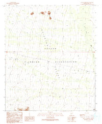
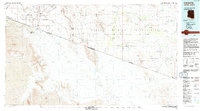
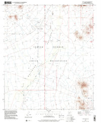
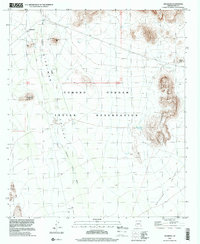
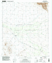
(25)- 1990 Map of Pisinimo
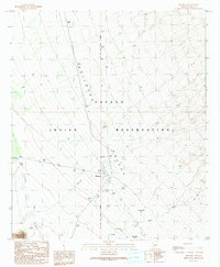 1990 Pisinimo1990 Print · USGSThe Papago Indian Reservation in the 1990s reveals a desert landscape defined by traditional settlements and clever water management. Researchers can trace the layout of Pisinimo, locate the Cem, and find historical locations such as Viason Chin (Site) and Peach Pu.
 - 1990 Map of Window Mountain
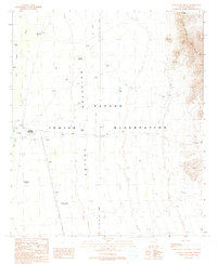
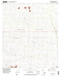
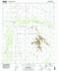
 1990 Window Mountain1990 Print · USGSThe Papago Indian Reservation in Pima County is captured here in the late twentieth century, showing a desert landscape of deep valleys and isolated peaks. Researchers can identify cultural locations like Oit Ihuk (Site) and geographical landmarks like Window Mountain and its Natural Arch.
 - 1990 Map of Wahak Hotrontk
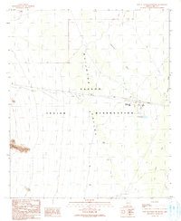
 1990 Wahak Hotrontk1990 Print · USGSThe Papago Indian Reservation in the early nineties is documented here as a landscape of desert survival and ancient sites. Researchers can trace the layout of Wahak Hotrontk or locate the historic footprints of Stotonyak (Site) and Ahan Owuch (Site).
 - 1990 Map of Maish Vaya
 1990 Maish Vaya1990 Print · USGSThe Papago Indian Reservation and its desert ranges are captured in the late twentieth century, showing a remote landscape of mining and O'odham settlements. Trace 4WD trails to Stoa Vaya, Maish Vaya, and mining sites like the Black Prince Mine.
 - 1990 Map of West of Wahak Hotrontk
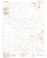
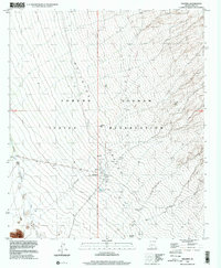
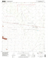
 1990 West of Wahak Hotrontk1990 Print · USGSThe Pima County desert in the 1990s reveals a landscape of communal infrastructure within the Papago Indian Reservation. Local history researchers can trace the water systems of the Quijotoa Valley through landmarks like the San Simon High Sch, Corral, and Check Dams.
 - 1990 Map of West of Pisinimo
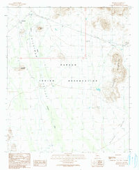
 1990 West of Pisinimo1990 Print · USGSIn the Sonoran Desert during the late 1980s, this survey captures the arid expanse of the Quijotoa Valley. Researchers can trace the layout of Schuk Cowlik and locate several Check Dams built to control seasonal water flow.
 - 1990 Map of Ben Nevis Mountain
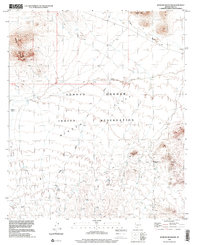
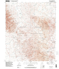
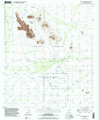
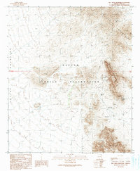 1990 Ben Nevis Mountain1990 Print · USGSThe Papago Indian Reservation and the Quijotoa Mountains are documented here during the late twentieth century. Researchers can trace historical mining operations at the Quijotoa Mine, Weldon Mine, and the remote settlement of Plato Vaya.
 - 1990 Map of Vaya Chin, 1991 Print
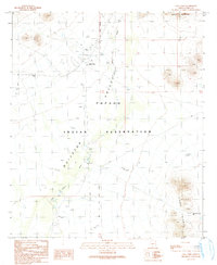 1990 Vaya Chin1991 Print · USGSThe Papago Indian Reservation in the early nineties reveals a landscape of desert survival and meticulous water management. Researchers can trace the layout of Vaya Chin, find the local Cem, and locate ranching infrastructure like the Corral and numerous Check Dams.
 - 1990 Map of Hickiwan, 1991 Print
 1990 Hickiwan1991 Print · USGSThe settlement of Hickiwan is captured here during the late twentieth century, showing the life and landscape of the Papago Indian Reservation. Researchers can trace the desert water systems and mineral exploration at Mine Shafts Adit Prospect or along the Hickiwan Wash.
 - 1994 Map of Lukeville
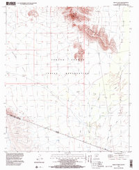
 1994 Lukeville1994 Print · USGSThe Arizona-Sonora borderlands come into focus in the mid-nineties, centering on the crossing between Lukeville and Sonoyta. Local historians can trace the scattered settlements of the Tohono O'odham Nation, including Ali Ak Chin and Tatk Kam Vo, alongside the peaks of the Ajo Range.
 - 1996 Map of Window Mountain, 2001 Print
 1996 Window Mountain2001 Print · USGSThe high desert of the Tohono O'odham nation is recorded here during the late twentieth century. Researchers can locate archaeological points like Oit Ihuk (Site) and geological landmarks such as Window Mountain and its Natural Arch.
 - 1996 Map of Ben Nevis Mountain, 2001 Print
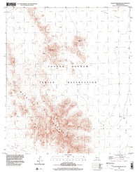
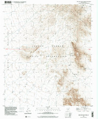 1996 Ben Nevis Mountain2001 Print · USGSThe Tohono O'odham Reservation in the mid-1990s reflects a landscape of desert mining and remote settlements. Researchers can trace the extensive workings of the Quijotoa Mine, the Ben Lomond Mines, and the community at Plato Vaya.
 - 1996 Map of Wahak Hotrontk, 2001 Print
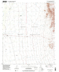 1996 Wahak Hotrontk2001 Print · USGSThe Tohono O'odham Nation in the 1990s is captured here as a landscape of desert valleys and isolated wells. Genealogists and historians can trace the locations of Wahak Hotrontk, San Simon Well, and historical locations like Stotonyak (Site).
 - 1996 Map of Vaya Chin, 2001 Print
 1996 Vaya Chin2001 Print · USGSIn the late nineties, the Tohono O'odham Indian Reservation maintained a quiet ranching presence in the Arizona desert. Genealogists and researchers can trace local landmarks like Vaya Chin, the nearby Cem, and isolated desert outposts such as Window Mountain Well.
 - 1996 Map of Pisinimo, 2001 Print
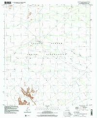
 1996 Pisinimo2001 Print · USGSThe Tohono O'odham nation in the mid-nineties is documented here across a landscape of desert washes and traditional sites. Genealogists and historians can trace local landmarks like Pisinimo, the San Antonio Well, and the historic Vlason Chin (Site).
 - 1996 Map of West of Pisinimo, 2001 Print
 1996 West of Pisinimo2001 Print · USGSThe Tohono O'odham nation at the close of the twentieth century is documented here through the shifting sands of the Quijotoa Valley. Local historians can trace the paths of the San Simon Wash and Gu Vo Wash across the reservation floor.
 - 1996 Map of Maish Vaya, 2001 Print
 1996 Maish Vaya2001 Print · USGSThe Tohono O'odham Indian Reservation and the mineral-rich mountains of Pima County are shown here as they appeared in the late nineties. Genealogists and historians can locate remote settlements like Stoa Vaya and trace mining sites from Brownell Peak to Quijotoa.
 - 1996 Map of Hickiwan, 2001 Print
 1996 Hickiwan2001 Print · USGSSet within the Tohono O'odham reservation in the late twentieth century, this map documents a desert landscape where the community of Hickiwan meets the Crooked Mountains. Researchers can trace local landmarks such as the Cemetery, old Mine Shafts, and early survey markers like GLO Sta No 11.
 - 1996 Map of West of Wahak Hotrontk, 2001 Print
 1996 West of Wahak Hotrontk2001 Print · USGSPima County’s desert landscape within the Tohono O'odham Nation is shown here in the mid-1990s. Researchers can locate remote desert infrastructure such as the San Simon High Sch and water management features like Hickiwan Wash and a local Ditch.
 - 1996 Map of Chupan Mountain, 2002 Print
 1996 Chupan Mountain2002 Print · USGSIn the desert basins of Pima County during the late nineties, the tribal landscape remained centered on its towering peaks and vital water sources. Researchers can trace remote desert routes to Vasquez Well, Stone Tank, and the high summits of Chupan Mountain.
 - 1996 Map of Kom Vo, 2002 Print
 1996 Kom Vo2002 Print · USGSThe Tohono O'odham desert landscape in the mid-nineties is documented here through its sparse villages and vast wash systems. Genealogists and historians can locate Kom Vo, Schuk Cowlik, and a small Cem near the Kupk Hills.
 - 1996 Map of Kupk, 2002 Print
 1996 Kupk2002 Print · USGSThe Tohono O'odham Indian Reservation in the 1990s reveals a desert landscape of traditional settlements and mission life. Researchers can trace local heritage at St Francis Mission, the Chicli Vo (Site), and Chuwut Murk.
 - 1996 Map of Kots Kug Ranch, 2002 Print
 1996 Kots Kug Ranch2002 Print · USGSSouthern Arizona’s high desert comes into focus in the mid-1990s as the Tohono O'odham Indian Reservation landscape is meticulously documented. Researchers can locate the isolated Kots Kug Ranch, its associated Cemetery, and seasonal water sources like Big Chukut Kuk Wash.
 - 1996 Map of Papago Farms, 2003 Print
 1996 Papago Farms2003 Print · USGSThe desert landscape of Pima County comes into focus in the mid-nineties, showing the intersection of traditional lands and desert agriculture. Researchers can trace the water systems of Papago Farms and locate local sites like Stan Shuatuk and Stoa Tontk.
 - 1996 Map of Bailey Peak, 2003 Print
 1996 Bailey Peak2003 Print · USGSThe Arizona-Sonora borderlands come into focus in the mid-nineties, showing the intersection of the Tohono O'odham Indian Reservation and Mexico. Trace the international boundary as it cuts between Bailey Peak and the southern C. El Conejo.
End of results
Showing maps 1-25 of 25
Top neighborhoods of Pisinemo District
- Peach Pu historical maps
- Kupk historical maps
- Tatk Kam Vo historical maps
- Viason Chin historical maps
- Kom Vo historical maps
- Stotonyak historical maps
See more
Frequently asked questions
- What are the different types of historical maps available for Pisinemo District?
- What is the oldest map of Pisinemo District?
- Where can I purchase historical maps of Pisinemo District for my home or office?
- Where can I download high-res historical maps of Pisinemo District?
- Are there historical topographic maps available for Pisinemo District?
- Is there historical aerial imagery available for Pisinemo District?
- Where are historical maps of Pisinemo District sourced from?