2000s (21st Century) Maps of Pisinemo District, Arizona
Explore 64 historic maps of Pisinemo District from the 2000s (21st Century). These maps offer a rare glimpse into what life looked like during the 2000s — showing old roads, neighborhoods, homes, and landmarks that have changed or disappeared over time.
Whether you're researching your family's past, planning a metal detecting trip, or studying how Pisinemo District's landscape evolved across the 2000s, these high-resolution maps are a powerful tool for exploring the history of this region.
- Focus on a specific era: All maps on this page are from the 2000s, giving you a focused view of this time period.
- See what’s changed: Compare century-old streets, trails, and buildings to today's modern landscape using overlays and satellite layers.
- Research with precision: Use these maps for genealogy, historical research, land use analysis, or educational projects.
- View, download, or print: Maps are fully viewable online in high resolution, and can be downloaded or printed for your own records.
Start exploring Pisinemo District's history through authentic maps from the 2000s. This is your window into the past.
Pisinemo District, AZ maps
(64)- 2011 Map of Kupk, 2011 Print
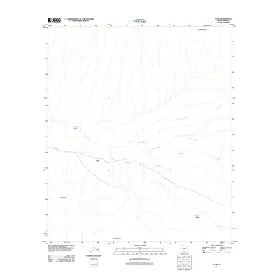 2011 Kupk2011 Print · USGSThe Pisinemo District comes into focus during the early twenty-first century as a desert landscape shaped by seasonal watercourses. Researchers can locate small communities like Kupk and Chicli-Vo or trace the paths of the Vamori Wash and San Luis Wash.
 - 2011 Map of Papago Farms, 2011 Print
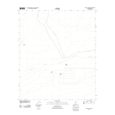 2011 Papago Farms2011 Print · USGSSouthern Arizona desert life and agricultural development are captured here in the early twenty-first century. Researchers can trace the grid of Papago Farms and the settlement at Stan Shuatuk along the seasonal Chukut Kuk Wash.
 - 2011 Map of Chupan Mountain, 2011 Print
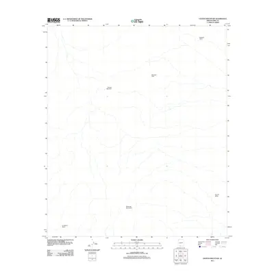 2011 Chupan Mountain2011 Print · USGSThe Pisinemo District of Pima County comes into focus in this recent survey of the Sonoran desert. Researchers can trace the geographic relationships between the Mesquite Mountains, Chupan Mountain, and the broad floor of Quijotoa Valley.
 - 2011 Map of Kom Vo, 2011 Print
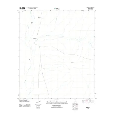 2011 Kom Vo2011 Print · USGSSouthern Arizona in the early twenty-first century is captured here as a desert landscape of valleys and washes. Researchers can trace rural settlement patterns near Kom Vo and Schuk Cowlik or follow the paths of Vamori Wash and Indian Rte 21.
 - 2011 Map of Kots Kug Ranch, 2011 Print
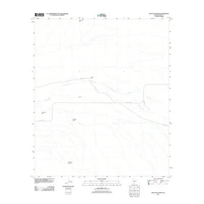 2011 Kots Kug Ranch2011 Print · USGSSouthern Pima County at the start of the 2010s reveals a desert landscape shaped by isolated ranching and ancestral lands. Researchers can trace the layout of Kots Kug Ranch and the community of Kots Kug along Papago Farms Rd.
 - 2011 Map of Bailey Peak, 2011 Print
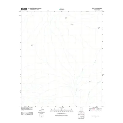 2011 Bailey Peak2011 Print · USGSThe Chukut Kuk District comes into focus here in the early twenty-first century, revealing a landscape of vast desert basins and isolated peaks. Researchers can trace the drainage patterns of San Simon Wash near the settlement of Shaotkam.
 - 2011 Map of Window Mountain, 2011 Print
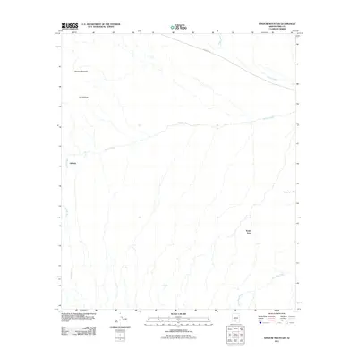 2011 Window Mountain2011 Print · USGSThe Sif Oidak District comes into focus at the start of the decade, showing a landscape where seasonal watercourses and desert peaks shape the community. Researchers can trace the layout of small settlements like Oit Ihuk and Noipa Kam near landmarks like The Window.
 - 2011 Map of Ben Nevis Mountain, 2011 Print
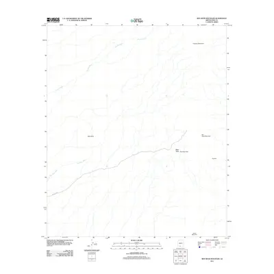 2011 Ben Nevis Mountain2011 Print · USGSThe desert landscape of Pima County is captured here in the early twenty-first century, centered on the settlement of Piato Vaya. Researchers can trace the path of Indian Rte 28 as it navigates between Ben Nevis Mountain and Black Butte.
 - 2011 Map of West of Wahak Hotrontk, 2011 Print
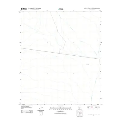 2011 West of Wahak Hotrontk2011 Print · USGSThe desert plains of Pima County are documented here in the early twenty-first century, showing a landscape shaped by seasonal water. Researchers can trace the sprawling drainage of Hickiwan Wash and San Simon Wash alongside Indian Rte 17.
 - 2011 Map of Hickiwan, 2011 Print
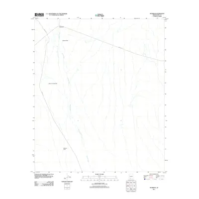 2011 Hickiwan2011 Print · USGSHickiwan and the surrounding desert peaks are captured here in the early twenty-first century. Researchers can trace the path of Hickiwan Wash through the Hickiwan Valley or locate landmarks like Black Circle Mountain.
 - 2011 Map of Maish Vaya, 2011 Print
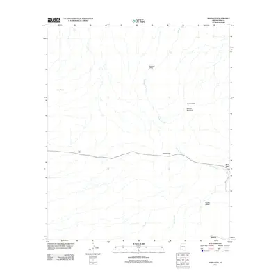 2011 Maish Vaya2011 Print · USGSMaish Vaya and the Gu Achi District are documented here in the early twenty-first century, showing the enduring desert settlements of the Tohono O'odham Nation. Researchers can trace local landmarks like Covered Wells, the Quijotoa Pass, and the seasonal flow of Santa Rosa Wash.
 - 2011 Map of West of Pisinimo, 2011 Print
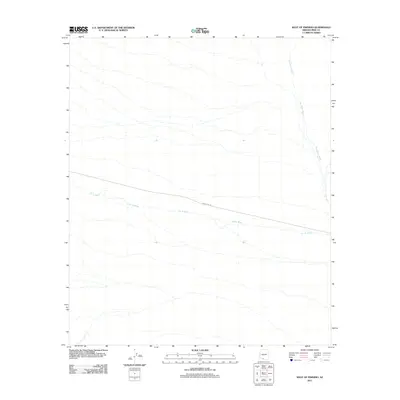 2011 West of Pisinimo2011 Print · USGSThe Pisinemo District is shown here in the early twenty-first century, dominated by a network of ephemeral desert watercourses. Local historians and researchers can trace the path of Indian Rte 28 as it crosses Gu Vo Wash and San Simon Wash.
 - 2011 Map of Wahak Hotrontk, 2011 Print
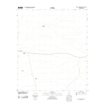 2011 Wahak Hotrontk2011 Print · USGSThe Pisinemo District of southern Arizona is documented here in the early twenty-first century, showing the intersection of desert roads and seasonal washes. Genealogists and historians can trace locations like Komak Wuacho, Wahak Hotrontk, and the Tracy Maintenance Camp.
 - 2011 Map of Vaya Chin, 2011 Print
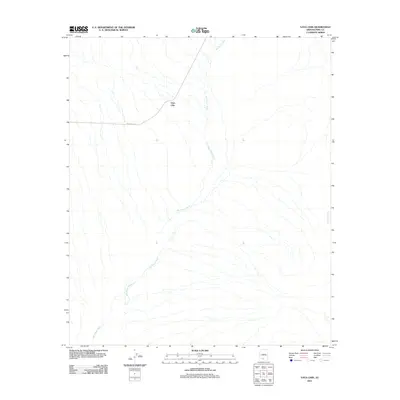 2011 Vaya Chin2011 Print · USGSThe settlement of Vaya Chin and its surrounding desert landscape are captured here in the early twenty-first century. Genealogists and researchers can trace the course of San Simon Wash and follow Indian Rte-34 through this remote corner of Pima County.
 - 2011 Map of Pisinimo, 2011 Print
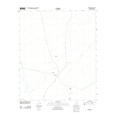 2011 Pisinimo2011 Print · USGSThe Tohono O'odham Nation in the early twenty-first century is documented here through its small settlements and vast desert washes. Researchers can trace the road networks connecting Pisinemo, Peach Pu, and Viason Chin across the San Simon Wash.
 - 2014 Map of Hickiwan, 2014 Print
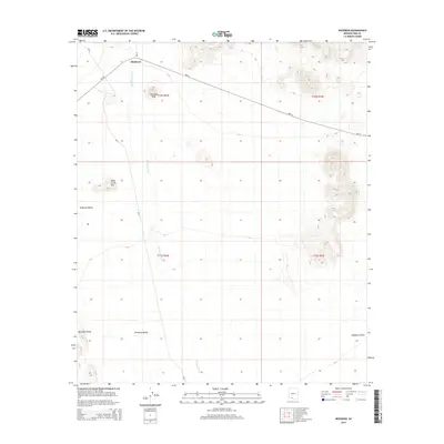 2014 Hickiwan2014 Print · USGSThe Tohono O'odham Nation interior is documented here during the early twenty-first century, centered on the settlement of Hickiwan. Researchers can trace local landmarks like Hickiwan Peak and follow the paths of BIA-17 and BIA-34 across the desert floor.
 - 2014 Map of Window Mountain, 2014 Print
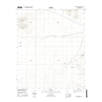 2014 Window Mountain2014 Print · USGSThe desert reaches of the Sif Oidak District appear here in the early twenty-first century, showing a landscape defined by ancestral settlements and geological landmarks. You can trace the proximity of Oit Ihuk and Noipa Kam to the seasonal courses of Gu Achi Wash and Santa Rosa Wash.
 - 2014 Map of Vaya Chin, 2014 Print
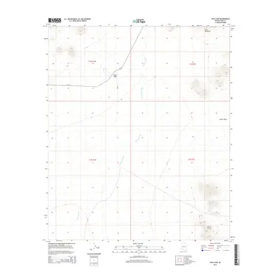 2014 Vaya Chin2014 Print · USGSVaya Chin and the surrounding desert of Pima County are captured here in the early twenty-first century. Researchers can trace the path of San Simon Wash and locate the crossroads at Vaya Chin near the Castle Mountains.
 - 2014 Map of Wahak Hotrontk, 2014 Print
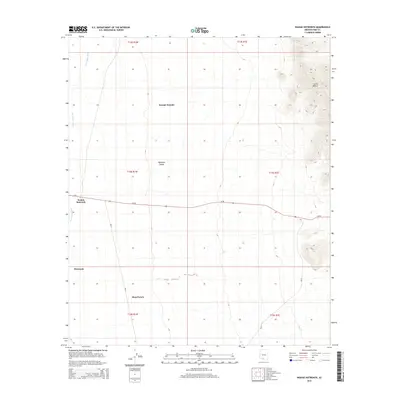 2014 Wahak Hotrontk2014 Print · USGSThe Pisinemo District in southern Arizona is captured here as it appeared in the early 2010s, showing the intersection of tribal roads and desert valley life. Genealogists and researchers can locate community centers like Wahak Hotrontk and Ahan Owuch or trace the San Simon Wash.
 - 2014 Map of West of Pisinimo, 2014 Print
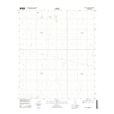 2014 West of Pisinimo2014 Print · USGSThe Pisinemo District and the Quijotoa Valley are captured here in the mid-2010s, showing the vast desert drainage systems of Pima County. Researchers can trace the seasonal paths of the San Simon Wash and the wide-reaching Gu Vo Wash as they cross through the valley floor.
 - 2014 Map of Ben Nevis Mountain, 2014 Print
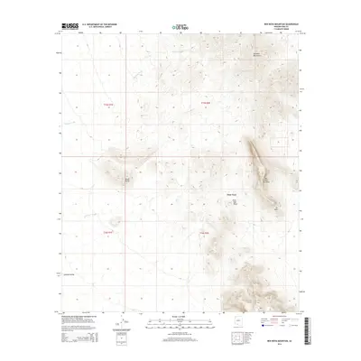 2014 Ben Nevis Mountain2014 Print · USGSThe Pisinemo District of southern Arizona is defined by the high peaks of the Quijotoa Mountains during the early twenty-first century. Researchers can trace the layout of Piato Vaya and find landmarks like Ben Nevis Mountain, Black Butte, and the Piato Vaya Pass.
 - 2014 Map of Pisinimo, 2014 Print
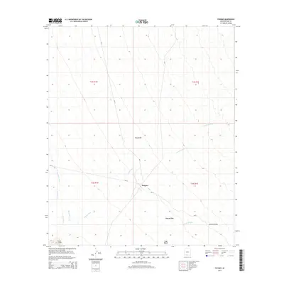 2014 Pisinimo2014 Print · USGSThe Pisinemo District of Pima County is shown in detail during the early 21st century, centered on the Quijotoa Valley. Researchers can trace the layout of desert communities like Pisinimo and Peach Pu along the Pisinimo Wash.
 - 2014 Map of West of Wahak Hotrontk, 2014 Print
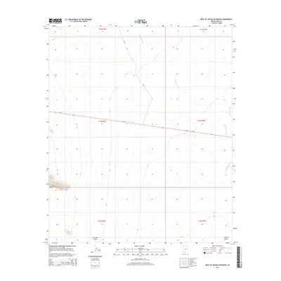 2014 West of Wahak Hotrontk2014 Print · USGSThe Tohono O'odham landscape near Hickiwan is captured here in the early twenty-first century as a quiet desert expanse. Researchers can trace the elevation changes of the Gunsight Hills and the winding paths of Hickiwan Wash and San Simon Wash.
 - 2014 Map of Maish Vaya, 2014 Print
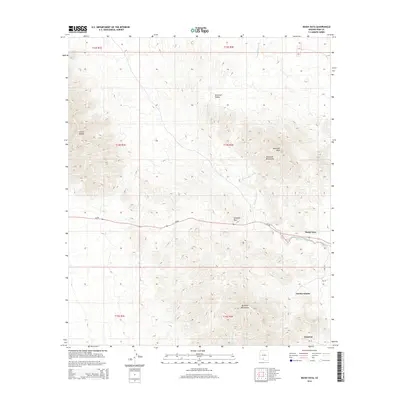 2014 Maish Vaya2014 Print · USGSThe high desert of Pima County comes into focus in this early twenty-first-century survey. Genealogists and desert researchers can trace the roads and washes connecting Maish Vaya, Quijotoa, and Narcho Santos along the Quijotoa Pass.
 - 2014 Map of Papago Farms, 2014 Print
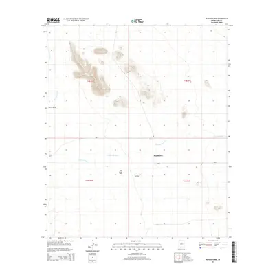 2014 Papago Farms2014 Print · USGSSouthern Arizona’s desert ranching and tribal lands are documented here in the early twenty-first century. Researchers can trace the infrastructure of Papago Farms and Stan Shuatuk along Chukut Kuk Wash and BIA routes.
Showing maps 1-25 of 64
Top neighborhoods of Pisinemo District
- Peach Pu historical maps
- Kupk historical maps
- Tatk Kam Vo historical maps
- Viason Chin historical maps
- Kom Vo historical maps
- Stotonyak historical maps
See more
Frequently asked questions
- What are the different types of historical maps available for Pisinemo District?
- What is the oldest map of Pisinemo District?
- Where can I purchase historical maps of Pisinemo District for my home or office?
- Where can I download high-res historical maps of Pisinemo District?
- Are there historical topographic maps available for Pisinemo District?
- Is there historical aerial imagery available for Pisinemo District?
- Where are historical maps of Pisinemo District sourced from?