Old Maps of Pisinemo District, Arizona for Genealogy
Trace your family roots with 111 historic maps of Pisinemo District. These high-res maps reveal old neighborhoods, homesites, landmarks, and streets — helping you uncover where your ancestors lived and how the area evolved over time.
- Explore historic neighborhoods: Identify where your relatives may have lived in the 1800s or 1900s.
- Compare maps over time: Trace the changes in streets, buildings, and landmarks for multi-generational research.
- Perfect for genealogy & ancestry research: Used by family historians and researchers to map out lineage and migration.
These maps are an incredible resource for exploring your personal connection to Pisinemo District's past.
Pisinemo District, AZ maps
(111)- 1953 Map of Ajo, 1971 Print
 1953 Ajo1971 Print · USGSThe Arizona desert at mid-century reveals a landscape of massive copper mines, tribal reservations, and military testing grounds. Genealogists and historians can trace rail stopovers like Dateland and Mohawk or locate remote sites like the Reward Mine and Gu Achi (Santa Rosa).2 unique versions available
 - 1954 Map of Sonoyta
 1954 Sonoyta1954 Print · USGSThe Arizona-Sonora borderlands come into focus in the 1950s, showing a landscape of volcanic craters and remote desert outposts. Trace the cattle-ranching and Indigenous history of the region through sites like Cervantls Well and Ali Ak Chin.
 - 1957 Map of Ajo
 1957 Ajo1957 Print · USGSSouthern Arizona in the fifties reveals a landscape of massive copper mines, remote desert wells, and tribal reservations. Genealogists and historians can trace old cattle outposts like Whitewing Ranch, the Tracy's Trading Post, and the copper works at Ajo.
 - 1958 Map of Ajo
 1958 Ajo1958 Print · USGSThe high desert of Pima and Yuma Counties during the late fifties shows a landscape of remote copper mines and military flight paths. Researchers can trace the Southern Pacific Railroad through Gila Bend and find heritage sites like O'Neills Grave or the Christmas Gift Mine.2 unique versions available
 - 1962 Map of Ajo
 1962 Ajo1962 Print · USGSSouthern Arizona in the early sixties was a landscape of deep-desert mining, military airfields, and tribal lands. Researchers can trace the Cornelia Mine near Ajo, remote outposts like Trays Trading Post, and the path of the Devils Highway.
 - 1963 Map of Ajo
 1963 Ajo1963 Print · USGSSouthwestern Arizona in the early sixties reveals a landscape of desert ranches and remote mining outposts. Trace the historic Southern Pacific line or locate isolated landmarks like O'Neils Grave and Tracy's Trading Post.
 - 1963 Map of Kom Vo, 1964 Print
 1963 Kom Vo1964 Print · USGSThe southern border of the Papago Indian Reservation is captured in the early 1960s, showing a land shaped by isolated wells and ancient paths. Genealogists and historians can trace the residents of Kom Vo and Vamori, or locate specific sites like Petroglyphs and Papago Farms.2 unique versions available
 - 1963 Map of Gu Oidak, 1964 Print
 1963 Gu Oidak1964 Print · USGSThe Papago Indian Reservation comes into focus during the early sixties, showing a landscape of traditional settlements and desert missions. Researchers can trace the layout of Gu Oidak, locate the St Francis Mission near Vamori, or find the Petroglyphs in the southern hills.2 unique versions available
 - 1963 Map of Gu Achi, 1964 Print
 1963 Gu Achi1964 Print · USGSIn the early 1960s, the heart of the Papago Indian Reservation was a landscape of remote desert villages and high-mountain mines. Researchers can trace traditional settlements like Anegam and Ali Oidak, or locate mining sites such as the Oro Grande Mine and Montezona Mine.2 unique versions available
 - 1963 Map of Quijotoa Mts, 1964 Print
 1963 Quijotoa Mts1964 Print · USGSThe Papago Indian Reservation comes into focus during the early sixties, showing a landscape defined by desert mining and traditional settlements. Researchers can locate remote sites like Stoa Vaya, the Quijotoa Trading Post, and numerous workings like the Black Prince Mine.2 unique versions available
 - 1963 Map of Cimarron Peak, 1964 Print
 1963 Cimarron Peak1964 Print · USGSThe Papago Indian Reservation in the early sixties remains a landscape of isolated peaks and desert washes. Genealogists and researchers can trace local landmarks like Hickiwan, the Cem at Tatria Toak, and the remote Window Mtn Well.
 - 1963 Map of Pisinimo, 1964 Print
 1963 Pisinimo1964 Print · USGSThe Papago Indian Reservation in the early sixties is captured here as a landscape of desert washes and remote O'odham villages. Genealogists and historians can trace traditional settlements and vital water sources like Pisinimo, Wahak Hotrontk, and Schuk Cowlik.2 unique versions available
 - 1963 Map of Lukeville, 1964 Print
 1963 Lukeville1964 Print · USGSThe Arizona-Mexico borderlands come into focus in this early 1960s survey, detailing the desert infrastructure of the Papago Indian Reservation. Researchers can locate remote sites like the Milton Mine, San Rafael Ruins, and the border crossing at Lukeville.2 unique versions available
 - 1967 Map of Ajo
 1967 Ajo1967 Print · USGSSouthern Arizona in the mid-1960s is depicted here as a landscape of military aviation and deep-desert ranching. Trace the historical mining operations at Vekol Mine or follow the Southern Pacific rail line through Gila Bend and Dateland.
 - 1980 Map of Ajo, 1996 Print
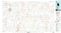 1980 Ajo1996 Print · USGSIn the Sonoran Desert during the early 1980s, mining operations and tribal lands shaped the landscape of Pima County. Researchers can trace the development of Ajo and Why, locate desert outposts like San Simon Well, and identify old workings at the Bluebird Mine.
 - 1982 Map of Ajo
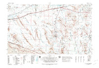 1982 Ajo1982 Print · USGSThe Arizona-Sonora borderlands come into focus in the early eighties, showcasing a landscape of desert mining towns and expansive tribal lands. Trace the Southern Pacific rail line through Gila Bend or explore the remote settlements of Ajo and Lukeville.
 - 1988 Map of Kom Vo
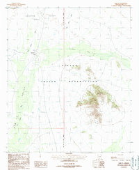 1988 Kom Vo1988 Print · USGSIn the Pima County desert during the 1980s, this area of the Papago Indian Reservation highlights traditional land use and water management. Researchers can locate remote settlements like Kom Vo and Tatk Kam Vo alongside desert Check Dams.
 - 1988 Map of Kupk
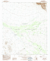 1988 Kupk1988 Print · USGSThe Papago Indian Reservation in the late eighties reveals a desert landscape of traditional settlements and mission outposts. Researchers can trace the layout of Kupk, find the Chicli Vo (Site), and locate missions such as St Francis Mission.
 - 1988 Map of Kots Kug Ranch
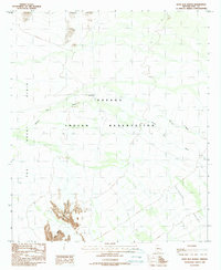 1988 Kots Kug Ranch1988 Print · USGSThe Papago Indian Reservation in the late 1980s reveals a ranching landscape shaped by desert hydrology and remote topography. Researchers can trace land use through features like the Kots Kug Ranch, a local Cem, and infrastructure such as a Corral and Check Dams.
 - 1988 Map of Bailey Peak
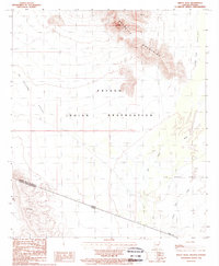 1988 Bailey Peak1988 Print · USGSThe Arizona-Sonora borderlands come into focus in the late 1980s, centered on the Papago Indian Reservation. Trace the high desert terrain from Bailey Peak across The Great Plain to the international boundary at El Conejo.
 - 1988 Map of Papago Farms
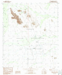 1988 Papago Farms1988 Print · USGSArizona's desert borderlands come into focus in the late 1980s, documenting a remote intersection of tribal land and agricultural development. Researchers can trace the layout of Papago Farms, find the cemetery at Stan Shuatuk, and locate the Landing Strip on The Great Plain.
 - 1988 Map of Chupan Mountain
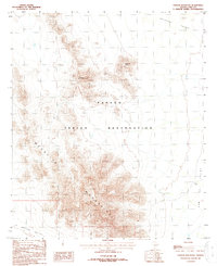 1988 Chupan Mountain1988 Print · USGSSouthern Pima County appears in the late eighties as a landscape of dramatic mountain ranges and desert valleys. Researchers can trace land patterns in the Papago Indian Reservation and locate water sources like Vasquez Well and Mamtotk Peak.
 - 1990 Map of Pisinimo
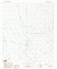 1990 Pisinimo1990 Print · USGSThe Papago Indian Reservation in the 1990s reveals a desert landscape defined by traditional settlements and clever water management. Researchers can trace the layout of Pisinimo, locate the Cem, and find historical locations such as Viason Chin (Site) and Peach Pu.
 - 1990 Map of Window Mountain
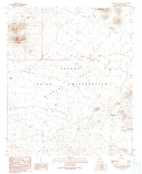 1990 Window Mountain1990 Print · USGSThe Papago Indian Reservation in Pima County is captured here in the late twentieth century, showing a desert landscape of deep valleys and isolated peaks. Researchers can identify cultural locations like Oit Ihuk (Site) and geographical landmarks like Window Mountain and its Natural Arch.
 - 1990 Map of Wahak Hotrontk
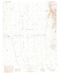 1990 Wahak Hotrontk1990 Print · USGSThe Papago Indian Reservation in the early nineties is documented here as a landscape of desert survival and ancient sites. Researchers can trace the layout of Wahak Hotrontk or locate the historic footprints of Stotonyak (Site) and Ahan Owuch (Site).
Showing maps 1-25 of 111
Top neighborhoods of Pisinemo District
- Peach Pu historical maps
- Kupk historical maps
- Tatk Kam Vo historical maps
- Viason Chin historical maps
- Kom Vo historical maps
- Stotonyak historical maps
See more
Frequently asked questions
- What are the different types of historical maps available for Pisinemo District?
- What is the oldest map of Pisinemo District?
- Where can I purchase historical maps of Pisinemo District for my home or office?
- Where can I download high-res historical maps of Pisinemo District?
- Are there historical topographic maps available for Pisinemo District?
- Is there historical aerial imagery available for Pisinemo District?
- Where are historical maps of Pisinemo District sourced from?