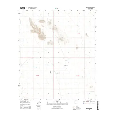
2014 Map of Papago Farms
USGS Topo · Published 2014About this map
Stan Shuatuk and the agricultural area of Papago Farms define this arid landscape within the Tohono O'odham Nation. Located in the eastern reaches of The Great Plain, the terrain is characterized by broad alluvial basins and isolated desert peaks. The drainage systems of Chukut Kuk Wash and San Simon Wash bisect the territory, illustrating the intermittent water patterns of the Kom Vo Valley. A network of Bureau of Indian Affairs routes, including Bia-18, Bia-20, and Bia-21, provide the primary infrastructure for the region, connecting remote ranching sites and tribal settlements across the Pima County desert. This survey captures the spatial relationship between traditional land use and the modern road network in a specialized desert farming corridor.
Find a feature on this map
13 named features on this map. Tap any name to fly to it.
Don’t see what you’re looking for? This feature index may not catch every label — zoom into the map to look around manually.
Map Details
Editions of this 2014 Papago Farms Map
This is the sole edition of this map. No revisions or reprints were ever made.
Other maps of this area

1954 · Sonoyta
USGS Topo · 1:250,000

1963 · Kom Vo
USGS Topo · 1:62,500

1963 · Gu Oidak
USGS Topo · 1:62,500
1963 · La Lesna Mts.
USGS Topo · 1:62,500

1963 · Lukeville
USGS Topo · 1:250,000
1988 · Kom Vo
USGS Topo · 1:24,000
1988 · South of Bailey Peak
USGS Topo · 1:24,000
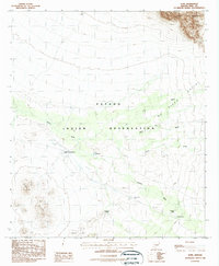
1988 · Kupk
USGS Topo · 1:24,000
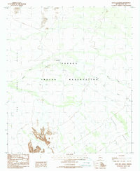
1988 · Kots Kug Ranch
USGS Topo · 1:24,000
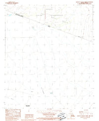
1988 · South of Papago Farms
USGS Topo · 1:24,000
Featured Places
- Stan Shuatuk, Chukut Kuk District
- Chukut Kuk District, AZ
- Pisinemo District, AZ
- Papago Farms, Chukut Kuk District
- Pima County, AZ