Old Maps of Blake Place, Arizona for Metal Detecting
Plan your next treasure hunt with 16 historic maps of Blake Place. Find old homesites, ghost towns, trails, and gathering spots that may be lost to time — perfect for identifying promising metal detecting locations.
- Locate forgotten sites: Uncover places like long-lost settlements, abandoned rail lines, or gathering spots.
- Plan better hunts: Use map overlays combined with LiDAR or satellite views to narrow in on historically rich areas.
- Made for detectorists: Thousands of hobbyists use these maps to discover relics, coins, and hidden history.
Use these historic maps to boost your research and find new opportunities beneath the surface of Blake Place.
Blake Place, AZ maps
(16)- 1911 Map of Winkelman, 1957 Print
 1911 Winkelman1957 Print · USGSThe Pinal and Pima County line comes alive in the 1910s, showing a landscape of mining camps and early ranching. Genealogists and historians can trace the foundations of Mammoth and find long-lost sites like the Finch School, Campo Bonito, and the MAMMOTH MINE.
 - 1913 Map of Winkelman
 1913 Winkelman1913 Print · USGSThe confluence of the Gila and San Pedro rivers in the 1910s reveals a landscape of mining camps and remote ranching outposts. Trace the early industrial footprint of the Mammoth Mine and Oracle or find family landmarks like Finch School and Biddicks Cabin.4 unique versions available
 - 1949 Map of Holy Joe Peak, 1952 Print
 1949 Holy Joe Peak1952 Print · USGSSoutheast Arizona in the late 1940s reveals a high-desert ranching landscape shaped by the San Pedro River and the rugged cuts of Aravaipa Canyon. Researchers can trace the path of the Old Camp Grant Military Road and locate family landmarks like Eskimazene Ranch or the PZ Ranch.2 unique versions available
 - 1949 Map of Holy Joe Peak, 1963 Print
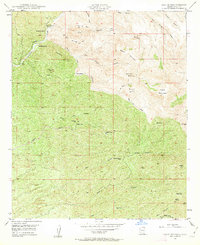 1949 Holy Joe Peak1963 Print · USGSPinal County ranching and mining history come to life in the late 1940s as cattle operations navigate the canyons of Aravaipa Creek. Trace family history at the Vale District Sch (Aban'd) or locate legacy holdings like Mounterest Ranch and Blake Place.5 unique versions available
 - 1950 Map of Holy Joe Peak
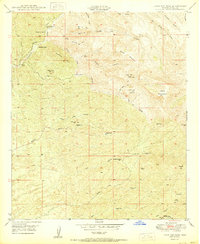 1950 Holy Joe Peak1950 Print · USGSPinal County's high desert peaks and canyons are shown at the mid-century during a period of ranching and early mining transition. Genealogists and researchers can locate family outposts like Reese Ranch and Mounterest Ranch or the Vale District Sch (Aban'd).
 - 1956 Map of Tucson, 1967 Print
 1956 Tucson1967 Print · USGSPost-war Southern Arizona comes into focus as the copper and aviation industries expand around Tucson. Trace family roots in South Tucson or locate early mining sites like the San Manuel Mine and Silver Bell Mine near the Santa Cruz River.3 unique versions available
 - 1958 Map of Tucson
 1958 Tucson1958 Print · USGSSouthern Arizona in the late fifties reveals a landscape of desert agriculture and rising military aviation. Trace the rail lines of the Southern Pacific or locate the historic San Xavier Del Bac Mission and the Casa Grande Natl Mon.
 - 1959 Map of Tucson
 1959 Tucson1959 Print · USGSSouthern Arizona in the late fifties shows a landscape of military growth and desert industry. Genealogists and historians can trace the footprint of Davis-Monthan Air Force Base and old mining sites like the San Manuel Mine near Mammoth.2 unique versions available
 - 1962 Map of Tucson
 1962 Tucson1962 Print · USGSSouthern Arizona in the early sixties showcases a landscape defined by burgeoning desert cities and massive military installations. Researchers can trace tribal settlements like Schuchk, legacy mining sites at Silver Bell Mine, and the early footprint of Davis-Monthan Air Force Base.
 - 1964 Map of Tucson
 1964 Tucson1964 Print · USGSSouthern Arizona in the mid-1960s shows a landscape of burgeoning desert cities and industrial-scale copper mining. Researchers can trace the development of Tucson and its outlying mining districts, including the Silver Bell Mine and San Manuel Mine.
 - 1986 Map of Mammoth, 1987 Print
 1986 Mammoth1987 Print · USGSThe copper-rich corridors of Pinal and Graham counties are captured in the mid-1980s as mining towns and mountain wilderness met. Researchers can trace the industrial footprints of the San Manuel Mine and Hayden, alongside landmarks like the Silver Queen Mine and Aravaipa Creek.3 unique versions available
 - 2011 Map of Holy Joe Peak, 2011 Print
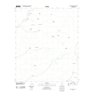 2011 Holy Joe Peak2011 Print · USGSSoutheastern Arizona ranching and mountain terrain are captured here just after the turn of the millennium. Researchers can trace remote family-named outposts and topographical landmarks such as Blake Place, Mounterest Ranch, and the summit of Holy Joe Peak.
 - 2014 Map of Holy Joe Peak, 2014 Print
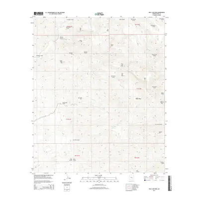 2014 Holy Joe Peak2014 Print · USGSCovers Blake Place, including Pinal County, United States, and other nearby areas
 - 2018 Map of Holy Joe Peak, 2018 Print
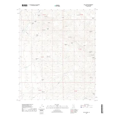 2018 Holy Joe Peak2018 Print · USGSCovers Blake Place, including Pinal County, United States, and other nearby areas
 - 2021 Map of Holy Joe Peak, 2021 Print
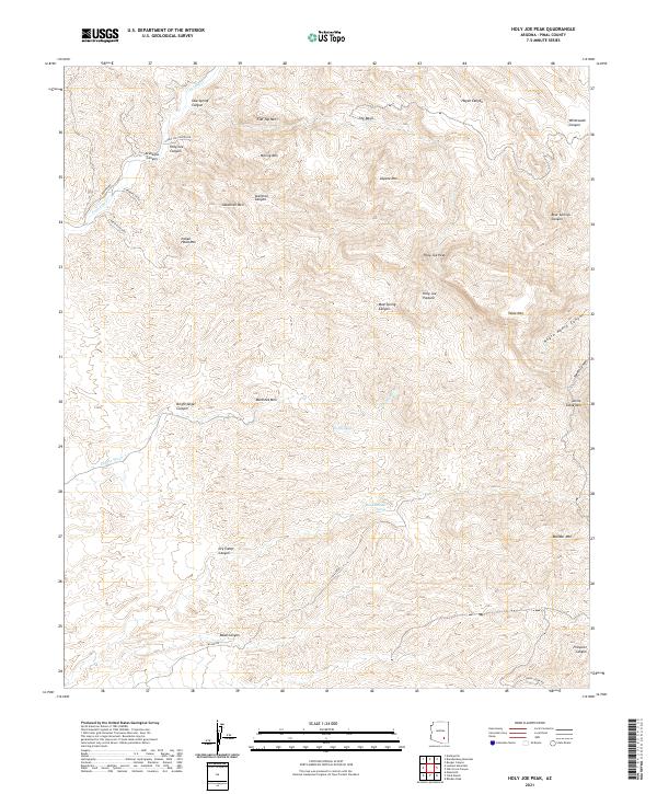 2021 Holy Joe Peak2021 Print · USGSArizona's high desert peaks and deep canyon drainages are recorded here in the early twenty-first century. Researchers can trace land features like Holy Joe Peak, water sources like Buzzard Roost Spring, and the terrain of Aravaipa Canyon.
 - 2026 Map of Holy Joe Peak, 2026 Print
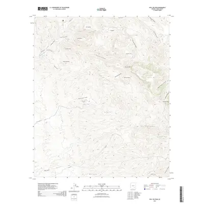 2026 Holy Joe Peak2026 Print · USGSCovers Blake Place, including Pinal County, United States, and other nearby areas
End of results
Showing maps 1-16 of 16
Top cities near Blake Place
Frequently asked questions
- What are the different types of historical maps available for Blake Place?
- What is the oldest map of Blake Place?
- Where can I purchase historical maps of Blake Place for my home or office?
- Where can I download high-res historical maps of Blake Place?
- Are there historical topographic maps available for Blake Place?
- Is there historical aerial imagery available for Blake Place?
- Where are historical maps of Blake Place sourced from?