2020s Maps of Nogales, Arizona
Explore 2 historic maps of Nogales from the 2020s. These maps offer a rare glimpse into what life looked like during the 2020s — showing old roads, neighborhoods, homes, and landmarks that have changed or disappeared over time.
Whether you're researching your family's past, planning a metal detecting trip, or studying how Nogales's landscape evolved across the 2020s, these high-resolution maps are a powerful tool for exploring the history of this region.
- Focus on a specific era: All maps on this page are from the 2020s, giving you a focused view of this time period.
- See what’s changed: Compare century-old streets, trails, and buildings to today's modern landscape using overlays and satellite layers.
- Research with precision: Use these maps for genealogy, historical research, land use analysis, or educational projects.
- View, download, or print: Maps are fully viewable online in high resolution, and can be downloaded or printed for your own records.
Start exploring Nogales's history through authentic maps from the 2020s. This is your window into the past.
Nogales, AZ maps
(2)- 2021 Map of Nogales, 2021 Print
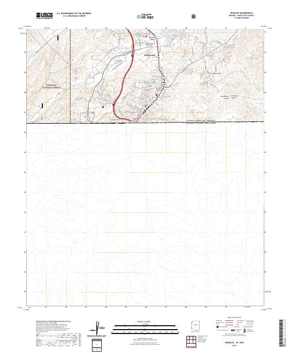 2021 Nogales2021 Print · USGSNogales stands at the southern edge of Arizona at the Mexican border during the early twenty-first century. Researchers can trace the modern street grid past the Santa Cruz County Superior Courthouse and into the canyons of Coronado National Forest.
 - 2021 Map of Rio Rico, 2021 Print
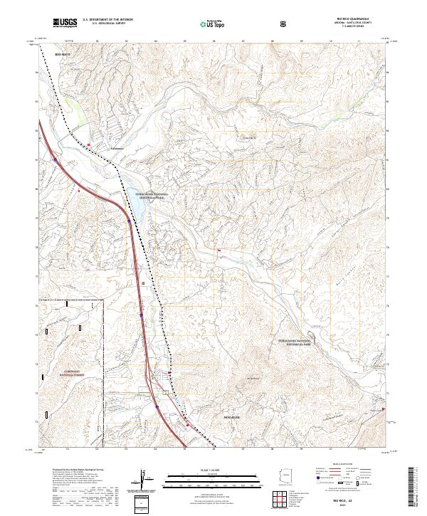 2021 Rio Rico2021 Print · USGSThe Santa Cruz River valley comes alive in this survey of the borderlands south of Tucson, showing the development of Rio Rico and Calabasas. Trace the intersection of modern growth and protected heritage sites like Tumacacori National Historical Park and Mt Benedict.
End of results
Showing maps 1-2 of 2
Top cities near Nogales
Frequently asked questions
- What are the different types of historical maps available for Nogales?
- What is the oldest map of Nogales?
- Where can I purchase historical maps of Nogales for my home or office?
- Where can I download high-res historical maps of Nogales?
- Are there historical topographic maps available for Nogales?
- Is there historical aerial imagery available for Nogales?
- Where are historical maps of Nogales sourced from?