Old Maps of Chino Valley, Arizona
Explore 23 old maps of Chino Valley, spanning from 1887 to today. These high-resolution historic maps reveal how streets, neighborhoods, landmarks, and natural features evolved over time — perfect for genealogy, metal detecting, research, and local history exploration.
What you can do with these maps:
- See how Chino Valley changed over time: Compare historical maps to modern-day views to trace roads, homesites, rail lines & more.
- View detailed metadata: Each map includes creators, publishers, year, scale, and archive source.
- Overlay maps with satellite & LiDAR: Visualize the past alongside modern tools to explore terrain & human change.
- Trusted historical sources: Maps sourced from the USGS, Library of Congress, and other archives.
- Access maps your way: View online, download high-res files, or order prints for personal or research use.
Start exploring old maps of Chino Valley to uncover forgotten places, hidden landmarks, and the deep history beneath your feet.
Chino Valley, AZ maps
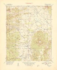
(23)- 1887 Map of Prescott
 1887 Prescott1887 Print · USGSCovers Chino Valley, including Prescott, Prescott Valley, and other nearby areas
 - 1892 Map of Prescott, 1898 Print
 1892 Prescott1898 Print · USGSCovers Chino Valley, including Prescott, Prescott Valley, and other nearby areas5 unique versions available
 - 1905 Map of Jerome
 1905 Jerome1905 Print · USGSCovers Chino Valley, including Prescott, Prescott Valley, and other nearby areas2 unique versions available
 - 1947 Map of Simmons, 1958 Print
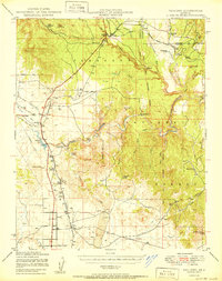
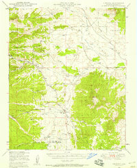 1947 Simmons1958 Print · USGSCovers Chino Valley, including Yavapai County, United States, and other nearby areas2 unique versions available
 - 1947 Map of Paulden, 1958 Print
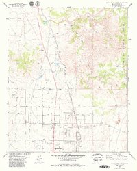
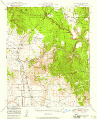 1947 Paulden1958 Print · USGSCovers Chino Valley, including Paulden, Yavapai County, and other nearby areas3 unique versions available
 - 1947 Map of Prescott, 1959 Print
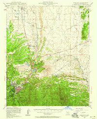 1947 Prescott1959 Print · USGSCovers Chino Valley, including Prescott, Prescott Valley, and other nearby areas3 unique versions available
 - 1948 Map of Prescott
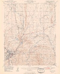 1948 Prescott1948 Print · USGSCovers Chino Valley, including Prescott, Prescott Valley, and other nearby areas4 unique versions available
 - 1948 Map of Simmons
 1948 Simmons1948 Print · USGSCovers Chino Valley, including Yavapai County, United States, and other nearby areas
 - 1949 Map of Paulden
 1949 Paulden1949 Print · USGSCovers Chino Valley, including Paulden, Yavapai County, and other nearby areas
 - 1950 Map of Paulden
 1950 Paulden1950 Print · USGSCovers Chino Valley, including Paulden, Yavapai County, and other nearby areas2 unique versions available
 - 1950 Map of Simmons
 1950 Simmons1950 Print · USGSCovers Chino Valley, including Yavapai County, United States, and other nearby areas2 unique versions available
 - 1950 Map of Prescott, 1951 Print
 1950 Prescott1951 Print · USGSCovers Chino Valley, including Prescott, Prescott Valley, and other nearby areas
 - 1954 Map of Prescott, 1963 Print
 1954 Prescott1963 Print · USGSCovers Chino Valley, including Prescott, Prescott Valley, and other nearby areas4 unique versions available
 - 1958 Map of Prescott
 1958 Prescott1958 Print · USGSCovers Chino Valley, including Prescott, Prescott Valley, and other nearby areas
 - 1959 Map of Prescott
 1959 Prescott1959 Print · USGSCovers Chino Valley, including Prescott, Prescott Valley, and other nearby areas2 unique versions available
 - 1960 Map of Prescott
 1960 Prescott1960 Print · USGSCovers Chino Valley, including Prescott, Prescott Valley, and other nearby areas2 unique versions available
 - 1965 Map of Prescott
 1965 Prescott1965 Print · USGSCovers Chino Valley, including Prescott, Prescott Valley, and other nearby areas
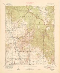
 - 1973 Map of Prescott Valley North, 1976 Print
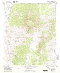
 1973 Prescott Valley North1976 Print · USGSCovers Chino Valley, including Prescott Valley, Yavapai County, and other nearby areas3 unique versions available
 - 1973 Map of Chino Valley South, 1977 Print
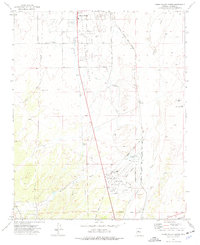 1973 Chino Valley South1977 Print · USGSCovers Chino Valley, including Prescott, Prescott Valley, and other nearby areas2 unique versions available
 - 1979 Map of Sullivan Buttes
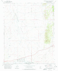
 1979 Sullivan Buttes1979 Print · USGSCovers Chino Valley, including Yavapai County, United States, and other nearby areas3 unique versions available
 - 1979 Map of King Canyon
 1979 King Canyon1979 Print · USGSCovers Chino Valley, including Yavapai County, United States, and other nearby areas3 unique versions available
 - 1979 Map of Chino Valley North
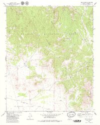
 1979 Chino Valley North1979 Print · USGSCovers Chino Valley, including Yavapai County, United States, and other nearby areas2 unique versions available
 - 1981 Map of Prescott, 1996 Print
 1981 Prescott1996 Print · USGSCovers Chino Valley, including Prescott, Prescott Valley, and other nearby areas2 unique versions available
End of results
Showing maps 1-23 of 23
Top cities near Chino Valley
- Prescott historical maps
- Prescott Valley historical maps
- Williamson historical maps
- Paulden historical maps
Frequently asked questions
- What are the different types of historical maps available for Chino Valley?
- What is the oldest map of Chino Valley?
- Where can I purchase historical maps of Chino Valley for my home or office?
- Where can I download high-res historical maps of Chino Valley?
- Are there historical topographic maps available for Chino Valley?
- Is there historical aerial imagery available for Chino Valley?
- Where are historical maps of Chino Valley sourced from?