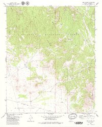
1979 Map of King Canyon
USGS Topo · Published 1979About this map
Verde River drainage and the northern reaches of Lonesome Valley define this landscape within the Prescott National Forest. The map documents a rugged water-management network essential for cattle ranching, featuring numerous catchment basins such as Robert E Tank, Muldoon Tank, and Gold Basin Tank. Historical human activity is marked by an Old Railroad Grade cutting across the southern plains and a set of Ruins situated near the river in the north. The presence of a Prospect near St Matthews Mtn indicates localized mineral exploration. This 1970s survey captures the region just as modern infrastructure, like the prominent Pipeline, began to cross the traditional canyon-and-basin terrain of Wildcat Draw and King Canyon.
Find a feature on this map
34 named features on this map. Tap any name to fly to it.
Don’t see what you’re looking for? This feature index may not catch every label — zoom into the map to look around manually.
Map Details
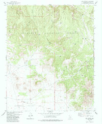
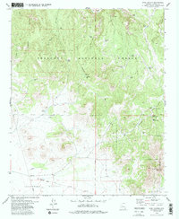
Editions of this 1979 King Canyon Map
3 editions found
Other maps of this area

1887 · Prescott
USGS Topo · 1:250,000

1892 · Prescott
USGS Topo · 1:250,000

1905 · Jerome
USGS Topo · 1:125,000

1944 · Clarkdale
USGS Topo · 1:48,000

1944 · Mingus Mountain
USGS Topo · 1:62,500

1947 · Mingus Mtn
USGS Topo · 1:62,500

1947 · Paulden
USGS Topo · 1:62,500

1947 · Prescott
USGS Topo · 1:62,500

1948 · Prescott
USGS Topo · 1:62,500
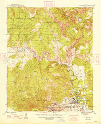
1948 · Clarkdale
USGS Topo · 1:62,500