
1947 Map of Paulden
USGS Topo · Published 1958About this map
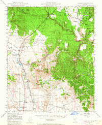
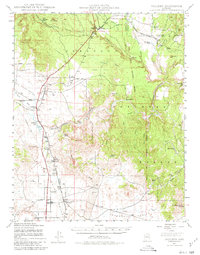
The Prescott National Forest dominates the eastern half of this terrain, where the headwaters of the Verde River emerge near the confluence of Big Chino Wash and Williamson Valley Wash. In the post-war era, the landscape is defined by large ranching operations and the vital transit corridor of the Atchison Topeka and Santa Fe railroad, which snakes through the canyons. Notable ranching landmarks include Del Rio Ranch and the Bar Heart Ranch, reflecting the region's agricultural roots. The presence of the United States Mine and the Cedar Glade Ranger Sta near Drake illustrates the dual economy of resource extraction and forest management. Small settlements like Paulden and Puro serve as local hubs along the rail line and the emerging road network of the Chino Valley.
Find a feature on this map
44 named features on this map. Tap any name to fly to it.
Don’t see what you’re looking for? This feature index may not catch every label — zoom into the map to look around manually.
Map Details
Editions of this 1947 Paulden Map
3 editions found
Other maps of this area

1886 · Chino
USGS Topo · 1:250,000

1887 · Prescott
USGS Topo · 1:250,000

1891 · Chino
USGS Topo · 1:250,000

1892 · Prescott
USGS Topo · 1:250,000

1905 · Jerome
USGS Topo · 1:125,000

1922 · Williams
USGS Topo · 1:125,000

1944 · Clarkdale
USGS Topo · 1:48,000

1944 · Mingus Mountain
USGS Topo · 1:62,500

1947 · Mingus Mtn
USGS Topo · 1:62,500

1947 · Ash Fork
USGS Topo · 1:62,500