Loading...
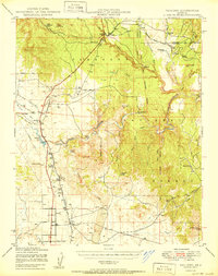
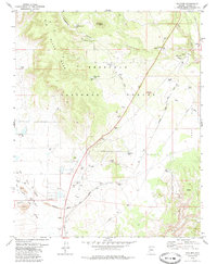
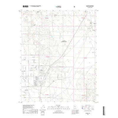
Loading map...1947 Map of Paulden
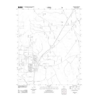
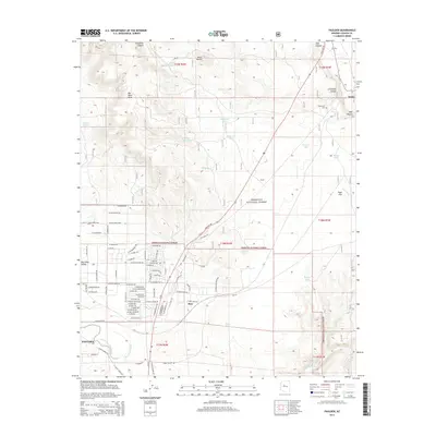
USGS Topo · Published 1980About this map
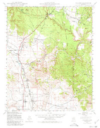
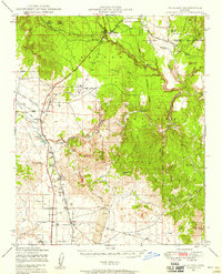
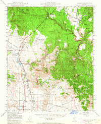
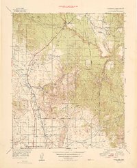
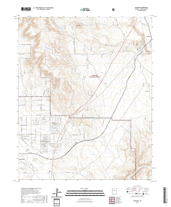
Big Chino Valley serves as a primary corridor for ranching and transport in this Yavapai County landscape, defined by the winding course of the Verde River. The Atchison Topeka and Santa Fe railroad anchors several small settlements and sidings, including Drake, Abra, and Puro. The importance of water management in this arid region is visible through the numerous labeled windmills and localized water sources like Sullivan Lake and Del Rio Water Tank.
Find a feature on this map
50 named features on this map. Tap any name to fly to it.
Don’t see what you’re looking for? This feature index may not catch every label — zoom into the map to look around manually.
Map Details
Date Portrayed1947
Date Published1980
PublisherU.S. Geological Survey
Map TypeTopographic
Scale1:62,500
Physical Dimensions16.9 x 21.6 inches
Editions of this 1947 Paulden Map
3 editions found
Historical Maps of Paulden Through Time
8 maps found
Featured Locations
Source Details
SourceU.S. Geological Survey
CopyrightPublic Domain