2000s (21st Century) Maps of Cottonwood, Arizona
Explore 17 historic maps of Cottonwood from the 2000s (21st Century). These maps offer a rare glimpse into what life looked like during the 2000s — showing old roads, neighborhoods, homes, and landmarks that have changed or disappeared over time.
Whether you're researching your family's past, planning a metal detecting trip, or studying how Cottonwood's landscape evolved across the 2000s, these high-resolution maps are a powerful tool for exploring the history of this region.
- Focus on a specific era: All maps on this page are from the 2000s, giving you a focused view of this time period.
- See what’s changed: Compare century-old streets, trails, and buildings to today's modern landscape using overlays and satellite layers.
- Research with precision: Use these maps for genealogy, historical research, land use analysis, or educational projects.
- View, download, or print: Maps are fully viewable online in high resolution, and can be downloaded or printed for your own records.
Start exploring Cottonwood's history through authentic maps from the 2000s. This is your window into the past.
Cottonwood, AZ maps
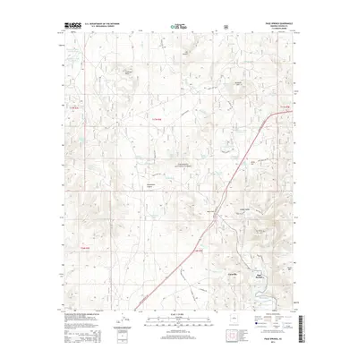
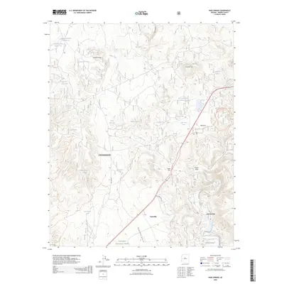
(17)- 2011 Map of Page Springs, 2011 Print
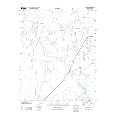 2011 Page Springs2011 Print · USGSCovers Cottonwood, including Yavapai County, United States, and other nearby areas
 - 2012 Map of Cornville, 2012 Print
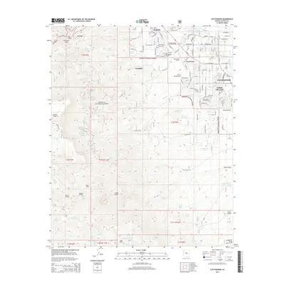
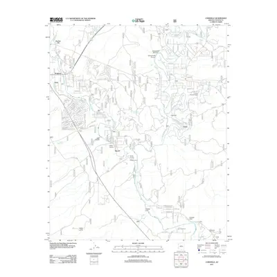 2012 Cornville2012 Print · USGSCovers Cottonwood, including Camp Verde, Bignotti, and other nearby areas
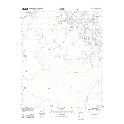
 - 2012 Map of Clarkdale, 2012 Print
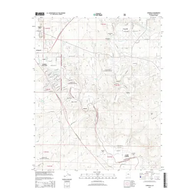
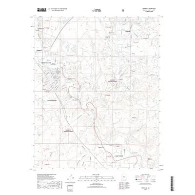
 2012 Clarkdale2012 Print · USGSCovers Cottonwood, including Clarkdale, Jerome, and other nearby areas
 - 2012 Map of Cottonwood, 2012 Print
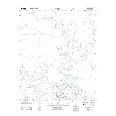
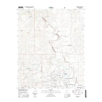
 2012 Cottonwood2012 Print · USGSCovers Cottonwood, including Clarkdale, Jerome, and other nearby areas
 - 2014 Map of Clarkdale, 2014 Print
 2014 Clarkdale2014 Print · USGSCovers Cottonwood, including Clarkdale, Jerome, and other nearby areas
 - 2014 Map of Cottonwood, 2014 Print
 2014 Cottonwood2014 Print · USGSCovers Cottonwood, including Clarkdale, Jerome, and other nearby areas
 - 2014 Map of Page Springs, 2014 Print
 2014 Page Springs2014 Print · USGSCovers Cottonwood, including Yavapai County, United States, and other nearby areas
 - 2014 Map of Cornville, 2014 Print
 2014 Cornville2014 Print · USGSCovers Cottonwood, including Camp Verde, Bignotti, and other nearby areas
 - 2018 Map of Clarkdale, 2018 Print
 2018 Clarkdale2018 Print · USGSCovers Cottonwood, including Clarkdale, Jerome, and other nearby areas
 - 2018 Map of Cottonwood, 2018 Print
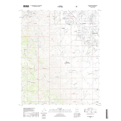 2018 Cottonwood2018 Print · USGSCovers Cottonwood, including Clarkdale, Jerome, and other nearby areas
 - 2018 Map of Page Springs, 2018 Print
 2018 Page Springs2018 Print · USGSCovers Cottonwood, including Yavapai County, United States, and other nearby areas
 - 2018 Map of Cornville, 2018 Print
 2018 Cornville2018 Print · USGSCovers Cottonwood, including Camp Verde, Bignotti, and other nearby areas
 - 2021 Map of Cornville, 2021 Print
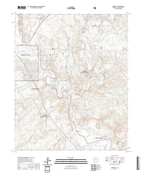 2021 Cornville2021 Print · USGSThe Verde River valley in the early twenty-first century is defined by its historic irrigation ditches and growing valley towns. Trace the evolution of local landmarks like All Souls Cem, the Verde River, and the community of Cornville.
 - 2021 Map of Page Springs, 2021 Print
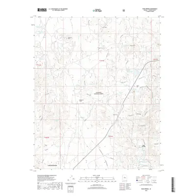
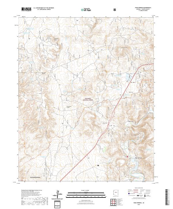 2021 Page Springs2021 Print · USGSPage Springs and the surrounding Verde Valley are documented here in the early twenty-first century as ranching roots meet modern development. Trace historical routes like Lime Kiln Trl and Bones Trl alongside water features such as Spring Ditch and Oak Creek.
 - 2021 Map of Cottonwood, 2021 Print
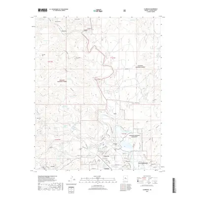
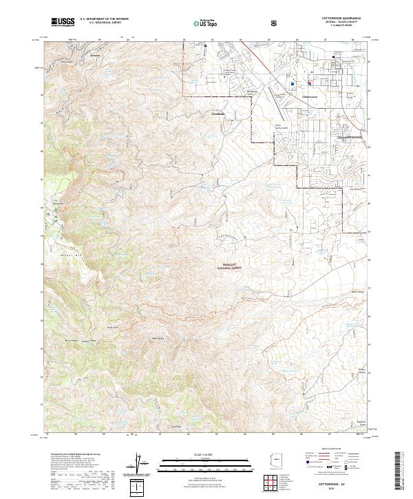 2021 Cottonwood2021 Print · USGSThe Verde Valley and its surrounding highlands come to life in this modern survey of the Cottonwood area. Genealogists and local historians can trace modern development alongside historic landmarks like Cottonwood Cem, Clemenceau, and the winding Cottonwood Ditch.
 - 2021 Map of Clarkdale, 2021 Print
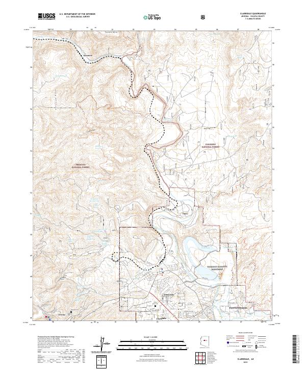 2021 Clarkdale2021 Print · USGSThe Verde Valley and the mining slopes above Jerome come into focus in the early 2020s. Genealogists and local historians can trace legacy sites like the Jerome Cemetery, industrial landmarks such as Hopewell Tunnel, and the ancient ruins of Tuzigoot National Monument.
 - 2026 Map of Page Springs, 2026 Print
 2026 Page Springs2026 Print · USGSCovers Cottonwood, including Yavapai County, United States, and other nearby areas
End of results
Showing maps 1-17 of 17
Top cities near Cottonwood
- Prescott Valley historical maps
- Camp Verde historical maps
- Sedona historical maps
- Dewey-Humboldt historical maps
- Clarkdale historical maps
- Jerome historical maps
Top neighborhoods of Cottonwood
Frequently asked questions
- What are the different types of historical maps available for Cottonwood?
- What is the oldest map of Cottonwood?
- Where can I purchase historical maps of Cottonwood for my home or office?
- Where can I download high-res historical maps of Cottonwood?
- Are there historical topographic maps available for Cottonwood?
- Is there historical aerial imagery available for Cottonwood?
- Where are historical maps of Cottonwood sourced from?