Old Maps of Gillette (Ruins), Arizona for Academic Research
Study the evolution of Gillette (Ruins) with 19 high-resolution historic maps. Whether you're teaching, researching, or modeling changes in land use, these maps provide essential visual documentation of urban, environmental, and geographic change.
- Analyze long-term change: Track patterns in development, transportation, and natural features.
- Ideal for environmental or urban studies: Support academic projects with primary historical map data.
- Use in the classroom or lab: Educators and researchers rely on these maps to bring historical context to life.
These maps are a powerful tool for teaching, research, and visualizing how Gillette (Ruins) has changed over the decades.
Gillette (Ruins), AZ maps
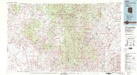
(19)- 1887 Map of Prescott
 1887 Prescott1887 Print · USGSThe central Arizona highlands appear in the territorial era, showing the early development of mining and military outposts. Genealogists can trace family-named sites and vanished camps like Big Bug, Stanton, and the original site of Walnut Grove.
 - 1892 Map of Prescott, 1898 Print
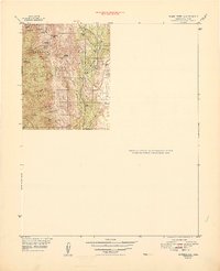
 1892 Prescott1898 Print · USGSCentral Arizona in the late nineteenth century was a territory defined by remote mining camps and military outposts. Genealogists and historians can trace early routes between Prescott and Jerome, locating vanished names like Meersville and Bumble-bee.5 unique versions available
 - 1903 Map of Bradshaw Mountains
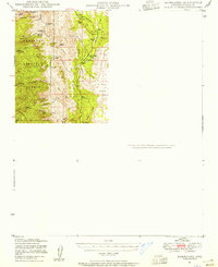
 1903 Bradshaw Mountains1903 Print · USGSArizona's mining heartland comes into focus during the territorial era as high-altitude camps and smelters reached their peak. Trace the early footprints of Crown King, Walker, and Tiptop alongside the winding route of the Prescott and Eastern R.R.4 unique versions available
 - 1947 Map of Bumblebee, 1955 Print
 1947 Bumblebee1955 Print · USGSArizona's mining heart is on full display in the late 1940s within the rugged Bradshaw Mountains and Prescott National Forest. Genealogists and historians can trace the foundations of Poland and Bumblebee or locate legacy claims like the Thunderbolt Mine and 88 Mine.2 unique versions available
 - 1948 Map of Bumblebee
 1948 Bumblebee1948 Print · USGSYavapai County mining camps and ranching outposts are documented in this post-war survey of the Bradshaw Mountains. Researchers can trace the locations of the Thunderbolt Mine, the settlement of Bumblebee, and historic sites like Cordes Cabin and Poland.
 - 1950 Map of Bumblebee
 1950 Bumblebee1950 Print · USGSMining operations and remote settlements define this central Arizona landscape during the late nineteen-forties. Researchers can trace the era's mineral wealth through sites like the Thunderbolt Mine and Howard Copper Mine, or locate family landmarks near Bumblebee and Poland.
 - 1950 Map of Prescott, 1951 Print
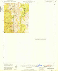
 1950 Prescott1951 Print · USGSArizona's mining and ranching frontiers were in full operation during the early fifties, from the vertical streets of Jerome to the remote western desert. Genealogists and researchers can trace rural life via the Bland School, the United Verde Mine, and stops along the Atchison Topeka and Santa Fe Railway.
 - 1954 Map of Prescott, 1963 Print
 1954 Prescott1963 Print · USGSYavapai County mining and ranching districts are shown in high detail during the mid-twentieth century. Researchers can trace the legacy of remote camps and transport hubs like Swansea, Octave, and the Bagdad Mine along the desert rail lines.4 unique versions available
 - 1958 Map of Prescott
 1958 Prescott1958 Print · USGSCentral Arizona's rugged mining and ranching corridors come alive in the late fifties. Genealogists and historians can trace the remote Trout Creek School, the mining operations at Jerome, and the rail stops at Skull Valley and Kirkland.
 - 1959 Map of Prescott
 1959 Prescott1959 Print · USGSYavapai County and the central Arizona highlands come alive in the late fifties, showcasing a landscape of mountain mining towns and forest outposts. Researchers can trace the industrial footprints of the United Verde Mine, follow the Atchison Topeka and Santa Fe rails, and locate remote settlements like Swansea or Skull Valley.2 unique versions available
 - 1960 Map of Prescott
 1960 Prescott1960 Print · USGSYavapai County and the surrounding high-desert mining districts are captured here during a period of steady industrial and rail activity. Researchers can trace the routes of the Atchison Topeka and Santa Fe Railway and locate historic sites like the United Verde Mine and Bland School.2 unique versions available
 - 1965 Map of Prescott
 1965 Prescott1965 Print · USGSArizona's mining heartland is captured during the mid-sixties, from the copper mines of Jerome to the cattle country of Williamson Valley Wash. Genealogists and historians can trace old mining camps at Octave and Stanton or the historic Whipple Military Reservation.
 - 1969 Map of Black Canyon City, 1973 Print
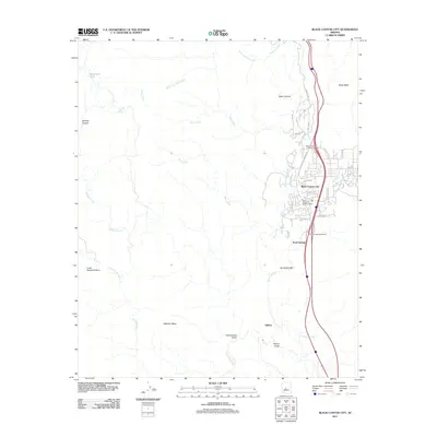
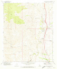 1969 Black Canyon City1973 Print · USGSThe high desert canyons north of Phoenix come alive in this late-sixties study of the transition from mining outposts to roadside communities. Genealogists and historians can trace the foundations of Black Canyon City and Rock Springs, or locate the Gillette (Ruins) and Maggie Mine.
 - 1981 Map of Bradshaw Mts, 1996 Print
 1981 Bradshaw Mts1996 Print · USGSYavapai County during the early 1980s reveals a high-desert landscape shaped by mining camps and the winding Atchison Topeka and Santa Fe railroad. Researchers can trace historic industrial sites like the Crown King Mine and remote settlements such as Bumble Bee and Cleator.2 unique versions available
 - 2011 Map of Black Canyon City, 2011 Print
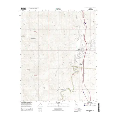
 2011 Black Canyon City2011 Print · USGSCovers Gillette (Ruins), including Black Canyon City, Maricopa County, and other nearby areas
 - 2014 Map of Black Canyon City, 2014 Print
 2014 Black Canyon City2014 Print · USGSCovers Gillette (Ruins), including Black Canyon City, Maricopa County, and other nearby areas
 - 2018 Map of Black Canyon City, 2018 Print
 2018 Black Canyon City2018 Print · USGSCovers Gillette (Ruins), including Black Canyon City, Maricopa County, and other nearby areas
 - 2021 Map of Black Canyon City, 2021 Print
 2021 Black Canyon City2021 Print · USGSCovers Gillette (Ruins), including Black Canyon City, Maricopa County, and other nearby areas
 - 2023 Map of Black Canyon City, 2023 Print
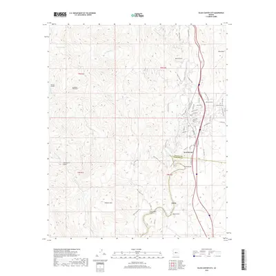
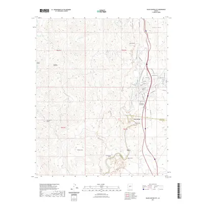
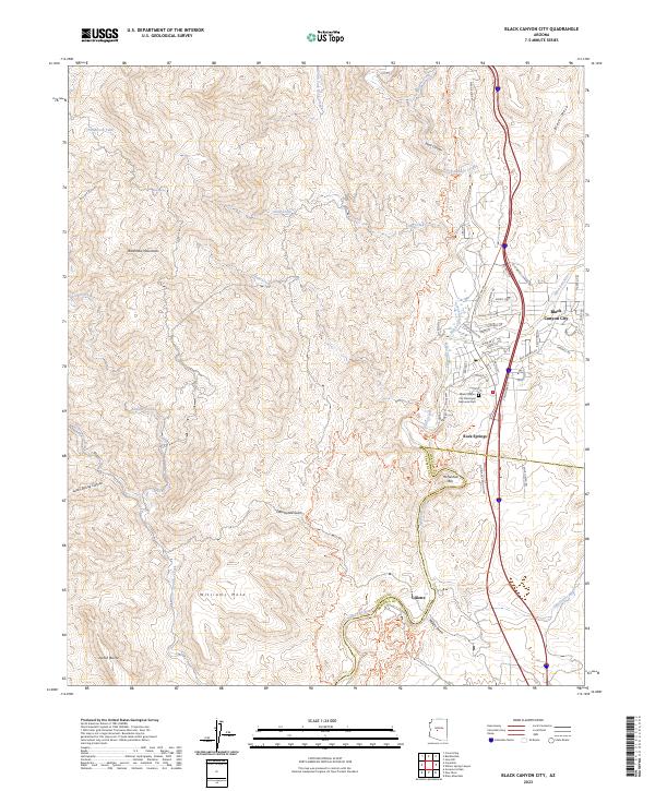 2023 Black Canyon City2023 Print · USGSBlack Canyon City and the Agua Fria River valley are shown in contemporary detail as the landscape transitions from the Bradshaw Mountains to the national monument. Researchers can trace the layout of Rock Springs, the site of Gillette, and the winding path of the Old Black Canyon Hwy.
End of results
Showing maps 1-19 of 19
Top cities near Gillette (Ruins)
- Phoenix historical maps
- Scottsdale historical maps
- Peoria historical maps
- Surprise historical maps
- Anthem historical maps
- Cave Creek historical maps
See more
Frequently asked questions
- What are the different types of historical maps available for Gillette (Ruins)?
- What is the oldest map of Gillette (Ruins)?
- Where can I purchase historical maps of Gillette (Ruins) for my home or office?
- Where can I download high-res historical maps of Gillette (Ruins)?
- Are there historical topographic maps available for Gillette (Ruins)?
- Is there historical aerial imagery available for Gillette (Ruins)?
- Where are historical maps of Gillette (Ruins) sourced from?