2000s (21st Century) Maps of Martinez Lake, Arizona
Explore 5 historic maps of Martinez Lake from the 2000s (21st Century). These maps offer a rare glimpse into what life looked like during the 2000s — showing old roads, neighborhoods, homes, and landmarks that have changed or disappeared over time.
Whether you're researching your family's past, planning a metal detecting trip, or studying how Martinez Lake's landscape evolved across the 2000s, these high-resolution maps are a powerful tool for exploring the history of this region.
- Focus on a specific era: All maps on this page are from the 2000s, giving you a focused view of this time period.
- See what’s changed: Compare century-old streets, trails, and buildings to today's modern landscape using overlays and satellite layers.
- Research with precision: Use these maps for genealogy, historical research, land use analysis, or educational projects.
- View, download, or print: Maps are fully viewable online in high resolution, and can be downloaded or printed for your own records.
Start exploring Martinez Lake's history through authentic maps from the 2000s. This is your window into the past.
Martinez Lake, AZ maps
(5)- 2011 Map of Imperial Reservoir, 2011 Print
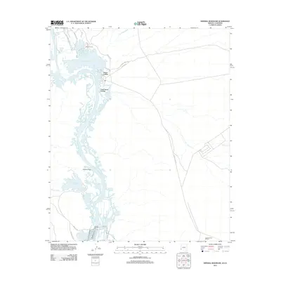 2011 Imperial Reservoir2011 Print · USGSCovers Martinez Lake, including Castle Dome Landing, Hidden Shores Village, and other nearby areas
 - 2014 Map of Imperial Reservoir, 2014 Print
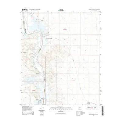 2014 Imperial Reservoir2014 Print · USGSCovers Martinez Lake, including Castle Dome Landing, Hidden Shores Village, and other nearby areas
 - 2018 Map of Imperial Reservoir, 2018 Print
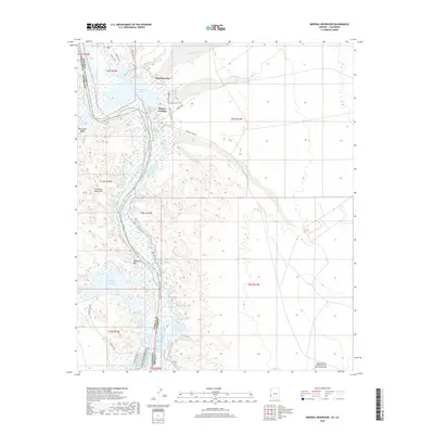 2018 Imperial Reservoir2018 Print · USGSCovers Martinez Lake, including Castle Dome Landing, Hidden Shores Village, and other nearby areas
 - 2021 Map of Imperial Reservoir, 2021 Print
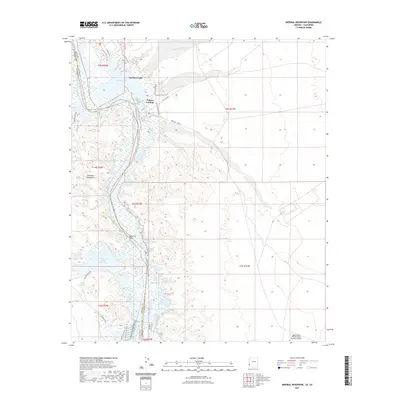 2021 Imperial Reservoir2021 Print · USGSCovers Martinez Lake, including Castle Dome Landing, Hidden Shores Village, and other nearby areas
 - 2023 Map of Imperial Reservoir, 2023 Print
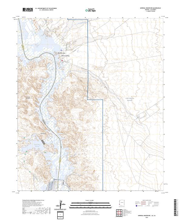 2023 Imperial Reservoir2023 Print · USGSThe Lower Colorado River borderlands in the early 2020s are a complex landscape of water engineering and protected wilderness. Modern researchers can trace the developed waterfronts at Martinez Lake and Fishers Landing alongside the massive military boundaries of the Yuma Proving Ground.
End of results
Showing maps 1-5 of 5
Frequently asked questions
- What are the different types of historical maps available for Martinez Lake?
- What is the oldest map of Martinez Lake?
- Where can I purchase historical maps of Martinez Lake for my home or office?
- Where can I download high-res historical maps of Martinez Lake?
- Are there historical topographic maps available for Martinez Lake?
- Is there historical aerial imagery available for Martinez Lake?
- Where are historical maps of Martinez Lake sourced from?