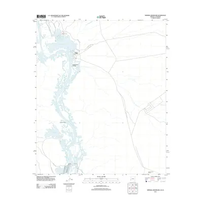
2011 Map of Imperial Reservoir
USGS Topo · Published 2011About this map
The Colorado River defines the landscape of this 2011 survey, meandering through a complex network of wetlands and backwaters that include Martinez Lake and the Imperial Reservoir. This region is a critical intersection of water management and recreation, evidenced by the clustered settlements at Fishers Landing and Castle Dome Landing along the riverbanks. The map illustrates how human infrastructure has adapted to the desert environment, with the Imperial Dam Rd and Senator Wash Reservoir providing essential water control near the southern reach of the sheet.
Find a feature on this map
25 named features on this map. Tap any name to fly to it.
Don’t see what you’re looking for? This feature index may not catch every label — zoom into the map to look around manually.
Map Details
Editions of this 2011 Imperial Reservoir Map
This is the sole edition of this map. No revisions or reprints were ever made.
Other maps of this area

1903 · Yuma
USGS Topo · 1:125,000

1905 · Yuma
USGS Topo · 1:125,000

1929 · Laguna
USGS Topo · 1:62,500

1939 · Red Hill
USGS Topo · 1:62,500

1942 · Yuma
USGS Topo · 1:250,000

1942 · Blythe
USGS Topo · 1:250,000

1943 · Laguna
USGS Topo · 1:62,500

1945 · Picacho Peak
USGS Topo · 1:62,500

1945 · Picacho
USGS Topo · 1:62,500

1951 · Picacho
USGS Topo · 1:62,500