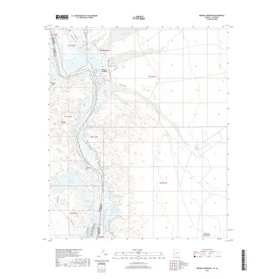
2018 Map of Imperial Reservoir
USGS Topo · Published 2018About this map
Martinez Lake and Fishers Landing serve as the primary human touchpoints along the eastern bank of the Colorado River in this modern survey of the borderlands. The landscape is defined by massive water management projects and military reservation boundaries, with the Imperial Reservoir and Senator Wash Reservoir dominating the southern half of the sheet. These engineered waters sit in sharp contrast to the surrounding desert terrain, where features like the Chocolate Mountains and Explorers Pass rise above the river valley. The infrastructure of the Gila Main Canal and roads such as Red Cloud Mine Rd and Wildlife Refuge Rd illustrate the area's continued importance for irrigation, transit, and conservation. In the southeast, the Laguna Army Airfield marks the presence of the Yuma Proving Ground, emphasizing the strategic utility of this arid expanse.
Find a feature on this map
32 named features on this map. Tap any name to fly to it.
Don’t see what you’re looking for? This feature index may not catch every label — zoom into the map to look around manually.
Map Details
Editions of this 2018 Imperial Reservoir Map
This is the sole edition of this map. No revisions or reprints were ever made.
Other maps of this area

1903 · Yuma
USGS Topo · 1:125,000

1905 · Yuma
USGS Topo · 1:125,000

1929 · Laguna
USGS Topo · 1:62,500

1939 · Red Hill
USGS Topo · 1:62,500

1942 · Yuma
USGS Topo · 1:250,000

1942 · Blythe
USGS Topo · 1:250,000

1943 · Laguna
USGS Topo · 1:62,500

1945 · Picacho Peak
USGS Topo · 1:62,500

1945 · Picacho
USGS Topo · 1:62,500

1951 · Picacho
USGS Topo · 1:62,500