Old Maps of Gillett, Arkansas for Metal Detecting
Plan your next treasure hunt with 31 historic maps of Gillett. Find old homesites, ghost towns, trails, and gathering spots that may be lost to time — perfect for identifying promising metal detecting locations.
- Locate forgotten sites: Uncover places like long-lost settlements, abandoned rail lines, or gathering spots.
- Plan better hunts: Use map overlays combined with LiDAR or satellite views to narrow in on historically rich areas.
- Made for detectorists: Thousands of hobbyists use these maps to discover relics, coins, and hidden history.
Use these historic maps to boost your research and find new opportunities beneath the surface of Gillett.
Gillett, AR maps
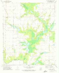
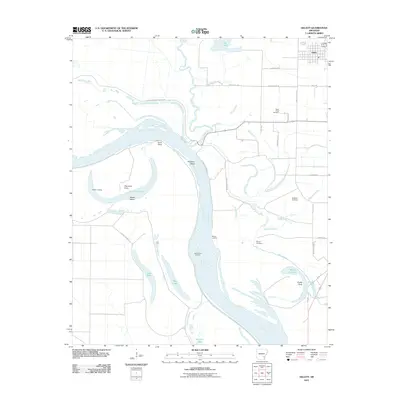
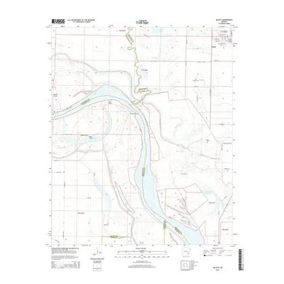
(31)- 1935 Map of Gillett, 1945 Print
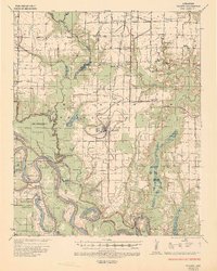 1935 Gillett1945 Print · USGSThe river plains around Gillett were defined by the shifting Arkansas River and the arrival of the railroad in the 1930s. Genealogists can locate family landmarks like Luther Cem, Hostetter Sch, and the remote One Horse Store.2 unique versions available
 - 1948 Map of Helena
 1948 Helena1948 Print · USGSEastern Arkansas and the Mississippi Delta are captured here just after the war, showing a landscape defined by its great rivers and rail lines. Genealogists can trace family locations near Bemis Plantation, Helena, and smaller rail stops like Wheatley and Moro.
 - 1950 Map of Helena
 1950 Helena1950 Print · USGSMid-century Phillips County and the surrounding Delta region are shown at a peak of rail and river commerce. Genealogists and historians can trace family locations through numerous rural communities like Old Austin, Cotton Plant, and West Helena, or follow the routes of the Missouri Pacific RR across Grand Prairie.2 unique versions available
 - 1955 Map of Helena, 1967 Print
 1955 Helena1967 Print · USGSThe Arkansas Delta and Mississippi floodplains are captured here in the mid-fifties, during a period of expanding flood control and rail commerce. Researchers can trace the extensive Chicago Rock Island and Pacific RR lines and locate sites like the Arkansas State College Experimental Rice Farm or Friars Point.2 unique versions available
 - 1959 Map of Helena
 1959 Helena1959 Print · USGSThe Arkansas and Mississippi Delta regions are captured here in the late fifties, showing a landscape defined by the Mississippi River and the Grand Prairie. Genealogists and researchers can trace the rail networks of the Illinois Central RR and locate community landmarks like Helena and the White River National Wildlife Refuge.
 - 1960 Map of Helena
 1960 Helena1960 Print · USGSThe Arkansas and Mississippi Delta regions meet along the great river bends during a period of significant agricultural and rail expansion. Genealogists and historians can trace the paths of the Missouri Pacific railroad through Clarendon or locate landings along the Mississippi River and White River.
 - 1972 Map of Arkansas Post, 1974 Print
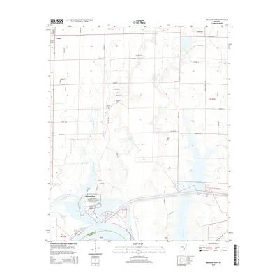
 1972 Arkansas Post1974 Print · USGSArkansas County in the early seventies preserves a landscape defined by its river history and deep family roots. Genealogists and researchers can locate several remote burial grounds like Champion Cem and landmarks such as the Arkansas Post National Memorial and the County Museum.
 - 1972 Map of Gillett, 1974 Print
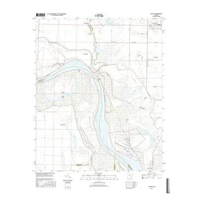
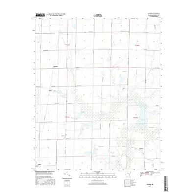
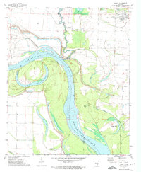 1972 Gillett1974 Print · USGSThe Arkansas River meanders through the delta in the early 1970s, shaping the borders of four counties at the confluence of several major bayous. Researchers can locate family landmarks like St Pauls Cem and Moore Cem or trace old river channels at Taylor Old River.
 - 1972 Map of Tichnor, 1974 Print
 1972 Tichnor1974 Print · USGSArkansas County’s delta landscape is captured here in the early 1970s, showcasing a network of agricultural flumes and bayous. Researchers can trace the St Louis Southwestern rail line through Indiana Spur or locate local landmarks like Lone Star Ch and Childers Cem.
 - 1972 Map of One Horse Store, 1974 Print
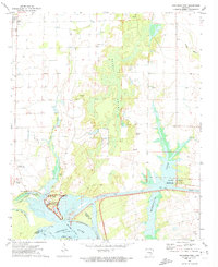
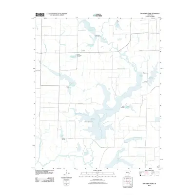
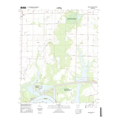
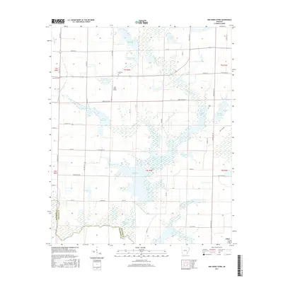
 1972 One Horse Store1974 Print · USGSThe Arkansas Delta comes alive in the early seventies, where the local economy revolves around the winding waters of Meto Bayou. Family historians and researchers can locate landmarks like One Horse Store, Van Camp Cem, and the specialized system of Sollars Reservoir.
 - 1986 Map of De Witt
 1986 De Witt1986 Print · USGSThe Arkansas Delta in the mid-1980s was a landscape defined by massive river locks, state prison farms, and the rail-side grain towns of Arkansas County. Researchers can trace the path of the St Louis Southwestern Railway through settlements like De Witt, Altheimer, and Humphrey.2 unique versions available
 - 2011 Map of Arkansas Post, 2011 Print
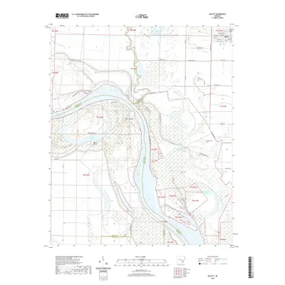
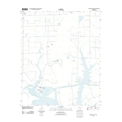 2011 Arkansas Post2011 Print · USGSCovers Gillett, including Arkansas Post, Arkansas County, and other nearby areas
 - 2011 Map of Tichnor, 2011 Print
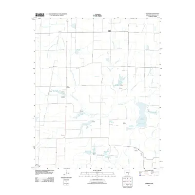 2011 Tichnor2011 Print · USGSCovers Gillett, including Hyden, Mayview, and other nearby areas
 - 2011 Map of Gillett, 2011 Print
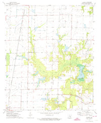
 2011 Gillett2011 Print · USGSCovers Gillett, including Jefferson County, Arkansas County, and other nearby areas
 - 2011 Map of One Horse Store, 2011 Print
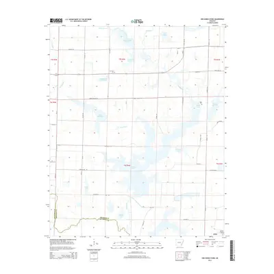
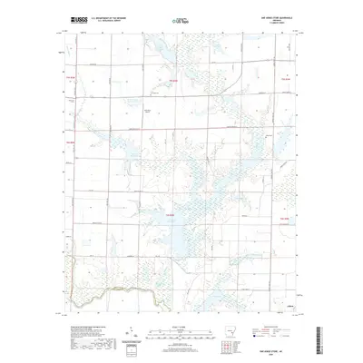
 2011 One Horse Store2011 Print · USGSCovers Gillett, including Jefferson County, Arkansas County, and other nearby areas
 - 2014 Map of One Horse Store, 2014 Print
 2014 One Horse Store2014 Print · USGSCovers Gillett, including Jefferson County, Arkansas County, and other nearby areas
 - 2014 Map of Tichnor, 2014 Print
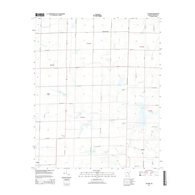 2014 Tichnor2014 Print · USGSCovers Gillett, including Hyden, Mayview, and other nearby areas
 - 2014 Map of Gillett, 2014 Print
 2014 Gillett2014 Print · USGSCovers Gillett, including Jefferson County, Arkansas County, and other nearby areas
 - 2014 Map of Arkansas Post, 2014 Print
 2014 Arkansas Post2014 Print · USGSCovers Gillett, including Arkansas Post, Arkansas County, and other nearby areas
 - 2017 Map of Gillett, 2017 Print
 2017 Gillett2017 Print · USGSCovers Gillett, including Jefferson County, Arkansas County, and other nearby areas
 - 2017 Map of Arkansas Post, 2017 Print
 2017 Arkansas Post2017 Print · USGSCovers Gillett, including Arkansas Post, Arkansas County, and other nearby areas
 - 2017 Map of Tichnor, 2017 Print
 2017 Tichnor2017 Print · USGSCovers Gillett, including Hyden, Mayview, and other nearby areas
 - 2017 Map of One Horse Store, 2017 Print
 2017 One Horse Store2017 Print · USGSCovers Gillett, including Jefferson County, Arkansas County, and other nearby areas
 - 2020 Map of One Horse Store, 2020 Print
 2020 One Horse Store2020 Print · USGSCovers Gillett, including Jefferson County, Arkansas County, and other nearby areas
 - 2020 Map of Gillett, 2020 Print
 2020 Gillett2020 Print · USGSCovers Gillett, including Jefferson County, Arkansas County, and other nearby areas
Showing maps 1-25 of 31
Top cities near Gillett
- Dumas historical maps
- De Witt historical maps
- DeWitt historical maps
- Gould historical maps
- Mitchellville historical maps
- Watson historical maps
Frequently asked questions
- What are the different types of historical maps available for Gillett?
- What is the oldest map of Gillett?
- Where can I purchase historical maps of Gillett for my home or office?
- Where can I download high-res historical maps of Gillett?
- Are there historical topographic maps available for Gillett?
- Is there historical aerial imagery available for Gillett?
- Where are historical maps of Gillett sourced from?