Old Maps of Chicot County, Arkansas
Explore 41 old maps of Chicot County, spanning from 1933 to today. These high-resolution historic maps reveal how streets, neighborhoods, landmarks, and natural features evolved over time — perfect for genealogy, metal detecting, research, and local history exploration.
What you can do with these maps:
- See how Chicot County changed over time: Compare historical maps to modern-day views to trace roads, homesites, rail lines & more.
- View detailed metadata: Each map includes creators, publishers, year, scale, and archive source.
- Overlay maps with satellite & LiDAR: Visualize the past alongside modern tools to explore terrain & human change.
- Trusted historical sources: Maps sourced from the USGS, Library of Congress, and other archives.
- Access maps your way: View online, download high-res files, or order prints for personal or research use.
Start exploring old maps of Chicot County to uncover forgotten places, hidden landmarks, and the deep history beneath your feet.
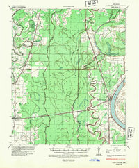
Chicot County, AR maps
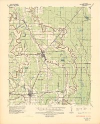
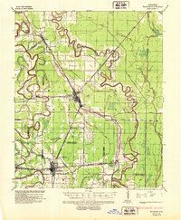
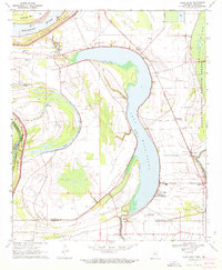
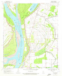
(41)- 1933 Map of Lamont
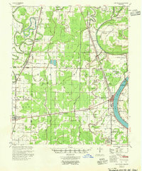
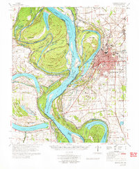
 1933 Lamont1933 Print · USGSCovers Chicot County, including Benoit, Arkansas City, and other nearby areas
 - 1936 Map of McGehee, 1937 Print
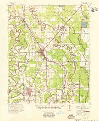
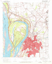
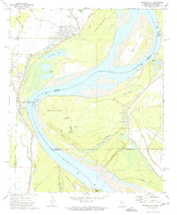
 1936 McGehee1937 Print · USGSCovers Chicot County, including McGehee, Dermott, and other nearby areas
 - 1936 Map of Eudora, 1943 Print
 1936 Eudora1943 Print · USGSCovers Chicot County, including Eudora, Portland, and other nearby areas
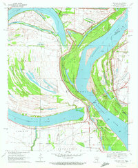
 - 1936 Map of Lake Village, 1949 Print
 1936 Lake Village1949 Print · USGSCovers Chicot County, including Lake Village, Montrose, and other nearby areas2 unique versions available
 - 1937 Map of McGehee, 1952 Print
 1937 McGehee1952 Print · USGSCovers Chicot County, including McGehee, Dermott, and other nearby areas
 - 1939 Map of Readland, 1942 Print
 1939 Readland1942 Print · USGSCovers Chicot County, including Chatham, James, and other nearby areas3 unique versions available
 - 1939 Map of Refuge, 1949 Print
 1939 Refuge1949 Print · USGSCovers Chicot County, including Greenville, Metcalfe, and other nearby areas4 unique versions available
 - 1939 Map of Lamont, 1961 Print
 1939 Lamont1961 Print · USGSCovers Chicot County, including Benoit, Arkansas City, and other nearby areas3 unique versions available
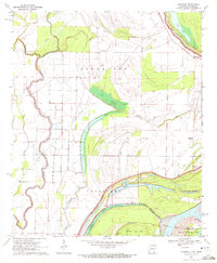
 - 1953 Map of Greenwood, 1966 Print
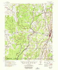
 1953 Greenwood1966 Print · USGSCovers Chicot County, including Greenville, Greenwood, and other nearby areas5 unique versions available
 - 1955 Map of Lake Village
 1955 Lake Village1955 Print · USGSCovers Chicot County, including Lake Village, Montrose, and other nearby areas2 unique versions available
 - 1955 Map of McGehee
 1955 McGehee1955 Print · USGSCovers Chicot County, including McGehee, Dermott, and other nearby areas
 - 1956 Map of Greenwood
 1956 Greenwood1956 Print · USGSCovers Chicot County, including Greenville, Greenwood, and other nearby areas
 - 1957 Map of Eudora
 1957 Eudora1957 Print · USGSCovers Chicot County, including Eudora, Portland, and other nearby areas2 unique versions available
 - 1970 Map of Luna, 1971 Print
 1970 Luna1971 Print · USGSCovers Chicot County, including Dewey, Luna, and other nearby areas2 unique versions available
 - 1970 Map of Glen Allan, 1972 Print
 1970 Glen Allan1972 Print · USGSCovers Chicot County, including Chatham, Leota, and other nearby areas
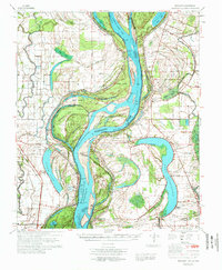
 - 1970 Map of Greenville, 1972 Print
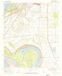
 1970 Greenville1972 Print · USGSCovers Chicot County, including Greenville, Metcalfe, and other nearby areas2 unique versions available
 - 1970 Map of Wayside, 1972 Print
 1970 Wayside1972 Print · USGSCovers Chicot County, including Greenville, Wayside, and other nearby areas
 - 1970 Map of Readland, 1972 Print
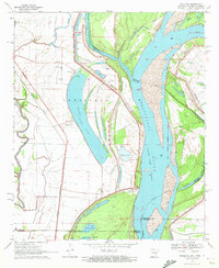 1970 Readland1972 Print · USGSCovers Chicot County, including Grand Lake, Readland, and other nearby areas
 - 1970 Map of Avon, 1972 Print
 1970 Avon1972 Print · USGSCovers Chicot County, including James, Avon, and other nearby areas
 - 1970 Map of Red Leaf, 1972 Print
 1970 Red Leaf1972 Print · USGSCovers Chicot County, including Greenville, Refuge, and other nearby areas2 unique versions available
 - 1970 Map of Eminence, 1972 Print
 1970 Eminence1972 Print · USGSCovers Chicot County, including Lakeport, Eminence, and other nearby areas2 unique versions available
 - 1972 Map of Readland
 1972 Readland1972 Print · USGSCovers Chicot County, including Chatham, James, and other nearby areas
 - 1972 Map of Greenville
 1972 Greenville1972 Print · USGSCovers Chicot County, including Greenville, Metcalfe, and other nearby areas
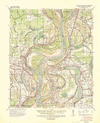
 - 1972 Map of Arkansas City, 1974 Print
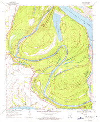
 1972 Arkansas City1974 Print · USGSCovers Chicot County, including Arkansas City, Mound Landing, and other nearby areas
 - 1975 Map of Lake Village NW, 1976 Print
 1975 Lake Village NW1976 Print · USGSCovers Chicot County, including Jerome, Hudspeth, and other nearby areas
Showing maps 1-25 of 41
Top cities of Chicot County
Frequently asked questions
- What are the different types of historical maps available for Chicot County?
- What is the oldest map of Chicot County?
- Where can I purchase historical maps of Chicot County for my home or office?
- Where can I download high-res historical maps of Chicot County?
- Are there historical topographic maps available for Chicot County?
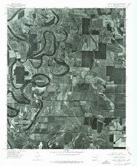
- Is there historical aerial imagery available for Chicot County?
- Where are historical maps of Chicot County sourced from?