2000s (21st Century) Maps of Magnolia, Arkansas
Explore 16 historic maps of Magnolia from the 2000s (21st Century). These maps offer a rare glimpse into what life looked like during the 2000s — showing old roads, neighborhoods, homes, and landmarks that have changed or disappeared over time.
Whether you're researching your family's past, planning a metal detecting trip, or studying how Magnolia's landscape evolved across the 2000s, these high-resolution maps are a powerful tool for exploring the history of this region.
- Focus on a specific era: All maps on this page are from the 2000s, giving you a focused view of this time period.
- See what’s changed: Compare century-old streets, trails, and buildings to today's modern landscape using overlays and satellite layers.
- Research with precision: Use these maps for genealogy, historical research, land use analysis, or educational projects.
- View, download, or print: Maps are fully viewable online in high resolution, and can be downloaded or printed for your own records.
Start exploring Magnolia's history through authentic maps from the 2000s. This is your window into the past.
Magnolia, AR maps
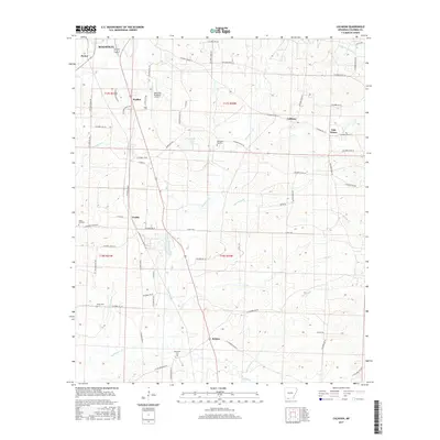
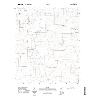
(16)- 2000 Map of Magnolia, 2002 Print
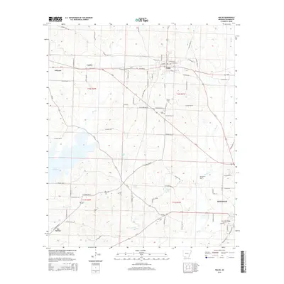
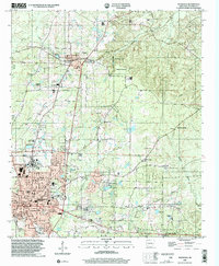 2000 Magnolia2002 Print · USGSMagnolia and the surrounding Columbia County countryside are documented here at the turn of the millennium, showing a landscape defined by higher education and the energy industry. Researchers can find Southern State College, the Louisiana and Northwest RR, and the extensive Magnolia Oil and Gas Field.
 - 2011 Map of Calhoun, 2011 Print
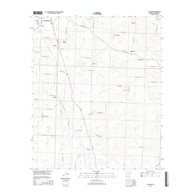
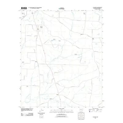 2011 Calhoun2011 Print · USGSCovers Magnolia, including Calhoun, Partee, and other nearby areas
 - 2011 Map of Magnolia, 2011 Print
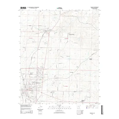
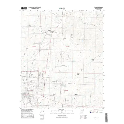
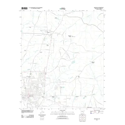 2011 Magnolia2011 Print · USGSCovers Magnolia, including McNeil, Magnesia Springs, and other nearby areas
 - 2011 Map of Waldo, 2011 Print
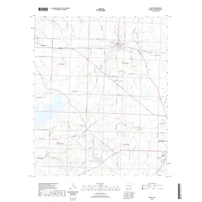
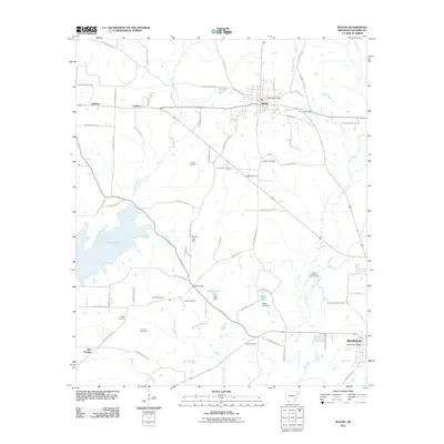 2011 Waldo2011 Print · USGSCovers Magnolia, including Waldo, Lumber, and other nearby areas
 - 2014 Map of Waldo, 2014 Print
 2014 Waldo2014 Print · USGSCovers Magnolia, including Waldo, Lumber, and other nearby areas
 - 2014 Map of Calhoun, 2014 Print
 2014 Calhoun2014 Print · USGSCovers Magnolia, including Calhoun, Partee, and other nearby areas
 - 2014 Map of Magnolia, 2014 Print
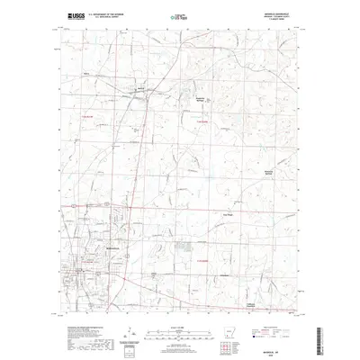
 2014 Magnolia2014 Print · USGSCovers Magnolia, including McNeil, Magnesia Springs, and other nearby areas
 - 2017 Map of Waldo, 2017 Print
 2017 Waldo2017 Print · USGSCovers Magnolia, including Waldo, Lumber, and other nearby areas
 - 2017 Map of Calhoun, 2017 Print
 2017 Calhoun2017 Print · USGSCovers Magnolia, including Calhoun, Partee, and other nearby areas
 - 2017 Map of Magnolia, 2017 Print
 2017 Magnolia2017 Print · USGSCovers Magnolia, including McNeil, Magnesia Springs, and other nearby areas
 - 2020 Map of Magnolia, 2020 Print
 2020 Magnolia2020 Print · USGSCovers Magnolia, including McNeil, Magnesia Springs, and other nearby areas
 - 2020 Map of Waldo, 2020 Print
 2020 Waldo2020 Print · USGSCovers Magnolia, including Waldo, Lumber, and other nearby areas
 - 2020 Map of Calhoun, 2020 Print
 2020 Calhoun2020 Print · USGSCovers Magnolia, including Calhoun, Partee, and other nearby areas
 - 2024 Map of Waldo, 2024 Print
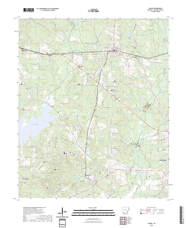 2024 Waldo2024 Print · USGSWaldo and the surrounding Columbia County countryside are detailed here during the mid-2020s. Researchers can locate numerous local landmarks including Cedar Grove Cem, Lake Columbia, and the small settlement of Box Springs.
 - 2024 Map of Calhoun, 2024 Print
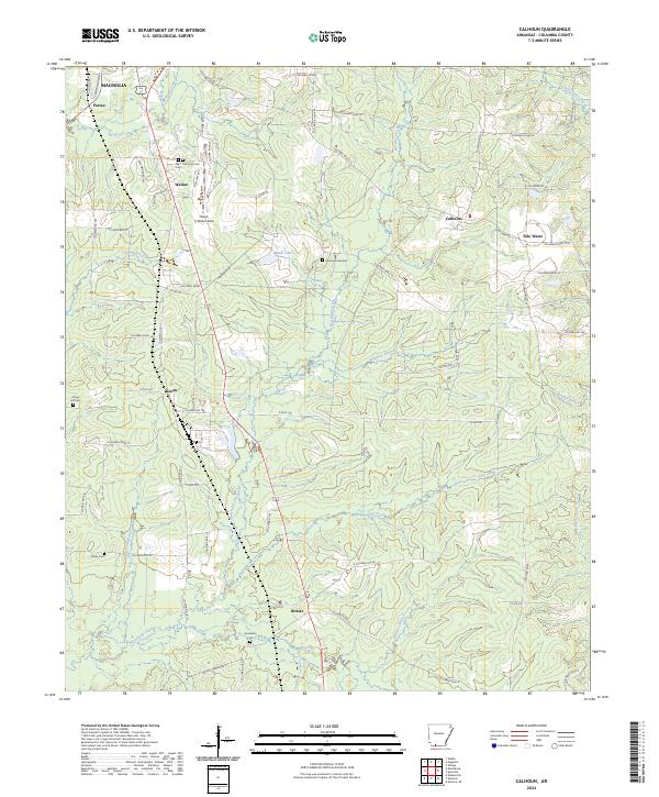 2024 Calhoun2024 Print · USGSThe rural landscape of Columbia County comes into focus as it appeared in the early 2020s. Genealogists and historians can trace family locations near Brister, Kerlin, and West Plainview Cem Cem, or follow the waters of Horsehead Creek.
 - 2024 Map of Magnolia, 2024 Print
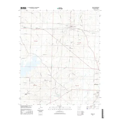
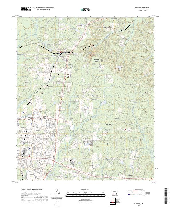 2024 Magnolia2024 Print · USGSMagnolia and the surrounding Columbia County timberlands are shown in detail during the early twenty-first century. Genealogists and local historians can trace family locations at Magnolia Cem, Hartsfield Cem, and the old settlement at McNeil.
End of results
Showing maps 1-16 of 16
Top cities near Magnolia
- Waldo historical maps
- Stephens historical maps
- McNeil historical maps
- Taylor historical maps
- Buckner historical maps
- Emerson historical maps
Top neighborhoods of Magnolia
Frequently asked questions
- What are the different types of historical maps available for Magnolia?
- What is the oldest map of Magnolia?
- Where can I purchase historical maps of Magnolia for my home or office?
- Where can I download high-res historical maps of Magnolia?
- Are there historical topographic maps available for Magnolia?
- Is there historical aerial imagery available for Magnolia?
- Where are historical maps of Magnolia sourced from?