Old Maps of Magnolia, Arkansas for Metal Detecting
Plan your next treasure hunt with 25 historic maps of Magnolia. Find old homesites, ghost towns, trails, and gathering spots that may be lost to time — perfect for identifying promising metal detecting locations.
- Locate forgotten sites: Uncover places like long-lost settlements, abandoned rail lines, or gathering spots.
- Plan better hunts: Use map overlays combined with LiDAR or satellite views to narrow in on historically rich areas.
- Made for detectorists: Thousands of hobbyists use these maps to discover relics, coins, and hidden history.
Use these historic maps to boost your research and find new opportunities beneath the surface of Magnolia.
Magnolia, AR maps
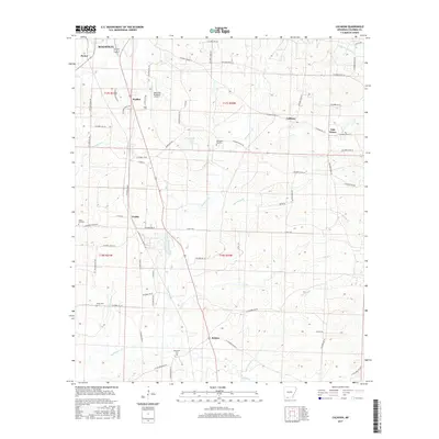
(25)- 1953 Map of El Dorado, 1967 Print
 1953 El Dorado1967 Print · USGSSouth Arkansas in the mid-1960s was a landscape of industrial growth and river-fed commerce. Researchers can trace the extensive Oil and Gas Fields around Magnolia, the expansive U S Naval Ammunition Depot, and the busy rail lines of the Missouri Pacific.3 unique versions available
 - 1957 Map of El Dorado
 1957 El Dorado1957 Print · USGSSouth Arkansas in the mid-1950s was a critical hub of military logistics and rail-river commerce. Genealogists and historians can trace family land across the Arkansas Louisiana border and locate sites like the U.S. Naval Ammunition Depot or the rail junctions at Magnolia and Camden.
 - 1958 Map of El Dorado
 1958 El Dorado1958 Print · USGSSouthern Arkansas and the Louisiana borderlands are shown during a period of heavy rail traffic and defense industry activity. Researchers can trace the legacy of the U. S. Naval Ammunition Depot or locate family roots in Smackover, Huttig, and Nashville.3 unique versions available
 - 1960 Map of El Dorado
 1960 El Dorado1960 Print · USGSSouth Central Arkansas in the late fifties was a hub of energy production and defense industry. Researchers can trace the extensive Oil and Gas Fields around El Dorado or locate family landmarks like Old Park Cem and New Hope Church.
 - 1966 Map of Calhoun, 1967 Print
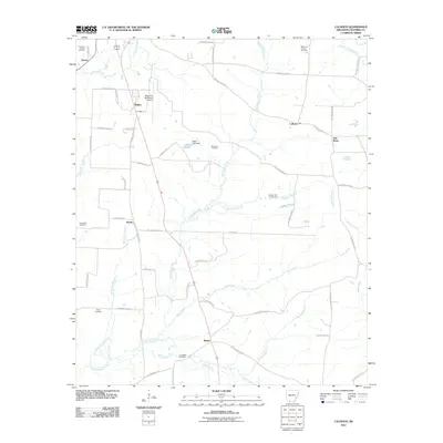
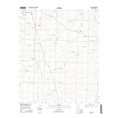
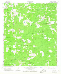 1966 Calhoun1967 Print · USGSMid-century Columbia County comes into focus through this survey of the oil-and-timber country south of Magnolia. Genealogists and researchers can trace the locations of historic churches and cemeteries like Christies Chapel, Jerusalem Cem, and Mt Carmel Ch.2 unique versions available
 - 1968 Map of Waldo, 1969 Print
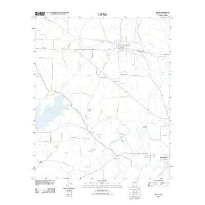
 1968 Waldo1969 Print · USGSWaldo and the surrounding Columbia County countryside are documented here in the late sixties. Genealogists and historians can trace family locations near Frog Level Plantation, Westside Sch, and several rural burial grounds like Dickson Cem.2 unique versions available
 - 1968 Map of Magnolia, 1970 Print
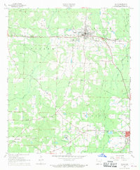
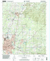
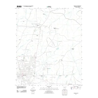
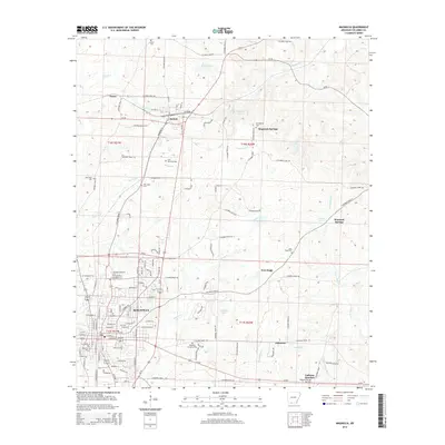
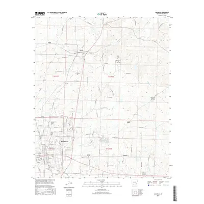
 1968 Magnolia1970 Print · USGSMagnolia and its surrounding rail corridors are captured here during the late sixties as the region grew into a center of education and industry. Researchers can trace the grounds of Southern State College or find family history at St Matthews Cem and McNeil.2 unique versions available
 - 1986 Map of Magnolia
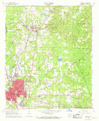
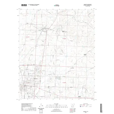
 1986 Magnolia1986 Print · USGSThe Arkansas-Louisiana borderlands in the mid-1980s are defined by the river systems and the reach of the petroleum industry. Genealogists and historians can trace the St Louis Southwestern Railroad through Stamps or locate rural sites like Cleveland Cem and Brightstar.2 unique versions available
 - 1989 Map of El Dorado, 1990 Print
 1989 El Dorado1990 Print · USGSThe Arkansas-Louisiana borderlands in the late eighties show a landscape of heavy industry and wildlife conservation centered on the Ouachita River. Researchers can trace the legacy of timber and transport via the Missouri Pacific RR, Poison Springs State Forest, and the vast Felsenthal Pool.
 - 2000 Map of Magnolia, 2002 Print
 2000 Magnolia2002 Print · USGSMagnolia and the surrounding Columbia County countryside are documented here at the turn of the millennium, showing a landscape defined by higher education and the energy industry. Researchers can find Southern State College, the Louisiana and Northwest RR, and the extensive Magnolia Oil and Gas Field.
 - 2011 Map of Calhoun, 2011 Print
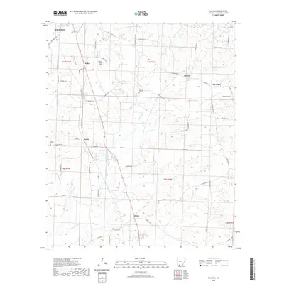
 2011 Calhoun2011 Print · USGSCovers Magnolia, including Calhoun, Partee, and other nearby areas
 - 2011 Map of Magnolia, 2011 Print
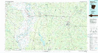
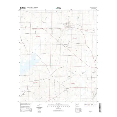
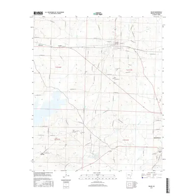
 2011 Magnolia2011 Print · USGSCovers Magnolia, including McNeil, Magnesia Springs, and other nearby areas
 - 2011 Map of Waldo, 2011 Print
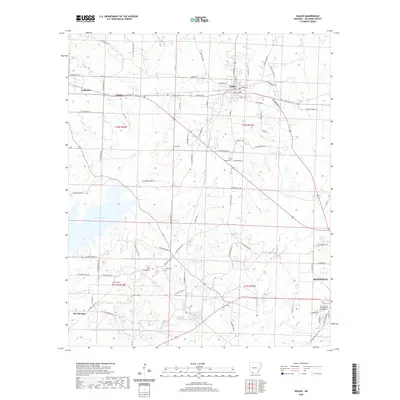
 2011 Waldo2011 Print · USGSCovers Magnolia, including Waldo, Lumber, and other nearby areas
 - 2014 Map of Waldo, 2014 Print
 2014 Waldo2014 Print · USGSCovers Magnolia, including Waldo, Lumber, and other nearby areas
 - 2014 Map of Calhoun, 2014 Print
 2014 Calhoun2014 Print · USGSCovers Magnolia, including Calhoun, Partee, and other nearby areas
 - 2014 Map of Magnolia, 2014 Print
 2014 Magnolia2014 Print · USGSCovers Magnolia, including McNeil, Magnesia Springs, and other nearby areas
 - 2017 Map of Waldo, 2017 Print
 2017 Waldo2017 Print · USGSCovers Magnolia, including Waldo, Lumber, and other nearby areas
 - 2017 Map of Calhoun, 2017 Print
 2017 Calhoun2017 Print · USGSCovers Magnolia, including Calhoun, Partee, and other nearby areas
 - 2017 Map of Magnolia, 2017 Print
 2017 Magnolia2017 Print · USGSCovers Magnolia, including McNeil, Magnesia Springs, and other nearby areas
 - 2020 Map of Magnolia, 2020 Print
 2020 Magnolia2020 Print · USGSCovers Magnolia, including McNeil, Magnesia Springs, and other nearby areas
 - 2020 Map of Waldo, 2020 Print
 2020 Waldo2020 Print · USGSCovers Magnolia, including Waldo, Lumber, and other nearby areas
 - 2020 Map of Calhoun, 2020 Print
 2020 Calhoun2020 Print · USGSCovers Magnolia, including Calhoun, Partee, and other nearby areas
 - 2024 Map of Waldo, 2024 Print
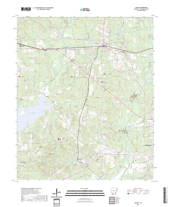 2024 Waldo2024 Print · USGSWaldo and the surrounding Columbia County countryside are detailed here during the mid-2020s. Researchers can locate numerous local landmarks including Cedar Grove Cem, Lake Columbia, and the small settlement of Box Springs.
 - 2024 Map of Calhoun, 2024 Print
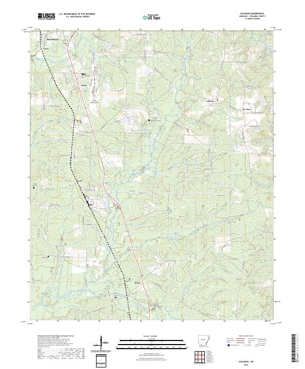 2024 Calhoun2024 Print · USGSThe rural landscape of Columbia County comes into focus as it appeared in the early 2020s. Genealogists and historians can trace family locations near Brister, Kerlin, and West Plainview Cem Cem, or follow the waters of Horsehead Creek.
 - 2024 Map of Magnolia, 2024 Print
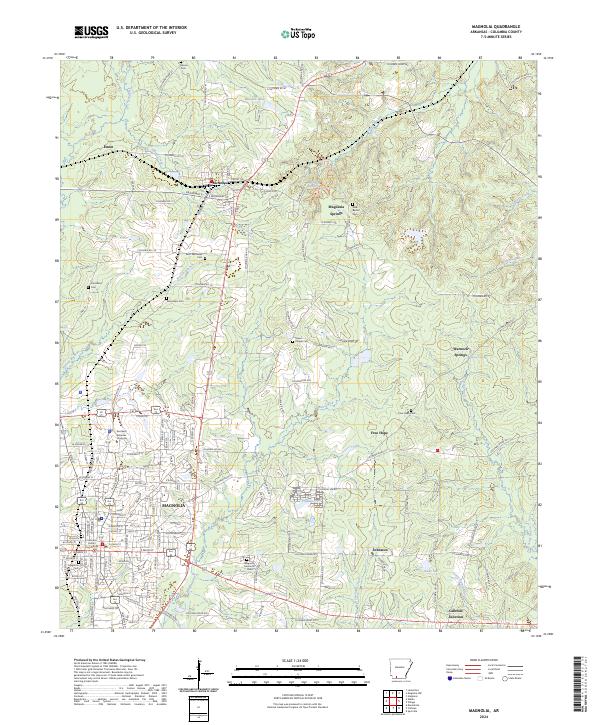 2024 Magnolia2024 Print · USGSMagnolia and the surrounding Columbia County timberlands are shown in detail during the early twenty-first century. Genealogists and local historians can trace family locations at Magnolia Cem, Hartsfield Cem, and the old settlement at McNeil.
End of results
Showing maps 1-25 of 25
Top cities near Magnolia
- Waldo historical maps
- Stephens historical maps
- McNeil historical maps
- Taylor historical maps
- Buckner historical maps
- Emerson historical maps
Top neighborhoods of Magnolia
Frequently asked questions
- What are the different types of historical maps available for Magnolia?
- What is the oldest map of Magnolia?
- Where can I purchase historical maps of Magnolia for my home or office?
- Where can I download high-res historical maps of Magnolia?
- Are there historical topographic maps available for Magnolia?
- Is there historical aerial imagery available for Magnolia?
- Where are historical maps of Magnolia sourced from?