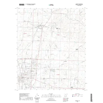
2020 Map of Magnolia
USGS Topo · Published 2020About this map
Magnolia serves as the focal point of this South Arkansas landscape, anchored by the Columbia County Courthouse and the campus of Southern Arkansas University. The settlement pattern reflects a mix of concentrated urban blocks and sprawling rural sections connected by an extensive network of county roads. Smaller communities like McNeil, Magnesia Springs, and Calhoun Junction dot the outskirts, often identified by local landmarks such as New Bethel Cem or Free Hope Cem.
Find a feature on this map
94 named features on this map. Tap any name to fly to it.
Don’t see what you’re looking for? This feature index may not catch every label — zoom into the map to look around manually.
Map Details
Editions of this 2020 Magnolia Map
This is the sole edition of this map. No revisions or reprints were ever made.
Other maps of this area

1953 · El Dorado
USGS Topo · 1:250,000

1957 · El Dorado
USGS Topo · 1:250,000

1958 · El Dorado
USGS Topo · 1:250,000

1960 · El Dorado
USGS Topo · 1:250,000

1960 · Macedonia
USGS Topo · 1:24,000

1966 · Village
USGS Topo · 1:24,000

1966 · Calhoun
USGS Topo · 1:24,000

1966 · Spotville
USGS Topo · 1:24,000

1968 · Lamartine
USGS Topo · 1:24,000

1968 · Waldo
USGS Topo · 1:24,000