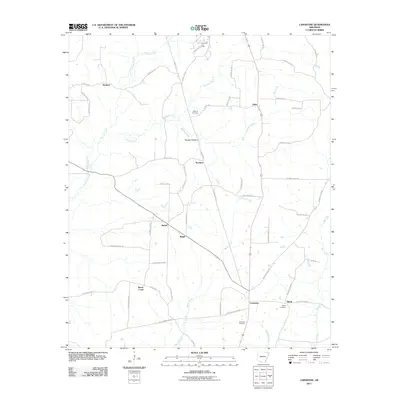
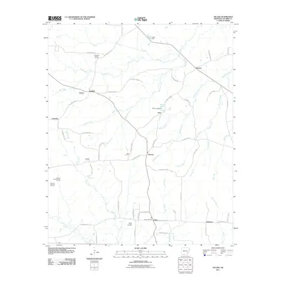
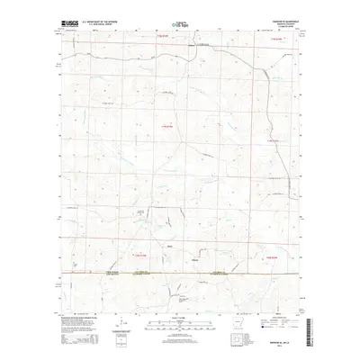
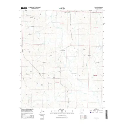
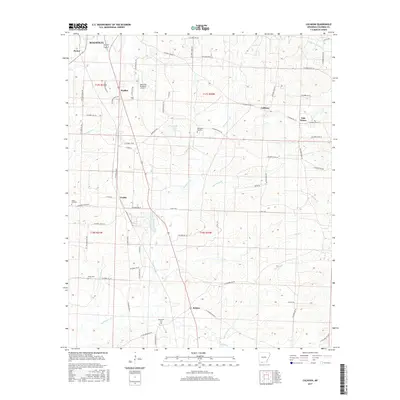
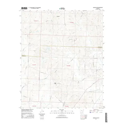
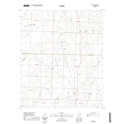
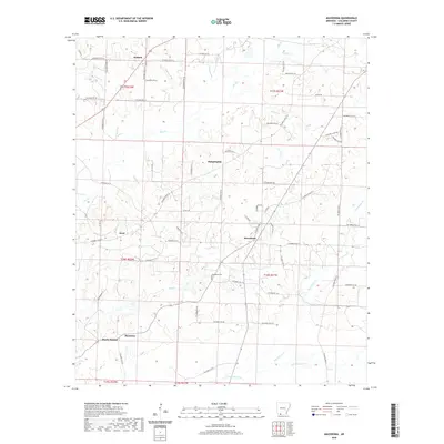
1966 Map of Village
USGS Topo · Published 1967About this map
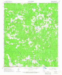
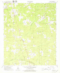
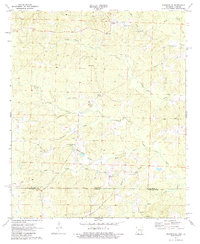
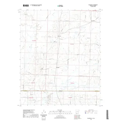
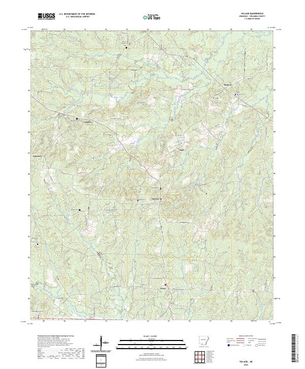
The Stephens Oil and Gas Field dominates the northern reaches of this mid-1960s landscape, illustrating the industrial footprint of petroleum extraction in rural Columbia County. The map reveals a highly structured pattern of land use where energy production and local agricultural life exist side-by-side, connected by a network of unimproved roads and pipelines. Small community hubs like Laughlin and Village serve as anchors for the surrounding countryside, each supporting local congregations such as Laughlin Ch and Ebenezer Ch. The drainage patterns of Smackover Creek and Cornie Bayou define the southern and northern boundaries of the quadrangle, while numerous family and community burial grounds, including Miller Cem and Jameson Cem, provide essential data points for local genealogists tracing resident families during this era of rural development.
Find a feature on this map
44 named features on this map. Tap any name to fly to it.
Don’t see what you’re looking for? This feature index may not catch every label — zoom into the map to look around manually.
Map Details
Editions of this 1966 Village Map
This is the sole edition of this map. No revisions or reprints were ever made.
Historical Maps of Snipe Through Time
54 maps found
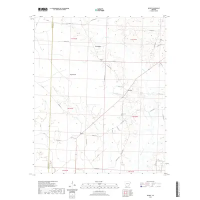
1960 Bussey
Columbia County, AR
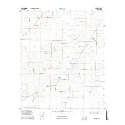
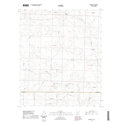
1960 Macedonia
Columbia County, AR
1960 Walkerville
Columbia County, AR
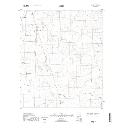
1966 Calhoun
Columbia County, AR
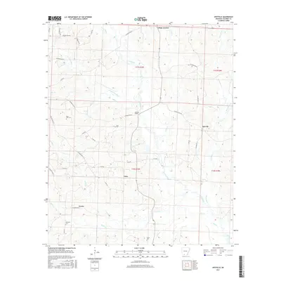
1966 Spotville
Columbia County, AR
1966 Village
Columbia County, AR
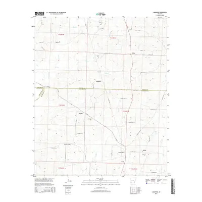
1968 Lamartine
Columbia County, AR
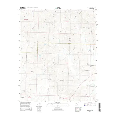
1969 Magnolia NW
Columbia County, AR
1971 Emerson SE
Columbia County, AR
2011 Bussey
Columbia County, AR
2011 Calhoun
Columbia County, AR
2011 Emerson SE
Columbia County, AR
2011 Lamartine
Columbia County, AR
2011 Macedonia
Columbia County, AR
2011 Magnolia NW
Columbia County, AR
2011 Spotville
Columbia County, AR
2011 Village
Columbia County, AR
2011 Walkerville
Columbia County, AR
2014 Bussey
Columbia County, AR
2014 Calhoun
Columbia County, AR
2014 Emerson SE
Columbia County, AR
2014 Lamartine
Columbia County, AR
2014 Macedonia
Columbia County, AR
2014 Magnolia NW
Columbia County, AR
2014 Spotville
Columbia County, AR
2014 Village
Columbia County, AR
2014 Walkerville
Columbia County, AR
2017 Bussey
Columbia County, AR
2017 Calhoun
Columbia County, AR
2017 Emerson SE
Columbia County, AR
2017 Lamartine
Columbia County, AR
2017 Macedonia
Columbia County, AR
2017 Magnolia NW
Columbia County, AR
2017 Spotville
Columbia County, AR
2017 Village
Columbia County, AR
2017 Walkerville
Columbia County, AR
2020 Bussey
Columbia County, AR
2020 Calhoun
Columbia County, AR
2020 Emerson SE
Columbia County, AR
2020 Lamartine
Columbia County, AR
2020 Macedonia
Columbia County, AR
2020 Magnolia NW
Columbia County, AR
2020 Spotville
Columbia County, AR
2020 Village
Columbia County, AR
2020 Walkerville
Columbia County, AR
2024 Bussey
Columbia County, AR
2024 Calhoun
Columbia County, AR
2024 Emerson SE
Columbia County, AR
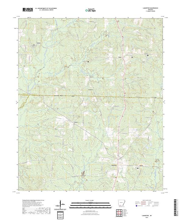
2024 Lamartine
Columbia County, AR
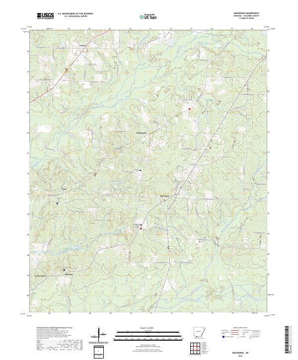
2024 Macedonia
Columbia County, AR
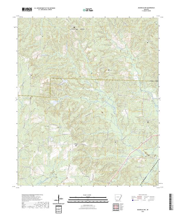
2024 Magnolia NW
Columbia County, AR
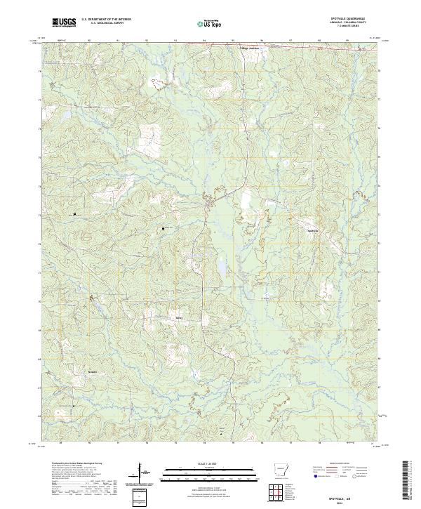
2024 Spotville
Columbia County, AR
2024 Village
Columbia County, AR
2024 Walkerville
Columbia County, AR