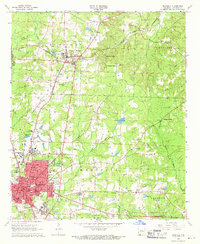
1968 Map of Magnolia
USGS Topo · Published 1970About this map
Southern State College serves as a major hub for this region of Columbia County, which by the late 1960s was a center of education and industry. The city of Magnolia is depicted with its full urban grid, including the Courthouse, Park Hosp, and various local schools like Columbia High Sch. Beyond the city limits, the landscape is defined by the intersection of the St Louis Southwestern and the Louisiana and North West railroads, which facilitated trade through McNeil and Calhoun Junction.
Find a feature on this map
63 named features on this map. Tap any name to fly to it.
Don’t see what you’re looking for? This feature index may not catch every label — zoom into the map to look around manually.
Map Details
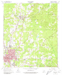
Editions of this 1968 Magnolia Map
2 editions found
Other maps of this area

1953 · El Dorado
USGS Topo · 1:250,000

1957 · El Dorado
USGS Topo · 1:250,000

1958 · El Dorado
USGS Topo · 1:250,000

1960 · El Dorado
USGS Topo · 1:250,000

1960 · Macedonia
USGS Topo · 1:24,000

1966 · Village
USGS Topo · 1:24,000

1966 · Calhoun
USGS Topo · 1:24,000

1966 · Spotville
USGS Topo · 1:24,000

1968 · Lamartine
USGS Topo · 1:24,000

1968 · Waldo
USGS Topo · 1:24,000