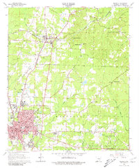
1968 Map of Magnolia
USGS Topo · Published 1981About this map
Southern State College and the growing residential blocks of Magnolia define the southern portion of this mid-century survey, reflecting the city's role as an educational and regional hub. To the north, the smaller settlement of McNeil sits at the intersection of the St Louis Southwestern and the Louisiana and North West railroads, highlighting the importance of rail transport for both timber and petroleum.
Find a feature on this map
72 named features on this map. Tap any name to fly to it.
Don’t see what you’re looking for? This feature index may not catch every label — zoom into the map to look around manually.
Map Details
Editions of this 1968 Magnolia Map
2 editions found
Other maps of this area

1953 · El Dorado
USGS Topo · 1:250,000

1957 · El Dorado
USGS Topo · 1:250,000

1958 · El Dorado
USGS Topo · 1:250,000

1960 · El Dorado
USGS Topo · 1:250,000

1960 · Macedonia
USGS Topo · 1:24,000

1966 · Village
USGS Topo · 1:24,000

1966 · Calhoun
USGS Topo · 1:24,000

1966 · Spotville
USGS Topo · 1:24,000

1968 · Lamartine
USGS Topo · 1:24,000

1968 · Waldo
USGS Topo · 1:24,000