
1962 Map of Mt Holly
USGS Topo · Published 1963About this map
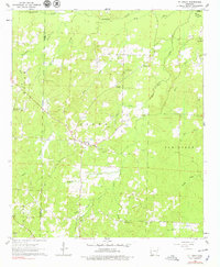
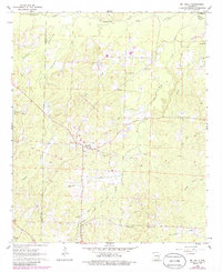
The Mount Holly Oil and Gas Field and the Bear Creek Oil and Gas Field define the economic landscape of western Union County in the early 1960s. This survey records the rural infrastructure supporting these petroleum interests, including the small settlement at Mt Holly and the nearby Wickham. The terrain is characterized by a dense network of waterways like Smackover Creek and Holly Creek, which flow through the timbered hills of Boone and Van Buren townships. Scattered throughout these woods are numerous small congregations and burial grounds, such as Silver Hill Ch, St Matthew Ch, and New Hope Cem, which provide essential points of reference for genealogists tracing family roots in this corner of Arkansas. The map's detailed topography, including fine red dashed lines for fence and field lines, captures the transition between industrial resource extraction and the established agricultural patterns of the era.
Find a feature on this map
33 named features on this map. Tap any name to fly to it.
Don’t see what you’re looking for? This feature index may not catch every label — zoom into the map to look around manually.
Map Details
Editions of this 1962 Mt Holly Map
3 editions found
Other maps of this area

1953 · El Dorado
USGS Topo · 1:250,000

1957 · El Dorado
USGS Topo · 1:250,000

1958 · El Dorado
USGS Topo · 1:250,000

1960 · El Dorado
USGS Topo · 1:250,000

1962 · Lisbon
USGS Topo · 1:24,000

1962 · Louann
USGS Topo · 1:24,000

1962 · Buena Vista
USGS Topo · 1:24,000

1964 · Louann
USGS Topo · 1:62,500

1966 · Village
USGS Topo · 1:24,000

1966 · Spotville
USGS Topo · 1:24,000