
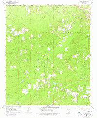
1962 Map of Lisbon
USGS Topo · Published 1963About this map
The Lisbon Oil and Gas Field and its counterparts, the Bear Creek Oil and Gas Field and the Smackover Oil and Gas Field, dominate this South Arkansas landscape during the early 1960s. This survey illustrates the intensive resource extraction in Union County and Ouachita County, with numerous well pads and service roads carving through the timberlands. Settled pockets like Lisbon and Dumas City are surrounded by a high density of small family and community burial grounds, including Lone Oak Cem, Hicks Cem, and Yocum Cem, which provide essential clues for genealogical research.
Find a feature on this map
23 named features on this map. Tap any name to fly to it.
Don’t see what you’re looking for? This feature index may not catch every label — zoom into the map to look around manually.
Map Details
Editions of this 1962 Lisbon Map
3 editions found
Other maps of this area

1927 · El Dorado
USGS Topo · 1:62,500

1930 · El Dorado
USGS Topo · 1:62,500

1951 · El Dorado
USGS Topo · 1:62,500

1953 · El Dorado
USGS Topo · 1:250,000

1957 · El Dorado
USGS Topo · 1:250,000

1958 · El Dorado
USGS Topo · 1:250,000

1960 · El Dorado
USGS Topo · 1:250,000

1962 · Louann
USGS Topo · 1:24,000

1962 · Buena Vista
USGS Topo · 1:24,000

1962 · Smackover
USGS Topo · 1:24,000