
1962 Map of Louann
USGS Topo · Published 1963About this map
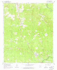
The Smackover Oil and Gas Field dominates the southern landscape of this South Arkansas quadrangle, showing a dense network of extraction infrastructure near the town of Louann. The Missouri Pacific railroad serves as a central spine, connecting the settlements of Elliott, Kirkland, and Sylvan Hills as it runs parallel to Smackover Creek. This early 1960s survey illustrates a region where industrial energy production meets traditional rural life, evidenced by the numerous country churches and family burial grounds scattered throughout the timbered hills.
Find a feature on this map
35 named features on this map. Tap any name to fly to it.
Don’t see what you’re looking for? This feature index may not catch every label — zoom into the map to look around manually.
Map Details
Editions of this 1962 Louann Map
3 editions found
Other maps of this area

1903 · Camden
USGS Topo · 1:125,000

1951 · Camden
USGS Topo · 1:24,000

1953 · El Dorado
USGS Topo · 1:250,000

1957 · El Dorado
USGS Topo · 1:250,000

1958 · El Dorado
USGS Topo · 1:250,000

1960 · El Dorado
USGS Topo · 1:250,000

1962 · Lisbon
USGS Topo · 1:24,000

1962 · Buena Vista
USGS Topo · 1:24,000

1962 · Smackover
USGS Topo · 1:24,000

1962 · Snow Hill
USGS Topo · 1:24,000